24 Atlantic Dr Little Compton, RI 02837
Estimated Value: $4,989,000 - $7,547,000
5
Beds
7
Baths
6,403
Sq Ft
$1,007/Sq Ft
Est. Value
About This Home
This home is located at 24 Atlantic Dr, Little Compton, RI 02837 and is currently estimated at $6,446,431, approximately $1,006 per square foot. 24 Atlantic Dr is a home located in Newport County with nearby schools including Wilbur & McMahon School.
Ownership History
Date
Name
Owned For
Owner Type
Purchase Details
Closed on
Nov 4, 2020
Sold by
Susan Barrow 1990 T and Susan Barrow
Bought by
Barrow Christopher T
Current Estimated Value
Purchase Details
Closed on
Jan 17, 1997
Sold by
Foley William G
Bought by
Barrow Susan C
Create a Home Valuation Report for This Property
The Home Valuation Report is an in-depth analysis detailing your home's value as well as a comparison with similar homes in the area
Home Values in the Area
Average Home Value in this Area
Purchase History
| Date | Buyer | Sale Price | Title Company |
|---|---|---|---|
| Barrow Christopher T | -- | None Available | |
| Barrow Christopher T | -- | None Available | |
| Barrow Susan C | $485,000 | -- | |
| Barrow Susan C | $485,000 | -- |
Source: Public Records
Tax History
| Year | Tax Paid | Tax Assessment Tax Assessment Total Assessment is a certain percentage of the fair market value that is determined by local assessors to be the total taxable value of land and additions on the property. | Land | Improvement |
|---|---|---|---|---|
| 2025 | $27,667 | $5,775,900 | $2,681,800 | $3,094,100 |
| 2024 | $21,685 | $4,268,700 | $2,331,700 | $1,937,000 |
| 2023 | $21,173 | $4,268,700 | $2,331,700 | $1,937,000 |
| 2022 | $20,879 | $4,261,100 | $2,331,700 | $1,929,400 |
| 2021 | $22,425 | $3,712,700 | $1,959,800 | $1,752,900 |
| 2020 | $22,239 | $3,712,700 | $1,959,800 | $1,752,900 |
| 2019 | $22,010 | $3,711,700 | $1,959,800 | $1,751,900 |
| 2018 | $21,870 | $3,669,500 | $1,959,800 | $1,709,700 |
| 2016 | $20,806 | $3,669,500 | $1,959,800 | $1,709,700 |
| 2015 | $18,075 | $3,143,500 | $1,433,800 | $1,709,700 |
| 2014 | $17,729 | $3,143,500 | $1,433,800 | $1,709,700 |
Source: Public Records
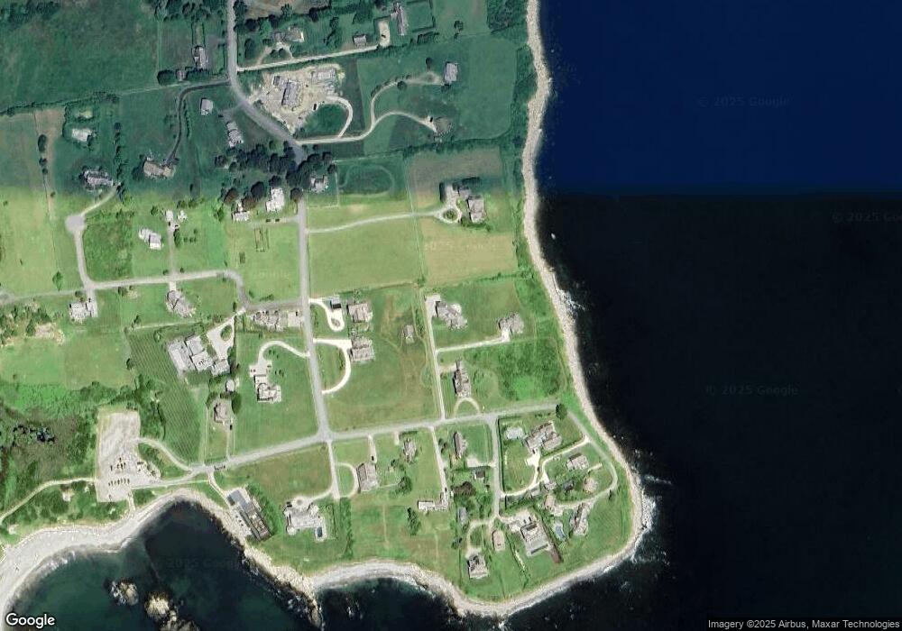
Map
Nearby Homes
- 49 Ocean Dr
- 141 S Of Commons Rd
- 30 Indian Rd
- 89 S Shore Rd
- 38 Old Bull Ln
- 128 Maple Ave
- 441 W Main Rd
- 0 Willow Ave
- 505 Long Hwy
- 141 Peckham Rd
- 515 Indian Ave
- 255 John Dyer Rd
- 180 W Main Rd
- 17 Ferolbink Way
- 155 W Main Rd
- 0 Indian Ave
- 225 Old Mill Ln
- 141 Gray Craig Rd
- 245 John Dyer Rd
- 180 Cottontail Dr
- 26 Atlantic Dr
- 27 Atlantic Dr
- 20 Grinnell Rd
- 1 Kempton Place
- 28 Grinnell Rd
- 3 Kempton Place
- 24 Grinnell Rd
- 33 Atlantic Dr
- 21 Atlantic Dr
- 17 Atlantic Dr
- 37 Grinnell Rd
- 35 Atlantic Dr
- 10 Grinnell Rd
- 5 Kempton Place
- 7 Kempton Place
- 23 Grinnell Rd
- 14 Grinnell Rd
- 6 Atlantic Dr
- 9 Kempton Place
- 25 Grinnell Rd
Your Personal Tour Guide
Ask me questions while you tour the home.