Estimated Value: $716,598 - $817,000
3
Beds
2
Baths
1,586
Sq Ft
$487/Sq Ft
Est. Value
About This Home
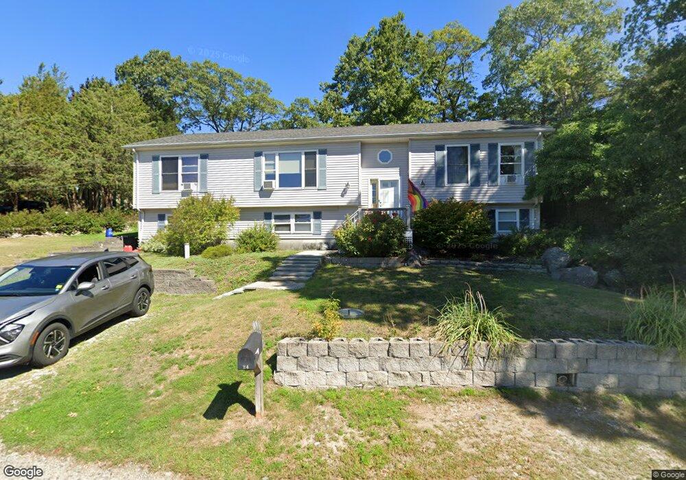
This home is located at 24 Barnstable Rd, Hull, MA 02045 and is currently estimated at $771,650, approximately $486 per square foot. 24 Barnstable Rd is a home located in Plymouth County with nearby schools including Lillian M. Jacobs Elementary School, Memorial Middle School, and Hull High School.
Ownership History
Date
Name
Owned For
Owner Type
Purchase Details
Closed on
Jan 23, 2001
Sold by
Donohue Philip T and Donohue Carol A
Bought by
Casagrande Robert C and Donohue Carrie A
Current Estimated Value
Home Financials for this Owner
Home Financials are based on the most recent Mortgage that was taken out on this home.
Original Mortgage
$57,000
Outstanding Balance
$21,000
Interest Rate
7.52%
Mortgage Type
Purchase Money Mortgage
Estimated Equity
$750,650
Purchase Details
Closed on
Aug 9, 2000
Sold by
Mattalinao Ft and Mattaliano
Bought by
Donohue Philip T and Donohue Carole A
Purchase Details
Closed on
Dec 24, 1998
Sold by
Cotoulas Helen D and Cotoulas James C
Bought by
Ryder Dev Corp
Create a Home Valuation Report for This Property
The Home Valuation Report is an in-depth analysis detailing your home's value as well as a comparison with similar homes in the area
Purchase History
| Date | Buyer | Sale Price | Title Company |
|---|---|---|---|
| Casagrande Robert C | $62,000 | -- | |
| Donohue Philip T | $60,000 | -- | |
| Ryder Dev Corp | $50,000 | -- |
Source: Public Records
Mortgage History
| Date | Status | Borrower | Loan Amount |
|---|---|---|---|
| Open | Ryder Dev Corp | $57,000 |
Source: Public Records
Tax History
| Year | Tax Paid | Tax Assessment Tax Assessment Total Assessment is a certain percentage of the fair market value that is determined by local assessors to be the total taxable value of land and additions on the property. | Land | Improvement |
|---|---|---|---|---|
| 2025 | $6,806 | $607,700 | $286,200 | $321,500 |
| 2024 | $6,848 | $587,800 | $276,900 | $310,900 |
| 2023 | $6,711 | $551,400 | $258,500 | $292,900 |
| 2022 | $6,512 | $519,300 | $240,000 | $279,300 |
| 2021 | $6,233 | $491,600 | $212,300 | $279,300 |
| 2020 | $5,988 | $467,100 | $212,300 | $254,800 |
| 2019 | $5,850 | $448,300 | $203,100 | $245,200 |
| 2018 | $5,938 | $442,500 | $203,100 | $239,400 |
| 2017 | $5,703 | $415,700 | $203,100 | $212,600 |
| 2016 | $5,447 | $404,100 | $203,100 | $201,000 |
| 2015 | $5,187 | $372,100 | $170,800 | $201,300 |
| 2014 | $4,971 | $358,400 | $170,800 | $187,600 |
Source: Public Records
Map
Nearby Homes
- 155 George Washington Blvd Unit 210
- 23 Wyola Rd
- 22 Berkley Rd Unit B
- 10 Berkley Rd Unit A
- 121 Nantasket Ave Unit 503
- 99 Nantasket Ave
- 137 Hampton Cir
- 10 Chestnut Place
- 15 Lincoln Ave
- 120 Nantasket Ave Unit 207
- 120 Nantasket Ave Unit 204
- 120 Nantasket Ave Unit 304
- 120 Nantasket Ave Unit PH5
- 120 Nantasket Ave Unit 201
- 127 Hampton Cir
- 2 Cliff Rd
- 1 Longbeach Ave Unit 202
- 62 Oceanside Dr
- 3 3rd St
- 6 State Park Rd Unit 2
- 26 Barnstable Rd
- 22 Barnstable Rd
- 28 Barnstable Rd
- 7 Salisbury St
- 0 Salisbury St
- 1 Rowley St
- 175 George Washington Blvd
- 175 George Washington Blvd Unit 2
- 175 George Washington Blvd Unit 1
- 0 Barnstable Rd
- 20 Ipswich St
- 45 Salisbury St
- 25 Ipswich St
- 3 Rowley St
- 1 N Truro St
- 11 N Truro St
- 11 N Truro St Unit 1
- 35 Barnstable Rd
- 155 Geo Wash Blvd Unit 412
- 155 George Washngtn Blvd Unit 714
Your Personal Tour Guide
Ask me questions while you tour the home.