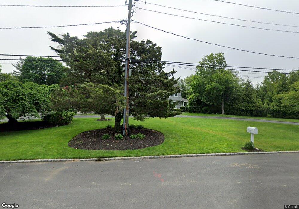
24 Bluff Point Rd Northport, NY 11768
Estimated Value: $1,442,196 - $2,277,000
--
Bed
--
Bath
--
Sq Ft
1
Acres
About This Home
This home is located at 24 Bluff Point Rd, Northport, NY 11768 and is currently estimated at $1,979,549. 24 Bluff Point Rd is a home located in Suffolk County with nearby schools including Northport Senior High School, The School House, and Trinity Regional School-East Northport Campus.
Ownership History
Date
Name
Owned For
Owner Type
Purchase Details
Closed on
Dec 4, 2009
Sold by
Pastor Donald C and Pastor Diane K
Bought by
Demarco Darren and Demarco Rachel
Current Estimated Value
Home Financials for this Owner
Home Financials are based on the most recent Mortgage that was taken out on this home.
Original Mortgage
$650,000
Outstanding Balance
$424,424
Interest Rate
5%
Mortgage Type
Purchase Money Mortgage
Estimated Equity
$1,555,125
Purchase Details
Closed on
Jan 16, 2004
Sold by
Pastor Diane K
Bought by
Pastor Donald C and Pastor Diane K
Create a Home Valuation Report for This Property
The Home Valuation Report is an in-depth analysis detailing your home's value as well as a comparison with similar homes in the area
Home Values in the Area
Average Home Value in this Area
Purchase History
| Date | Buyer | Sale Price | Title Company |
|---|---|---|---|
| Demarco Darren | $1,150,000 | -- | |
| Demarco Darren | $1,150,000 | -- | |
| Pastor Donald C | -- | Fidelity National Title Insu | |
| Pastor Donald C | -- | Fidelity National Title Insu |
Source: Public Records
Mortgage History
| Date | Status | Borrower | Loan Amount |
|---|---|---|---|
| Open | Demarco Darren | $650,000 | |
| Closed | Demarco Darren | $650,000 |
Source: Public Records
Tax History Compared to Growth
Tax History
| Year | Tax Paid | Tax Assessment Tax Assessment Total Assessment is a certain percentage of the fair market value that is determined by local assessors to be the total taxable value of land and additions on the property. | Land | Improvement |
|---|---|---|---|---|
| 2024 | $32,426 | $8,700 | $1,100 | $7,600 |
| 2023 | $10,993 | $8,700 | $1,100 | $7,600 |
| 2022 | $20,564 | $8,700 | $1,100 | $7,600 |
| 2021 | $19,717 | $8,700 | $1,100 | $7,600 |
| 2020 | $29,142 | $8,700 | $1,100 | $7,600 |
| 2019 | $48,526 | $0 | $0 | $0 |
| 2018 | $18,460 | $8,700 | $1,100 | $7,600 |
| 2017 | $18,460 | $8,700 | $1,100 | $7,600 |
| 2016 | $18,219 | $8,700 | $1,100 | $7,600 |
| 2015 | -- | $8,700 | $1,100 | $7,600 |
| 2014 | -- | $7,500 | $1,100 | $6,400 |
Source: Public Records
Map
Nearby Homes
- 14 Mariners Ln
- 6 Lady Jane Way
- 3 Porpoise Ct
- 12 Fairwind Ct
- 139 Bayview Ave
- 122 Bayview Ave
- 2 Bayview Terrace
- 22 Schooner Rd
- 87 Bayview Ave
- 48 Terry Rd
- lot Valley Ave
- 26 Clipper Dr
- 19 Beach Plum Dr
- 140 Ocean Ave
- 4 Horseshoe Dr
- 25 Spring Hollow Rd
- 10 Hollise Ct
- 0 Little Neck Rd
- 145 Asharoken Ave
- 175 Fox Ln
- 22 Bluff Point Rd
- 4 Harbour Point Dr
- 4 Harbour Point Dr Unit 4 HP
- 6 Harbour Point Dr
- 5 Harbour Point Dr
- 3 Harbour Point Dr
- 2 Harbour Point Dr
- 1 Harbour Point Dr
- 7 Harbour Point Dr
- 8 Harbour Point Dr
- 9 Harbour Point Dr
- 18 Bluff Point Rd
- 10 Harbour Point Dr
- 3 Duffy Ct
- 0 Malcolms Landing
- 7 Malcolms Landing
- 6 Malcolms Landing
- 5 Malcolms Landing
- 21 Bluff Point Rd Unit 13
- 8 Malcolms Landing
