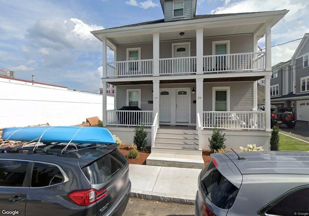
24 Branch St Quincy, MA 02169
South Quincy NeighborhoodEstimated Value: $695,000 - $918,000
4
Beds
2
Baths
1,904
Sq Ft
$427/Sq Ft
Est. Value
About This Home
This home is located at 24 Branch St, Quincy, MA 02169 and is currently estimated at $813,346, approximately $427 per square foot. 24 Branch St is a home located in Norfolk County with nearby schools including South West Middle School, Lincoln-Hancock Community School, and Quincy High School.
Ownership History
Date
Name
Owned For
Owner Type
Purchase Details
Closed on
Jan 11, 2013
Sold by
Austin Steven M and Chin Rebecca
Bought by
Austin Rlty Proprietor
Current Estimated Value
Purchase Details
Closed on
Apr 23, 2010
Sold by
Alice L Souden T
Bought by
Austin Steven M and Chin Rebecca D
Home Financials for this Owner
Home Financials are based on the most recent Mortgage that was taken out on this home.
Original Mortgage
$210,000
Interest Rate
5%
Mortgage Type
Purchase Money Mortgage
Create a Home Valuation Report for This Property
The Home Valuation Report is an in-depth analysis detailing your home's value as well as a comparison with similar homes in the area
Home Values in the Area
Average Home Value in this Area
Purchase History
| Date | Buyer | Sale Price | Title Company |
|---|---|---|---|
| Austin Rlty Proprietor | -- | -- | |
| Austin Rlty Proprietor | -- | -- | |
| Austin Steven M | $300,000 | -- | |
| Austin Steven M | $300,000 | -- |
Source: Public Records
Mortgage History
| Date | Status | Borrower | Loan Amount |
|---|---|---|---|
| Previous Owner | Austin Steven M | $210,000 |
Source: Public Records
Tax History Compared to Growth
Tax History
| Year | Tax Paid | Tax Assessment Tax Assessment Total Assessment is a certain percentage of the fair market value that is determined by local assessors to be the total taxable value of land and additions on the property. | Land | Improvement |
|---|---|---|---|---|
| 2025 | $8,548 | $741,400 | $318,700 | $422,700 |
| 2024 | $8,045 | $713,800 | $303,900 | $409,900 |
| 2023 | $7,505 | $674,300 | $277,100 | $397,200 |
| 2022 | $7,164 | $598,000 | $232,300 | $365,700 |
| 2021 | $7,288 | $600,300 | $232,300 | $368,000 |
| 2020 | $7,414 | $596,500 | $232,300 | $364,200 |
| 2019 | $7,066 | $563,000 | $219,700 | $343,300 |
| 2018 | $6,590 | $494,000 | $204,100 | $289,900 |
| 2017 | $6,644 | $468,900 | $194,700 | $274,200 |
| 2016 | $5,931 | $413,000 | $170,500 | $242,500 |
| 2015 | $5,844 | $400,300 | $170,500 | $229,800 |
| 2014 | $5,238 | $352,500 | $170,500 | $182,000 |
Source: Public Records
Map
Nearby Homes
- 21 Totman St Unit 202
- 21 Totman St Unit 309
- 21 Totman St Unit Model-1
- 21 Totman St Unit 209
- 21 Totman St Unit 203
- 21 Totman St Unit 2
- 347 Centre St
- 118 Brook Rd Unit 2
- 94 Brook Rd Unit 3
- 56 Penn St Unit 4
- 21 Arthur St
- 91 Garfield St
- 64 Garfield St Unit B
- 14 Arthur Ave
- 12 Arthur Ave
- 57 Buckley St
- 46-48 Buckley St
- 51 Brook Rd
- 72 Federal Ave
- 211 West St Unit 12B
- 24 Branch St Unit 2
- 26 Branch St Unit 1
- 17 Branch St Unit 19
- 20A Branch St
- 20 Branch St
- 11 Vernon St
- 19 Branch St
- 23 Branch St Unit 3
- 23 Branch St
- 23 Branch St Unit 5
- 9 Vernon St
- 27 Branch St
- 17 Vernon St
- 33 Branch St
- 38 Branch St
- 11 Branch St
- 22 Albertina St
- 30 Albertina St
- 253 Centre St
- 28 Albertina St