24 Branglebrink Rd Saint James, NY 11780
Estimated Value: $1,104,474 - $2,187,000
4
Beds
4
Baths
3,181
Sq Ft
$491/Sq Ft
Est. Value
About This Home
This home is located at 24 Branglebrink Rd, Saint James, NY 11780 and is currently estimated at $1,562,869, approximately $491 per square foot. 24 Branglebrink Rd is a home located in Suffolk County with nearby schools including Dogwood Elementary School, Ss Philip & James School, and Harbor Country Day School.
Ownership History
Date
Name
Owned For
Owner Type
Purchase Details
Closed on
Jun 24, 2011
Sold by
White Top Mountain Family Limited Partne
Bought by
Wolf John H and Wolf Julie
Current Estimated Value
Purchase Details
Closed on
Sep 24, 2004
Sold by
Montalbano Anthony P
Bought by
Wolf John H
Purchase Details
Closed on
Sep 17, 1999
Sold by
Stephen H Wild Inc
Bought by
Montalbano Anthony P and Montalbano Anne D
Home Financials for this Owner
Home Financials are based on the most recent Mortgage that was taken out on this home.
Original Mortgage
$127,500
Interest Rate
5%
Mortgage Type
Stand Alone First
Create a Home Valuation Report for This Property
The Home Valuation Report is an in-depth analysis detailing your home's value as well as a comparison with similar homes in the area
Home Values in the Area
Average Home Value in this Area
Purchase History
| Date | Buyer | Sale Price | Title Company |
|---|---|---|---|
| Wolf John H | -- | -- | |
| Wolf John H | -- | -- | |
| Wolf John H | $1,200,000 | Caryn Chambers | |
| Wolf John H | $1,200,000 | Caryn Chambers | |
| Montalbano Anthony P | $255,000 | First American Title Ins Co | |
| Montalbano Anthony P | $255,000 | First American Title Ins Co |
Source: Public Records
Mortgage History
| Date | Status | Borrower | Loan Amount |
|---|---|---|---|
| Previous Owner | Montalbano Anthony P | $127,500 |
Source: Public Records
Tax History
| Year | Tax Paid | Tax Assessment Tax Assessment Total Assessment is a certain percentage of the fair market value that is determined by local assessors to be the total taxable value of land and additions on the property. | Land | Improvement |
|---|---|---|---|---|
| 2024 | $25,098 | $11,328 | $1,095 | $10,233 |
| 2023 | $25,098 | $11,328 | $1,095 | $10,233 |
| 2022 | $20,737 | $11,328 | $1,095 | $10,233 |
| 2021 | $20,737 | $11,328 | $1,095 | $10,233 |
| 2020 | $23,019 | $11,739 | $1,095 | $10,644 |
| 2019 | $23,019 | $0 | $0 | $0 |
| 2018 | -- | $11,739 | $1,095 | $10,644 |
| 2017 | $20,462 | $11,739 | $1,095 | $10,644 |
| 2016 | $20,261 | $11,739 | $1,095 | $10,644 |
| 2015 | -- | $12,090 | $1,095 | $10,995 |
| 2014 | -- | $12,800 | $1,095 | $11,705 |
Source: Public Records
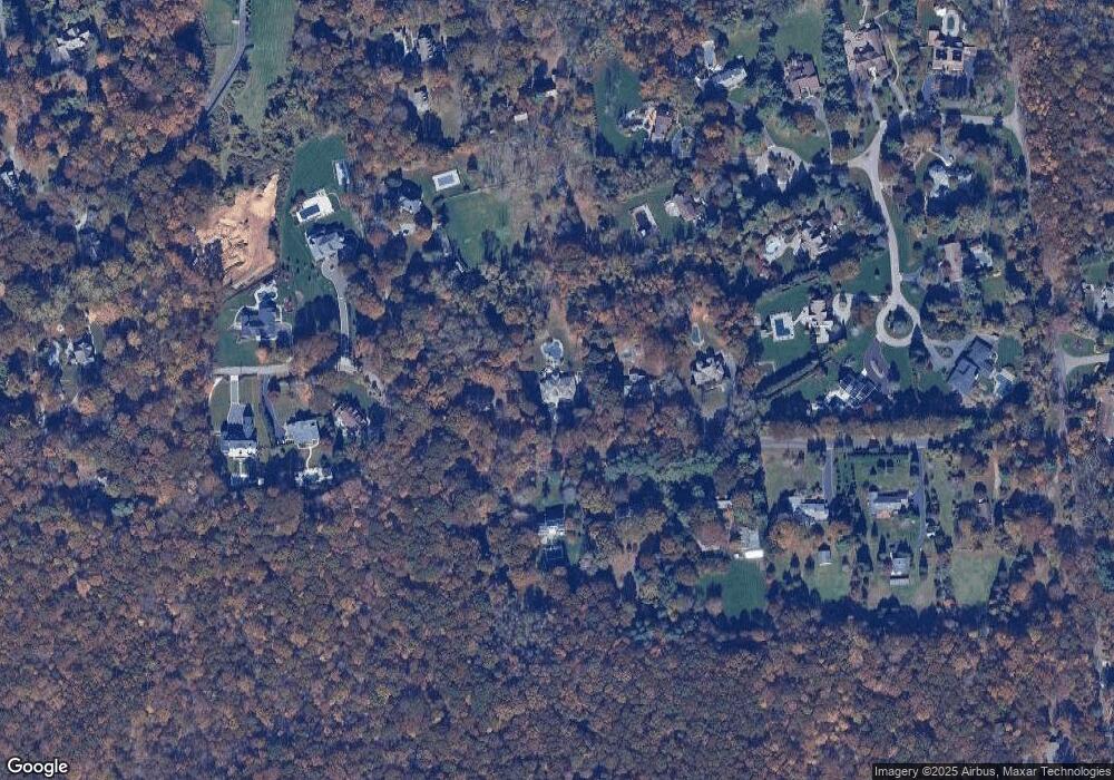
Map
Nearby Homes
- 260 Old Mill Rd
- 550 Moriches Rd
- 8 Steep Bank Rd
- 1 Fifty Acre Ct
- 9 Swan Place
- 0 Laurel Hill Path
- 1 Spring Hollow Rd
- 474 Route 25A
- 18 Watercrest Ct
- 3 Livingston St
- 36 Vanderbilt Ave
- 37 Bridle Path
- 277 River Rd
- 2 Riverview Terrace
- 120 4th St
- 326 Nissequogue River Rd
- 326A River Rd
- 122 4th St
- 173 Fifty Acre Rd S
- 1 Tracklot Rd
- 16 Branglebrink Rd
- 34 Branglebrink Rd
- 26 Branglebrink Rd
- 31 Branglebrink Rd
- 21 Branglebrink Rd
- 14 Branglebrink Rd
- 29 Branglebrink Rd
- 15 Branglebrink Rd
- 7 Meadow Gate W
- 28 Branglebrink Rd
- 35 Branglebrink Rd
- 6 Meadow Gate W
- 9 Branglebrink Rd
- 8 Meadow Gate W
- 32 Branglebrink Rd
- 4 Meadow Gate W
- 5 Meadow Gate W
- 5 Meadow Gate W
- 37 Branglebrink Rd
Your Personal Tour Guide
Ask me questions while you tour the home.