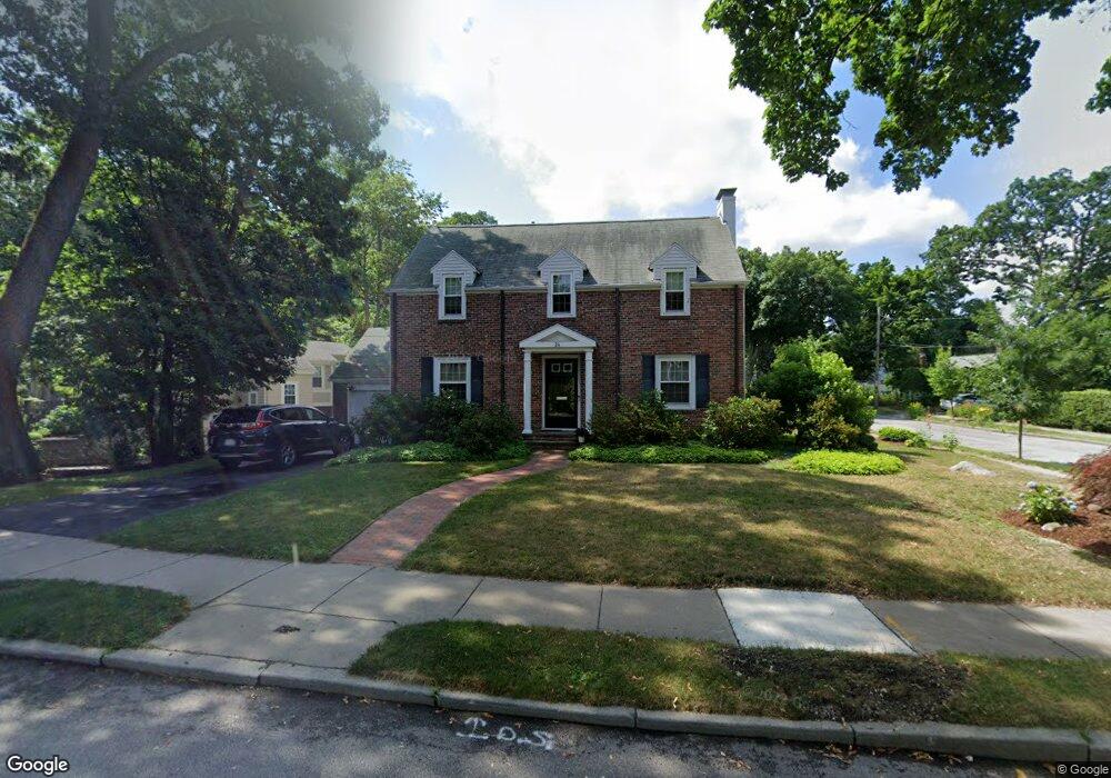
24 Brentwood Ave Newton Center, MA 02459
Newton Centre NeighborhoodEstimated Value: $1,571,000 - $1,690,000
3
Beds
3
Baths
2,118
Sq Ft
$775/Sq Ft
Est. Value
About This Home
This home is located at 24 Brentwood Ave, Newton Center, MA 02459 and is currently estimated at $1,642,219, approximately $775 per square foot. 24 Brentwood Ave is a home located in Middlesex County with nearby schools including Mason Rice Elementary School, Charles E Brown Middle School, and Newton South High School.
Ownership History
Date
Name
Owned For
Owner Type
Purchase Details
Closed on
Jul 15, 2022
Sold by
Sholkin Howard S and Sholkin Sharon R
Bought by
Sholkin 2022 Ret
Current Estimated Value
Create a Home Valuation Report for This Property
The Home Valuation Report is an in-depth analysis detailing your home's value as well as a comparison with similar homes in the area
Home Values in the Area
Average Home Value in this Area
Purchase History
| Date | Buyer | Sale Price | Title Company |
|---|---|---|---|
| Sholkin 2022 Ret | -- | None Available |
Source: Public Records
Tax History Compared to Growth
Tax History
| Year | Tax Paid | Tax Assessment Tax Assessment Total Assessment is a certain percentage of the fair market value that is determined by local assessors to be the total taxable value of land and additions on the property. | Land | Improvement |
|---|---|---|---|---|
| 2025 | $13,795 | $1,407,700 | $1,198,600 | $209,100 |
| 2024 | $13,339 | $1,366,700 | $1,163,700 | $203,000 |
| 2023 | $12,683 | $1,245,900 | $886,100 | $359,800 |
| 2022 | $12,136 | $1,153,600 | $820,500 | $333,100 |
| 2021 | $11,710 | $1,088,300 | $774,100 | $314,200 |
| 2020 | $11,362 | $1,088,300 | $774,100 | $314,200 |
| 2019 | $11,041 | $1,056,600 | $751,600 | $305,000 |
| 2018 | $10,572 | $977,100 | $678,400 | $298,700 |
| 2017 | $10,250 | $921,800 | $640,000 | $281,800 |
| 2016 | $9,804 | $861,500 | $598,100 | $263,400 |
| 2015 | $9,347 | $805,100 | $559,000 | $246,100 |
Source: Public Records
Map
Nearby Homes
- 54 Garland Rd
- 1114 Beacon St Unit 106
- 1114 Beacon St Unit 203
- 1114 Beacon St Unit 111
- 1114 Beacon St Unit 104
- 1114 Beacon St Unit 207
- 59 Charlotte Rd
- 26 Wilson Cir Unit 26
- 956 Walnut St Unit 4
- 956 Walnut St Unit 7
- 956 Walnut St Unit 6
- 28 Wilson Cir Unit 28
- 32 Wilson Cir Unit 32
- Lots 2 & 3 Chapin Rd
- Lot 3 Chapin Rd
- Lot 2 Chapin Rd
- 887 Commonwealth Ave
- 61 Lakeview Ave
- 154 Beaumont Ave
- 34 Morton Rd
- 16 Brentwood Ave
- 35 Garland Rd
- 34 Brentwood Ave
- 53 Garland Rd
- 19 Brentwood Ave
- 6 Brentwood Ave
- 29 Garland Rd
- 38 Garland Rd
- 40 Greenlawn Ave
- 42 Brentwood Ave
- 32 Garland Rd
- 59 Garland Rd
- 46 Greenlawn Ave
- 23 Garland Rd
- 24 Garland Rd
- 41 Brentwood Ave
- 46 Brentwood Ave
- 52 Greenlawn Ave
- 60 Garland Rd
- 20 Greenlawn Ave