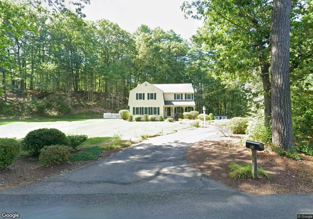
24 Brook St Dunstable, MA 01827
Estimated Value: $381,000 - $816,000
4
Beds
3
Baths
2,560
Sq Ft
$231/Sq Ft
Est. Value
About This Home
This home is located at 24 Brook St, Dunstable, MA 01827 and is currently estimated at $591,941, approximately $231 per square foot. 24 Brook St is a home located in Middlesex County with nearby schools including Groton Dunstable Regional High School and 2nd Nature Academy.
Ownership History
Date
Name
Owned For
Owner Type
Purchase Details
Closed on
Jul 7, 2000
Sold by
Gentner Thomas F and Gentner Patricia Q
Bought by
Friedgen Jeffrey E and Friedgen Elizabeth A
Current Estimated Value
Create a Home Valuation Report for This Property
The Home Valuation Report is an in-depth analysis detailing your home's value as well as a comparison with similar homes in the area
Home Values in the Area
Average Home Value in this Area
Purchase History
| Date | Buyer | Sale Price | Title Company |
|---|---|---|---|
| Friedgen Jeffrey E | $335,000 | -- |
Source: Public Records
Mortgage History
| Date | Status | Borrower | Loan Amount |
|---|---|---|---|
| Open | Friedgen Jeffrey E | $171,200 | |
| Closed | Friedgen Jeffrey E | $177,700 | |
| Closed | Friedgen Jeffrey E | $201,500 |
Source: Public Records
Tax History
| Year | Tax Paid | Tax Assessment Tax Assessment Total Assessment is a certain percentage of the fair market value that is determined by local assessors to be the total taxable value of land and additions on the property. | Land | Improvement |
|---|---|---|---|---|
| 2025 | $8,899 | $647,200 | $224,600 | $422,600 |
| 2024 | $8,470 | $606,700 | $205,500 | $401,200 |
| 2023 | $8,445 | $564,100 | $205,500 | $358,600 |
| 2022 | $7,831 | $513,500 | $205,500 | $308,000 |
| 2021 | $7,706 | $469,600 | $187,800 | $281,800 |
| 2020 | $7,714 | $458,100 | $187,800 | $270,300 |
| 2019 | $7,542 | $442,100 | $187,800 | $254,300 |
| 2018 | $9,999 | $422,000 | $186,400 | $235,600 |
| 2017 | $7,135 | $419,200 | $186,400 | $232,800 |
| 2016 | $6,814 | $411,700 | $178,200 | $233,500 |
| 2015 | $6,495 | $388,200 | $150,500 | $237,700 |
| 2014 | $6,122 | $388,200 | $150,500 | $237,700 |
Source: Public Records
Map
Nearby Homes
- 319 Pleasant St
- 62 Brook St
- 153 Off Pond St
- 235 Kemp St
- 660 Old Dunstable Rd
- 0 Lowell St
- 12 Unkety Brook Way
- 11 Unkety Brook Way
- 179 Wyman Rd
- 121 Cherrywood Dr
- 1 Doucet Ave
- 77 Wilderness Dr
- 141 Ridge Rd
- 58 Wilderness Dr
- 2 Wilderness Dr
- 7 Wilderness Dr
- 11 Lojko Dr
- 1 Wilderness Dr
- 79 Wilderness Dr
- 3 Wilderness Dr
- 27 Brook St
- 35 Brook St
- 13 Brook St
- 11 Lots Alexander Estates
- Lot 1 Alexander Estates
- 1 Hardy St Right of 157
- 329 Pleasant St
- 307 Pleasant St
- 339 Pleasant St
- 293 Pleasant St
- 54 Brook St
- 54 Brook St Unit 54
- 330 Pleasant St
- 314 Pleasant St
- 59 Brook St
- 349 Pleasant St
- 298 Pleasant St
- 338 Pleasant St
- 348 Pleasant St
- 285 Pleasant St
Your Personal Tour Guide
Ask me questions while you tour the home.