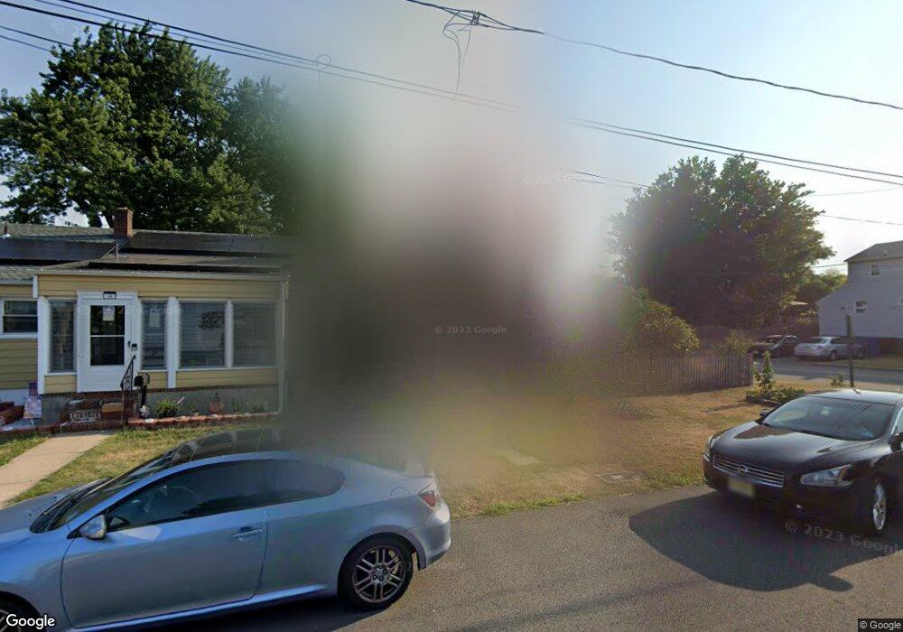
24 Brookfield Ave Woodbridge, NJ 07095
Estimated Value: $258,155 - $476,000
--
Bed
--
Bath
1,020
Sq Ft
$390/Sq Ft
Est. Value
About This Home
This home is located at 24 Brookfield Ave, Woodbridge, NJ 07095 and is currently estimated at $398,039, approximately $390 per square foot. 24 Brookfield Ave is a home located in Middlesex County with nearby schools including Ross Street Elementary School, Woodbridge Middle School, and Woodbridge High School.
Ownership History
Date
Name
Owned For
Owner Type
Purchase Details
Closed on
Feb 4, 2004
Current Estimated Value
Purchase Details
Closed on
Jan 29, 2001
Sold by
Impaglia Charles
Bought by
Labracio Peter and Nimetz Nicole
Home Financials for this Owner
Home Financials are based on the most recent Mortgage that was taken out on this home.
Original Mortgage
$131,700
Interest Rate
7.08%
Create a Home Valuation Report for This Property
The Home Valuation Report is an in-depth analysis detailing your home's value as well as a comparison with similar homes in the area
Home Values in the Area
Average Home Value in this Area
Purchase History
| Date | Buyer | Sale Price | Title Company |
|---|---|---|---|
| -- | -- | -- | |
| Labracio Peter | $148,000 | -- |
Source: Public Records
Mortgage History
| Date | Status | Borrower | Loan Amount |
|---|---|---|---|
| Previous Owner | Labracio Peter | $131,700 |
Source: Public Records
Tax History Compared to Growth
Tax History
| Year | Tax Paid | Tax Assessment Tax Assessment Total Assessment is a certain percentage of the fair market value that is determined by local assessors to be the total taxable value of land and additions on the property. | Land | Improvement |
|---|---|---|---|---|
| 2025 | $7,891 | $58,300 | $17,400 | $40,900 |
| 2024 | $7,696 | $58,300 | $17,400 | $40,900 |
| 2023 | $7,696 | $58,300 | $17,400 | $40,900 |
| 2022 | $7,227 | $58,300 | $17,400 | $40,900 |
| 2021 | $7,152 | $58,300 | $17,400 | $40,900 |
| 2020 | $6,917 | $58,300 | $17,400 | $40,900 |
| 2019 | $6,741 | $58,300 | $17,400 | $40,900 |
| 2018 | $6,564 | $58,300 | $17,400 | $40,900 |
| 2017 | $6,432 | $58,300 | $17,400 | $40,900 |
| 2016 | $6,370 | $58,300 | $17,400 | $40,900 |
| 2015 | $6,245 | $58,300 | $17,400 | $40,900 |
| 2014 | $6,096 | $58,300 | $17,400 | $40,900 |
Source: Public Records
Map
Nearby Homes
- 524 Bamford Ave
- 532 Bamford Ave
- 60 Crampton Ave
- 29 Claire Ave
- 46 Melbourne Ct
- 13 Melbourne Ct
- 135 Crampton Ave
- 15 Rector Ave
- 15 Rector Ave Unit 2
- 587 Ellis Place
- 52 Martin Terrace
- 59 Trinity Ln
- 13 Lillian Terrace
- 660 Leone St
- 62 Green St
- 65 Green St
- 54 Freeman St
- 682 Leone St
- 140 S Robert St
- 657 Barron Ave
- 30 Brookfield Ave
- 20 Brookfield Ave
- 28 Brookfield Ave
- 63 Claire Ave
- 65 Claire Ave
- 518 Almon Ave
- 61 Claire Ave
- 67 Claire Ave
- 18 Brookfield Ave
- 519 Bamford Ave
- 57 Claire Ave
- 524 Almon Ave
- 519 Almon Ave
- 519 Almon Ave Unit 2
- 71 Claire Ave
- 523 Bamford Ave
- 16 Brookfield Ave
- 25 Brookfield Ave
- 51 Claire Ave
- 525 Almon Ave