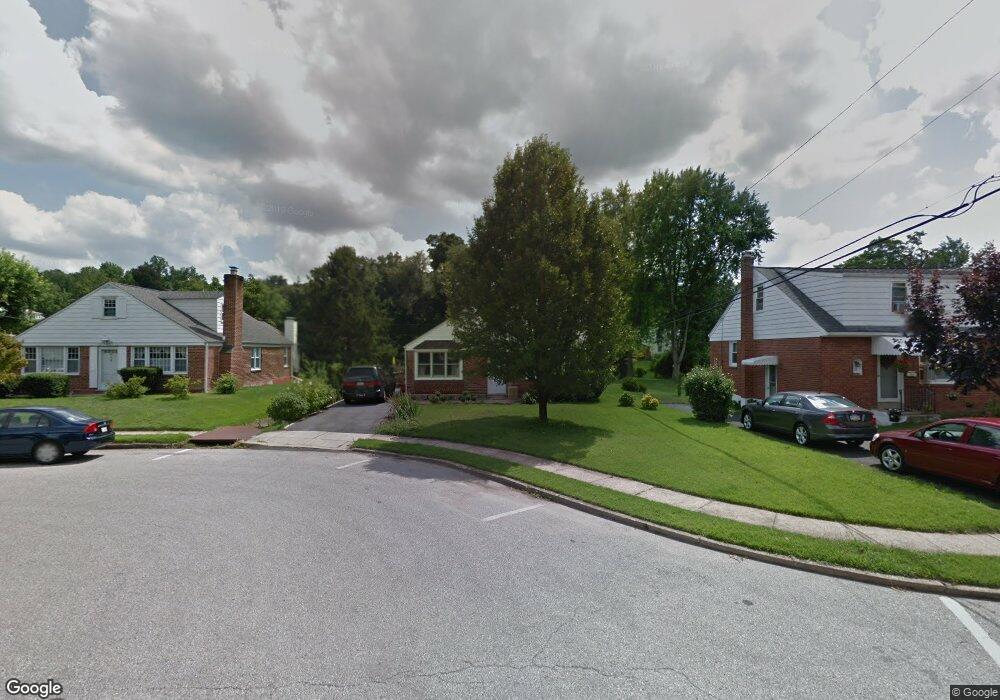
24 Brookside Rd Glenside, PA 19038
Estimated Value: $546,000 - $1,096,000
6
Beds
5
Baths
4,584
Sq Ft
$184/Sq Ft
Est. Value
About This Home
This home is located at 24 Brookside Rd, Glenside, PA 19038 and is currently estimated at $843,612, approximately $184 per square foot. 24 Brookside Rd is a home located in Montgomery County with nearby schools including Erdenheim Elementary School, Enfield Elementary School, and Springfield Township Middle School.
Ownership History
Date
Name
Owned For
Owner Type
Purchase Details
Closed on
Nov 19, 2004
Sold by
Not Provided
Bought by
Not Provided
Current Estimated Value
Home Financials for this Owner
Home Financials are based on the most recent Mortgage that was taken out on this home.
Original Mortgage
$0
Interest Rate
5.8%
Purchase Details
Closed on
Oct 25, 2004
Sold by
Not Provided
Bought by
Not Provided
Home Financials for this Owner
Home Financials are based on the most recent Mortgage that was taken out on this home.
Original Mortgage
$0
Interest Rate
5.8%
Purchase Details
Closed on
Oct 22, 2003
Sold by
Stricker Cathy S
Bought by
Stricker Edward R
Purchase Details
Closed on
Aug 7, 1995
Sold by
Maher James and Maher Joan F
Bought by
Schock Susanne A
Create a Home Valuation Report for This Property
The Home Valuation Report is an in-depth analysis detailing your home's value as well as a comparison with similar homes in the area
Home Values in the Area
Average Home Value in this Area
Purchase History
| Date | Buyer | Sale Price | Title Company |
|---|---|---|---|
| Not Provided | $200,000 | -- | |
| Not Provided | $200,000 | -- | |
| Stricker Edward R | -- | -- | |
| Russell Rachel | $165,000 | -- | |
| Schock Susanne A | $114,000 | T A Title Insurance Company |
Source: Public Records
Mortgage History
| Date | Status | Borrower | Loan Amount |
|---|---|---|---|
| Closed | Not Provided | $0 | |
| Closed | Not Provided | $0 |
Source: Public Records
Tax History
| Year | Tax Paid | Tax Assessment Tax Assessment Total Assessment is a certain percentage of the fair market value that is determined by local assessors to be the total taxable value of land and additions on the property. | Land | Improvement |
|---|---|---|---|---|
| 2025 | $10,586 | $224,720 | -- | -- |
| 2024 | $10,586 | $224,720 | -- | -- |
| 2023 | $10,217 | $224,720 | $0 | $0 |
| 2022 | $9,924 | $224,720 | $0 | $0 |
| 2021 | $9,664 | $224,720 | $0 | $0 |
| 2020 | $9,438 | $224,720 | $0 | $0 |
| 2019 | $9,293 | $224,720 | $0 | $0 |
Source: Public Records
Map
Nearby Homes
- 32 Windsor Rd
- 9402 Meadowbrook Ave
- 118 E Hillcrest Ave
- 99 Rorer St
- 111 Chesney Ln
- 216 Heatherwood Rd
- 28 Grove Ave
- 116 E Chestnut Hill Ave
- 305 Glenway Rd
- 124 E Chestnut Hill Ave
- 8408 Prospect Ave
- 8609 Trumbauer Dr Unit L57
- 30 Summit St
- 310 E Evergreen Ave
- 8610 Evergreen Place Unit 201
- 205 E Evergreen Ave
- 4134 Jackson Dr
- 402 Pennybrook Ct
- 418 Glenway Rd
- 8550 Trumbauer Dr Unit L35
- 26 Brookside Rd
- 22 Brookside Rd
- 28 Brookside Rd
- 30 Brookside Rd
- 43 Gordon Rd
- 45 Gordon Rd
- 41 Gordon Rd
- 47 Gordon Rd Unit 50
- 18 Brookside Rd
- 39 Gordon Rd
- 49 Gordon Rd
- 51 Gordon Rd
- 37 Gordon Rd Unit 26
- 23 Brookside Rd
- 32 Brookside Rd
- 25 Brookside Rd
- 53 Gordon Rd
- 21 Brookside Rd
- 16 Brookside Rd
- 35 Gordon Rd
Your Personal Tour Guide
Ask me questions while you tour the home.