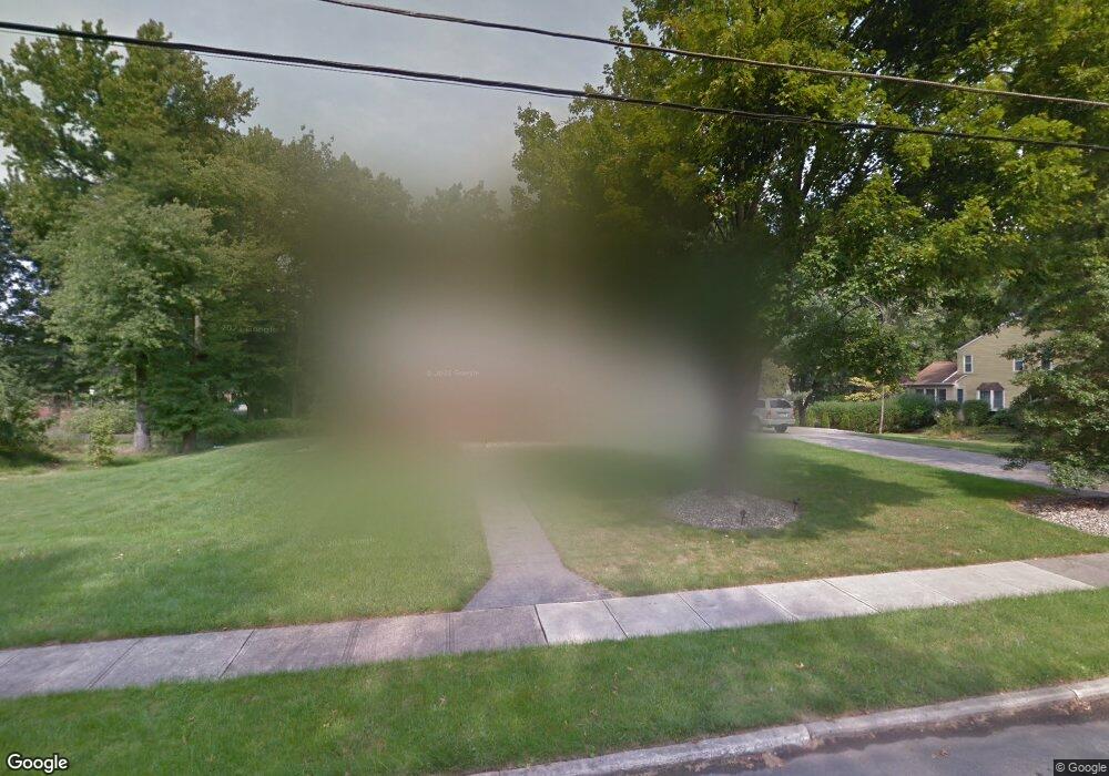
24 Brophy Dr Ewing, NJ 08638
Ewingville NeighborhoodEstimated Value: $565,000 - $727,000
Studio
--
Bath
2,252
Sq Ft
$285/Sq Ft
Est. Value
About This Home
This home is located at 24 Brophy Dr, Ewing, NJ 08638 and is currently estimated at $642,267, approximately $285 per square foot. 24 Brophy Dr is a home located in Mercer County with nearby schools including Ewing High School, Trenton Stem-To-Civics Charter School, and Guidepost Montessori at Lawrenceville.
Ownership History
Date
Name
Owned For
Owner Type
Purchase Details
Closed on
Feb 22, 2008
Sold by
Fowler James and Shaw Milton
Bought by
Rego Joseph
Current Estimated Value
Home Financials for this Owner
Home Financials are based on the most recent Mortgage that was taken out on this home.
Original Mortgage
$361,000
Outstanding Balance
$224,764
Interest Rate
5.9%
Mortgage Type
New Conventional
Estimated Equity
$417,503
Purchase Details
Closed on
Mar 30, 2007
Sold by
Mangonon Georgea M and Mangonon Family Trust
Bought by
Monarch Bldrs Inc and Property Management Group & Devt Inc
Home Financials for this Owner
Home Financials are based on the most recent Mortgage that was taken out on this home.
Interest Rate
6.16%
Purchase Details
Closed on
Jun 26, 2001
Sold by
Knapp Richard
Bought by
Hopwood Kevin and Hopwood Ann
Home Financials for this Owner
Home Financials are based on the most recent Mortgage that was taken out on this home.
Original Mortgage
$140,000
Interest Rate
7.2%
Create a Home Valuation Report for This Property
The Home Valuation Report is an in-depth analysis detailing your home's value as well as a comparison with similar homes in the area
Home Values in the Area
Average Home Value in this Area
Purchase History
| Date | Buyer | Sale Price | Title Company |
|---|---|---|---|
| Rego Joseph | $380,000 | -- | |
| Monarch Bldrs Inc | -- | -- | |
| Hopwood Kevin | $190,000 | -- |
Source: Public Records
Mortgage History
| Date | Status | Borrower | Loan Amount |
|---|---|---|---|
| Open | Rego Joseph | $361,000 | |
| Previous Owner | Monarch Bldrs Inc | -- | |
| Previous Owner | Hopwood Kevin | $140,000 |
Source: Public Records
Tax History
| Year | Tax Paid | Tax Assessment Tax Assessment Total Assessment is a certain percentage of the fair market value that is determined by local assessors to be the total taxable value of land and additions on the property. | Land | Improvement |
|---|---|---|---|---|
| 2025 | $13,494 | $343,100 | $96,600 | $246,500 |
| 2024 | $12,684 | $343,100 | $96,600 | $246,500 |
Source: Public Records
Map
Nearby Homes
- 2 Sparrow Ct
- 2148 Pennington Rd
- 13 Lopatcong Dr
- 19 van Saun Dr
- 10 Howe Ct
- 438 Ewingville Rd
- 200 Amberleigh Dr Unit 32H
- 89 Upper Ferry Rd
- 632 Timberlake Dr
- 305 Tuxford Ct
- 305 Deer Run Ct Unit C
- 222 Masterson Ct
- 231 Masterson Ct
- 235 Masterson Ct
- 345 Masterson Ct
- 311 Timberlake Dr
- 4 David Dr
- 146 Masterson Ct
- 6 Van Gogh Ct
- 1 Beth Ann Way
Your Personal Tour Guide
Ask me questions while you tour the home.