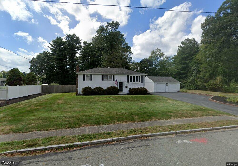
24 Captain Standish Dr Abington, MA 02351
Estimated Value: $602,000 - $620,581
3
Beds
2
Baths
1,488
Sq Ft
$413/Sq Ft
Est. Value
About This Home
This home is located at 24 Captain Standish Dr, Abington, MA 02351 and is currently estimated at $614,395, approximately $412 per square foot. 24 Captain Standish Dr is a home located in Plymouth County with nearby schools including Beaver Brook Elementary School, Abington Middle School, and Woodsdale School.
Ownership History
Date
Name
Owned For
Owner Type
Purchase Details
Closed on
Jul 29, 2022
Sold by
Palmacci Jeffrey D and Palmacci Heather L
Bought by
Branton Dana and Branton Mark
Current Estimated Value
Purchase Details
Closed on
Sep 5, 2001
Sold by
Morley Ft and Morley
Bought by
Morley Scott M and Morley Cheryl A
Home Financials for this Owner
Home Financials are based on the most recent Mortgage that was taken out on this home.
Original Mortgage
$221,600
Interest Rate
7.05%
Mortgage Type
Purchase Money Mortgage
Create a Home Valuation Report for This Property
The Home Valuation Report is an in-depth analysis detailing your home's value as well as a comparison with similar homes in the area
Home Values in the Area
Average Home Value in this Area
Purchase History
| Date | Buyer | Sale Price | Title Company |
|---|---|---|---|
| Branton Dana | $740,000 | None Available | |
| Morley Scott M | $277,000 | -- |
Source: Public Records
Mortgage History
| Date | Status | Borrower | Loan Amount |
|---|---|---|---|
| Previous Owner | Morley Scott M | $211,000 | |
| Previous Owner | Morley Scott M | $15,000 | |
| Previous Owner | Morley Scott M | $236,500 | |
| Previous Owner | Morley Scott M | $221,600 | |
| Closed | Branton Dana | $0 |
Source: Public Records
Tax History Compared to Growth
Tax History
| Year | Tax Paid | Tax Assessment Tax Assessment Total Assessment is a certain percentage of the fair market value that is determined by local assessors to be the total taxable value of land and additions on the property. | Land | Improvement |
|---|---|---|---|---|
| 2025 | $7,001 | $536,100 | $267,300 | $268,800 |
| 2024 | $6,671 | $498,600 | $243,400 | $255,200 |
| 2023 | $6,372 | $448,400 | $221,700 | $226,700 |
| 2022 | $5,981 | $393,000 | $185,400 | $207,600 |
| 2021 | $5,720 | $347,100 | $169,300 | $177,800 |
| 2020 | $5,880 | $345,900 | $170,500 | $175,400 |
| 2019 | $5,850 | $336,400 | $163,600 | $172,800 |
| 2018 | $2,272 | $316,700 | $163,600 | $153,100 |
| 2017 | $5,643 | $307,500 | $163,600 | $143,900 |
| 2016 | $4,985 | $278,000 | $149,400 | $128,600 |
| 2015 | $4,610 | $271,200 | $149,400 | $121,800 |
Source: Public Records
Map
Nearby Homes
- 137 Peregrine Rd
- 800 Plymouth St
- 679 Plymouth St
- 158 Central St
- 608 Plymouth St
- 64 Centre Ave Unit 1
- 14 Daniel Teague Dr
- 133 Spring St
- 87 Summer St
- 170 Pleasant St
- 10 Bank St
- 17 Pat Rose Way
- 40 Bedford St
- 20 Pat Rose Way
- 40 Lazel St
- 8 Pat Rose Way
- 6 Pat Rose Way
- 19 Pat Rose Way
- 89 Andrew Ford Way
- 810 Brookline Way
- 12 Captain Standish Dr
- 42 Hersey Ln
- 34 Captain Standish Dr
- 27 Captain Standish Dr
- 30 Captain Standish Dr
- 30 Hersey Ln
- 11 Captain Standish Dr
- 38 Captain Standish Dr
- 48 Captain Standish Dr
- 49 Hersey Ln
- 20 Hersey Ln
- 41 Captain Standish Dr
- 63 Hersey Ln
- 88 Hersey Ln
- 7 Peregrine Rd
- 599 Summer St
- 599 Summer St
- 29 Hersey Ln
- 932 Plymouth St
- 58 Captain Standish Dr