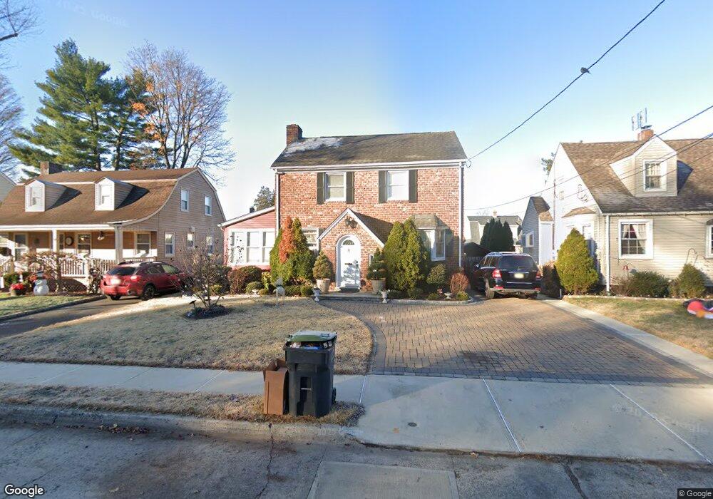
24 Carol Ln Bergenfield, NJ 07621
Estimated Value: $594,986 - $678,000
--
Bed
--
Bath
1,560
Sq Ft
$404/Sq Ft
Est. Value
About This Home
This home is located at 24 Carol Ln, Bergenfield, NJ 07621 and is currently estimated at $629,497, approximately $403 per square foot. 24 Carol Ln is a home located in Bergen County with nearby schools including Bergenfield High School.
Ownership History
Date
Name
Owned For
Owner Type
Purchase Details
Closed on
Oct 24, 2007
Sold by
Vogt Craig M and Vogt Sharont
Bought by
Sales Ronald R Nerio C and Oc Lhiel Taga
Current Estimated Value
Purchase Details
Closed on
Aug 24, 1999
Sold by
Burns John Herbert and Burns Joan S
Bought by
Vogt Craig M and Vogt Sharon
Home Financials for this Owner
Home Financials are based on the most recent Mortgage that was taken out on this home.
Original Mortgage
$22,200
Interest Rate
7.5%
Mortgage Type
Unknown
Create a Home Valuation Report for This Property
The Home Valuation Report is an in-depth analysis detailing your home's value as well as a comparison with similar homes in the area
Home Values in the Area
Average Home Value in this Area
Purchase History
| Date | Buyer | Sale Price | Title Company |
|---|---|---|---|
| Sales Ronald R Nerio C | $407,000 | -- | |
| Vogt Craig M | $222,000 | -- |
Source: Public Records
Mortgage History
| Date | Status | Borrower | Loan Amount |
|---|---|---|---|
| Previous Owner | Vogt Craig M | $22,200 | |
| Previous Owner | Vogt Craig M | $177,600 |
Source: Public Records
Tax History Compared to Growth
Tax History
| Year | Tax Paid | Tax Assessment Tax Assessment Total Assessment is a certain percentage of the fair market value that is determined by local assessors to be the total taxable value of land and additions on the property. | Land | Improvement |
|---|---|---|---|---|
| 2025 | $10,426 | $295,600 | $160,000 | $135,600 |
| 2024 | $10,080 | $295,600 | $160,000 | $135,600 |
| 2023 | $9,923 | $295,600 | $160,000 | $135,600 |
| 2022 | $9,923 | $295,600 | $160,000 | $135,600 |
| 2021 | $9,820 | $295,600 | $160,000 | $135,600 |
| 2020 | $9,755 | $295,600 | $160,000 | $135,600 |
| 2019 | $9,642 | $295,600 | $160,000 | $135,600 |
| 2018 | $9,572 | $295,600 | $160,000 | $135,600 |
| 2017 | $9,524 | $295,600 | $160,000 | $135,600 |
| 2016 | $9,373 | $295,600 | $160,000 | $135,600 |
| 2015 | $9,229 | $295,600 | $160,000 | $135,600 |
| 2014 | $9,060 | $295,600 | $160,000 | $135,600 |
Source: Public Records
Map
Nearby Homes
- 92 N Taylor St
- 241 E Main St Unit 1D
- 241 E Main St Unit 1H
- 25 Ralph St
- 9 New York Ave
- 44 Bogert Place
- 29 Dick St
- 18 Carlisle St
- 16 Palisade Ave
- 305 E Main St
- 130 New Jersey Ave
- 30 Shadyside Ave
- 76 W Main St
- 64 Madison Ave
- 33 Coyne Ct
- 210 Merritt Ave
- 159 New York Ave
- 136 W Central Ave
- 280 Hickory Ave
- 203 New York Ave