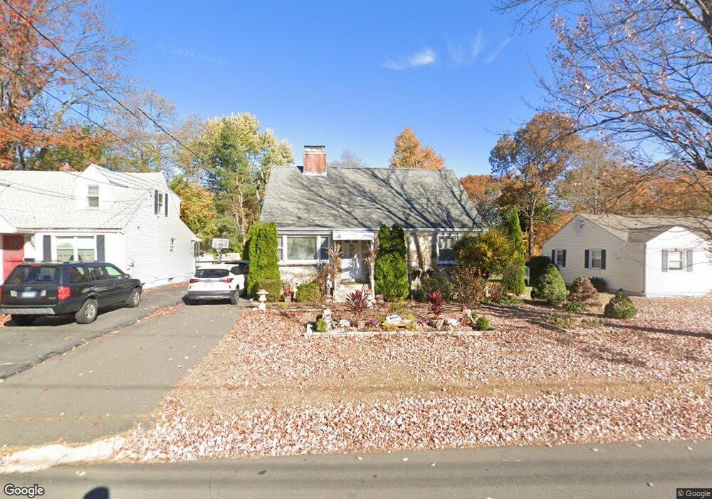
24 Carroll St New Britain, CT 06053
Estimated Value: $308,000 - $364,000
5
Beds
4
Baths
1,620
Sq Ft
$206/Sq Ft
Est. Value
About This Home
This home is located at 24 Carroll St, New Britain, CT 06053 and is currently estimated at $334,160, approximately $206 per square foot. 24 Carroll St is a home located in Hartford County with nearby schools including Holmes School, Pulaski Middle School, and Mountain Laurel Sudbury School.
Ownership History
Date
Name
Owned For
Owner Type
Purchase Details
Closed on
Feb 3, 1992
Sold by
Kaufman Todd
Bought by
Kubiszewski Ryszard and Kubiszewski Jolante
Current Estimated Value
Purchase Details
Closed on
Dec 18, 1987
Sold by
Nogiec Josephine A
Bought by
Mack Marshall
Create a Home Valuation Report for This Property
The Home Valuation Report is an in-depth analysis detailing your home's value as well as a comparison with similar homes in the area
Home Values in the Area
Average Home Value in this Area
Purchase History
| Date | Buyer | Sale Price | Title Company |
|---|---|---|---|
| Kubiszewski Ryszard | $87,500 | -- | |
| Mack Marshall | $172,900 | -- |
Source: Public Records
Mortgage History
| Date | Status | Borrower | Loan Amount |
|---|---|---|---|
| Open | Mack Marshall | $196,000 | |
| Closed | Mack Marshall | $49,000 | |
| Closed | Mack Marshall | $22,000 |
Source: Public Records
Tax History Compared to Growth
Tax History
| Year | Tax Paid | Tax Assessment Tax Assessment Total Assessment is a certain percentage of the fair market value that is determined by local assessors to be the total taxable value of land and additions on the property. | Land | Improvement |
|---|---|---|---|---|
| 2025 | $8,088 | $206,430 | $58,100 | $148,330 |
| 2024 | $8,173 | $206,430 | $58,100 | $148,330 |
| 2023 | $7,902 | $206,430 | $58,100 | $148,330 |
| 2022 | $7,041 | $142,240 | $26,810 | $115,430 |
| 2021 | $7,041 | $142,240 | $26,810 | $115,430 |
| 2020 | $7,183 | $142,240 | $26,810 | $115,430 |
| 2019 | $7,183 | $142,240 | $26,810 | $115,430 |
| 2018 | $7,183 | $142,240 | $26,810 | $115,430 |
| 2017 | $6,826 | $135,170 | $24,430 | $110,740 |
| 2016 | $6,826 | $135,170 | $24,430 | $110,740 |
| 2015 | $6,623 | $135,170 | $24,430 | $110,740 |
| 2014 | $6,623 | $135,170 | $24,430 | $110,740 |
Source: Public Records
Map
Nearby Homes
- 67 Eastwick Rd
- 83 Kim Dr
- 34 Hutchinson St
- 59 Heather Ln
- 410 Farmington Ave Unit O6
- 394 Mcclintock St
- 148 Governor St
- 152 Oakland Ave
- 258 Eddy Glover Blvd
- 108 Commonwealth Ave
- 234 Pierremount Ave
- 187 Miriam Rd
- 910 Farmington Ave
- 34 Oneida St
- 95 Pierremount Ave
- 335 Commonwealth Ave
- 57 Merigold Dr
- 874 Slater Rd
- 154 Allen St
- 55 Allen St
- 20 Carroll St
- 32 Carroll St
- 587 Farmington Ave
- 605 Farmington Ave
- 40 Carroll St
- 593 Farmington Ave
- 577 Farmington Ave
- 23 Carroll St
- 29 Carroll St
- 601 Farmington Ave
- 35 Carroll St
- 573 Farmington Ave
- 50 Carroll St
- 41 Carroll St
- 611 Farmington Ave
- 47 Carroll St
- 56 Carroll St
- 619 Farmington Ave
- 51 Carroll St
- 26 Blake Rd