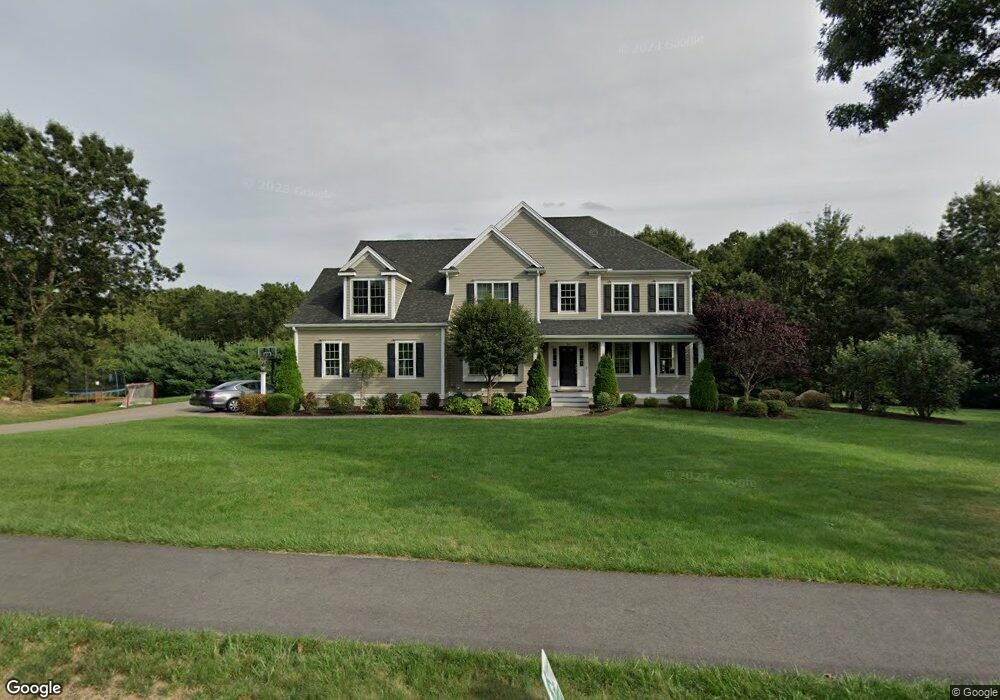
24 Castle Rd Norfolk, MA 02056
Estimated Value: $1,022,992 - $1,499,000
4
Beds
3
Baths
2,905
Sq Ft
$410/Sq Ft
Est. Value
About This Home
This home is located at 24 Castle Rd, Norfolk, MA 02056 and is currently estimated at $1,191,498, approximately $410 per square foot. 24 Castle Rd is a home located in Norfolk County with nearby schools including H. Olive Day School, Freeman-Kennedy School, and Woodside Montessori Academy.
Ownership History
Date
Name
Owned For
Owner Type
Purchase Details
Closed on
Jun 29, 2011
Sold by
Preserve Phase Iv Llc
Bought by
Poska Courtnry K and Poska Christopher
Current Estimated Value
Home Financials for this Owner
Home Financials are based on the most recent Mortgage that was taken out on this home.
Original Mortgage
$325,000
Outstanding Balance
$224,748
Interest Rate
4.62%
Mortgage Type
Purchase Money Mortgage
Estimated Equity
$966,750
Create a Home Valuation Report for This Property
The Home Valuation Report is an in-depth analysis detailing your home's value as well as a comparison with similar homes in the area
Home Values in the Area
Average Home Value in this Area
Purchase History
| Date | Buyer | Sale Price | Title Company |
|---|---|---|---|
| Poska Courtnry K | $717,935 | -- |
Source: Public Records
Mortgage History
| Date | Status | Borrower | Loan Amount |
|---|---|---|---|
| Open | Poska Courtnry K | $325,000 |
Source: Public Records
Tax History
| Year | Tax Paid | Tax Assessment Tax Assessment Total Assessment is a certain percentage of the fair market value that is determined by local assessors to be the total taxable value of land and additions on the property. | Land | Improvement |
|---|---|---|---|---|
| 2025 | $13,207 | $827,000 | $214,600 | $612,400 |
| 2024 | $12,398 | $796,300 | $224,600 | $571,700 |
| 2023 | $12,450 | $758,700 | $224,600 | $534,100 |
| 2022 | $13,332 | $732,500 | $211,400 | $521,100 |
| 2021 | $12,462 | $692,700 | $218,000 | $474,700 |
| 2020 | $13,244 | $710,500 | $219,100 | $491,400 |
| 2019 | $12,995 | $710,500 | $219,100 | $491,400 |
| 2018 | $13,414 | $720,400 | $229,000 | $491,400 |
| 2017 | $12,954 | $711,000 | $229,000 | $482,000 |
| 2016 | $12,394 | $685,500 | $243,900 | $441,600 |
| 2015 | $11,737 | $664,600 | $229,600 | $435,000 |
| 2014 | $11,661 | $669,000 | $229,600 | $439,400 |
Source: Public Records
Map
Nearby Homes
- 45 Meetinghouse Rd Unit 45
- 7 Keeney Pond Rd
- 16 Keeney Pond Rd
- 18 Keeney Pond Rd
- 3 Elliot Mills Unit 2
- 6 Elliot Mills Unit 31
- 33 Boydes Crossing Unit 33
- 33 Boydes Crossing
- 292 Main St
- 23 Fredrickson Rd
- 298 Main St
- 0 Toils End Rd
- 8 Ridgefield Rd
- 92 Seekonk St
- 19 Waites Crossing
- 13 Waites Crossing
- 11 Waites Crossing
- 22 Waites Crossing
- 0 W Birch Rd
- 12 Ariana Ln
- 5 Magnolia Cir
- 22 Castle Rd
- 27 Castle Rd
- 26 Castle Rd
- 1 Wild Holly Ln
- 2 Wild Holly Ln
- 29 Castle Rd
- 29 Castle Rd
- 25 Castle Rd
- Lot 3B Rosewood -New Construction
- Lot 1a Rosewood Cir
- Lot 3 Rosewood Cir
- Lot 1 Rosewood Cir
- 20 Castle Rd
- 28 Castle Rd
- 3 Wild Holly Ln
- 21 Castle Rd
- 34 Wrights Farm Rd
- 16 Wrights Farm Rd
- 12 Wright's Farm Rd
Your Personal Tour Guide
Ask me questions while you tour the home.