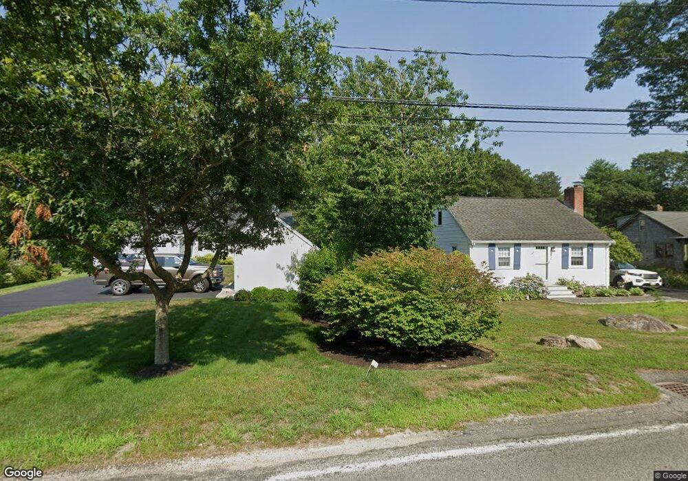
24 Central Blvd Bourne, MA 02532
Monument Beach NeighborhoodEstimated Value: $647,000 - $764,000
3
Beds
2
Baths
1,512
Sq Ft
$452/Sq Ft
Est. Value
About This Home
This home is located at 24 Central Blvd, Bourne, MA 02532 and is currently estimated at $683,808, approximately $452 per square foot. 24 Central Blvd is a home located in Barnstable County with nearby schools including Bourne High School, St Margaret Regional School, and Cadence Academy Preschool - Bourne.
Ownership History
Date
Name
Owned For
Owner Type
Purchase Details
Closed on
Jun 18, 2018
Sold by
Repurpose Properties L
Bought by
Borges Matthew E and Borges Rachel E
Current Estimated Value
Home Financials for this Owner
Home Financials are based on the most recent Mortgage that was taken out on this home.
Original Mortgage
$378,026
Outstanding Balance
$326,443
Interest Rate
4.62%
Mortgage Type
FHA
Estimated Equity
$357,365
Create a Home Valuation Report for This Property
The Home Valuation Report is an in-depth analysis detailing your home's value as well as a comparison with similar homes in the area
Home Values in the Area
Average Home Value in this Area
Purchase History
| Date | Buyer | Sale Price | Title Company |
|---|---|---|---|
| Borges Matthew E | $385,000 | -- |
Source: Public Records
Mortgage History
| Date | Status | Borrower | Loan Amount |
|---|---|---|---|
| Open | Borges Matthew E | $378,026 |
Source: Public Records
Tax History
| Year | Tax Paid | Tax Assessment Tax Assessment Total Assessment is a certain percentage of the fair market value that is determined by local assessors to be the total taxable value of land and additions on the property. | Land | Improvement |
|---|---|---|---|---|
| 2025 | $4,583 | $586,800 | $253,100 | $333,700 |
| 2024 | $4,508 | $562,100 | $241,100 | $321,000 |
| 2023 | $4,409 | $500,400 | $213,400 | $287,000 |
| 2022 | $4,226 | $418,800 | $188,800 | $230,000 |
| 2021 | $4,106 | $381,200 | $171,800 | $209,400 |
| 2020 | $3,980 | $370,600 | $170,200 | $200,400 |
| 2019 | $3,776 | $359,300 | $170,200 | $189,100 |
| 2018 | $2,981 | $282,800 | $162,100 | $120,700 |
| 2017 | -- | $208,100 | $160,600 | $47,500 |
| 2016 | -- | $206,100 | $160,600 | $45,500 |
Source: Public Records
Map
Nearby Homes
- 203 County Rd
- 35 Benedict Rd
- 13 Laurel Hill Ct
- 5 Zoli Ln
- 12 Turnberry Rd Unit 12
- 5 Sea Knoll Ct
- 16 Amberwood Ct
- 566 Shore Rd
- 4 Hollyhock Knoll Ct Unit 4
- 4 Hollyhock Knoll Ct Unit 4
- 1 Hollyhock Knoll Ct Unit 1
- 60 Bourne Neck Dr
- 4 Harbor Hill Dr
- 44 Cotuit Rd
- 20 Colony Ave
- 46 Holt Rd Unit B
- 46 Holt Rd
- 60 Sandwich Rd
- 10 Sandy Ln
- 40-A Lafayette Ave
Your Personal Tour Guide
Ask me questions while you tour the home.