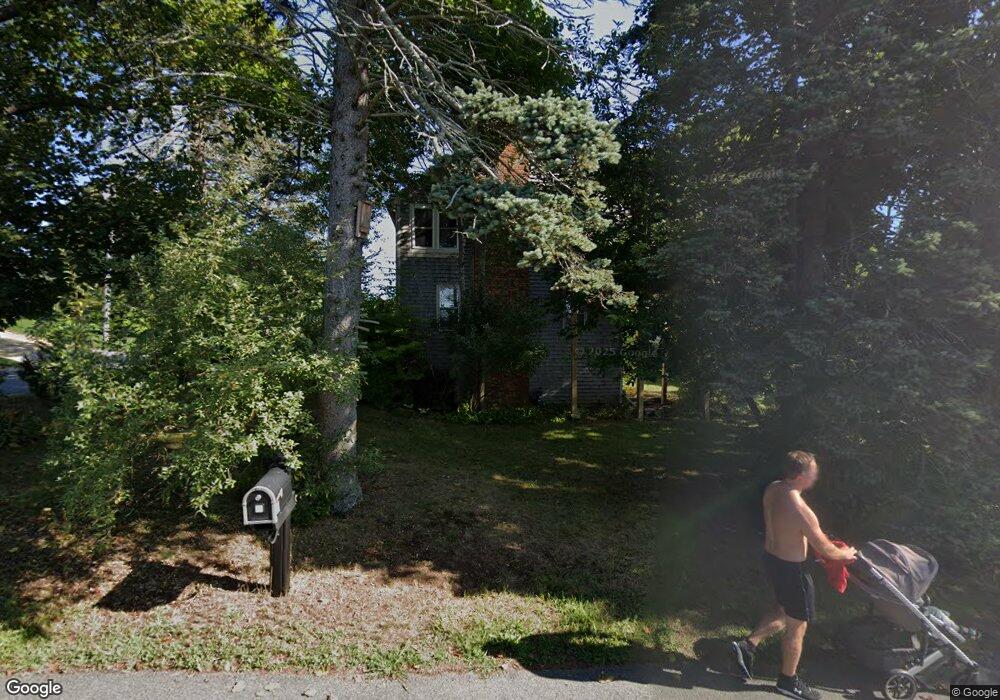
24 Cliff Ave Scituate, MA 02066
Estimated Value: $1,210,000 - $1,516,000
3
Beds
2
Baths
1,176
Sq Ft
$1,146/Sq Ft
Est. Value
About This Home
This home is located at 24 Cliff Ave, Scituate, MA 02066 and is currently estimated at $1,347,760, approximately $1,146 per square foot. 24 Cliff Ave is a home located in Plymouth County with nearby schools including Jenkins Elementary School, Lester J. Gates Middle School, and Scituate High School.
Ownership History
Date
Name
Owned For
Owner Type
Purchase Details
Closed on
Jan 31, 1997
Sold by
Durham Software Group
Bought by
Mcgillicuddy Andrew W
Current Estimated Value
Home Financials for this Owner
Home Financials are based on the most recent Mortgage that was taken out on this home.
Original Mortgage
$170,000
Outstanding Balance
$19,375
Interest Rate
7.65%
Mortgage Type
Purchase Money Mortgage
Estimated Equity
$1,328,385
Purchase Details
Closed on
Jun 14, 1993
Sold by
Morris Richard I
Bought by
Durham Software Group
Purchase Details
Closed on
Oct 20, 1992
Sold by
Morris Charles J
Bought by
Heartland Fs & L Assn
Create a Home Valuation Report for This Property
The Home Valuation Report is an in-depth analysis detailing your home's value as well as a comparison with similar homes in the area
Home Values in the Area
Average Home Value in this Area
Purchase History
| Date | Buyer | Sale Price | Title Company |
|---|---|---|---|
| Mcgillicuddy Andrew W | $240,000 | -- | |
| Durham Software Group | $166,000 | -- | |
| Heartland Fs & L Assn | $171,000 | -- |
Source: Public Records
Mortgage History
| Date | Status | Borrower | Loan Amount |
|---|---|---|---|
| Open | Heartland Fs & L Assn | $170,000 |
Source: Public Records
Tax History
| Year | Tax Paid | Tax Assessment Tax Assessment Total Assessment is a certain percentage of the fair market value that is determined by local assessors to be the total taxable value of land and additions on the property. | Land | Improvement |
|---|---|---|---|---|
| 2025 | $10,399 | $1,040,900 | $675,500 | $365,400 |
| 2024 | $10,638 | $1,026,800 | $650,200 | $376,600 |
| 2023 | $10,525 | $945,600 | $591,100 | $354,500 |
| 2022 | $10,003 | $792,600 | $495,300 | $297,300 |
| 2021 | $9,791 | $734,500 | $471,800 | $262,700 |
| 2020 | $9,547 | $707,200 | $453,600 | $253,600 |
| 2019 | $9,059 | $659,300 | $420,000 | $239,300 |
| 2018 | $8,963 | $642,500 | $427,500 | $215,000 |
| 2017 | $8,636 | $612,900 | $406,700 | $206,200 |
| 2016 | $8,519 | $602,500 | $396,300 | $206,200 |
| 2015 | $7,755 | $592,000 | $385,800 | $206,200 |
Source: Public Records
Map
Nearby Homes
- 2 Collier Rd
- 40 Driftway Unit 27
- 59 Greenfield Ln
- 55 Crescent Ave
- 50 First Parish Rd
- 91 Front St Unit 106
- 19 Ford Place Unit 1
- 19 Ford Place Unit 2
- 21 Jenkins Place
- 76 Macombers Way
- 25 Morton Place
- 23 Sunset Rd
- 55 Macombers Way
- 48 Neal Gate St
- 46 Tilden Rd
- 9 Cushing Park Rd
- 17 Old Oaken Bucket Rd
- 32 Carolyn Cir
- 32 Barker Rd Unit 3
- 38 Lauren Ln
Your Personal Tour Guide
Ask me questions while you tour the home.