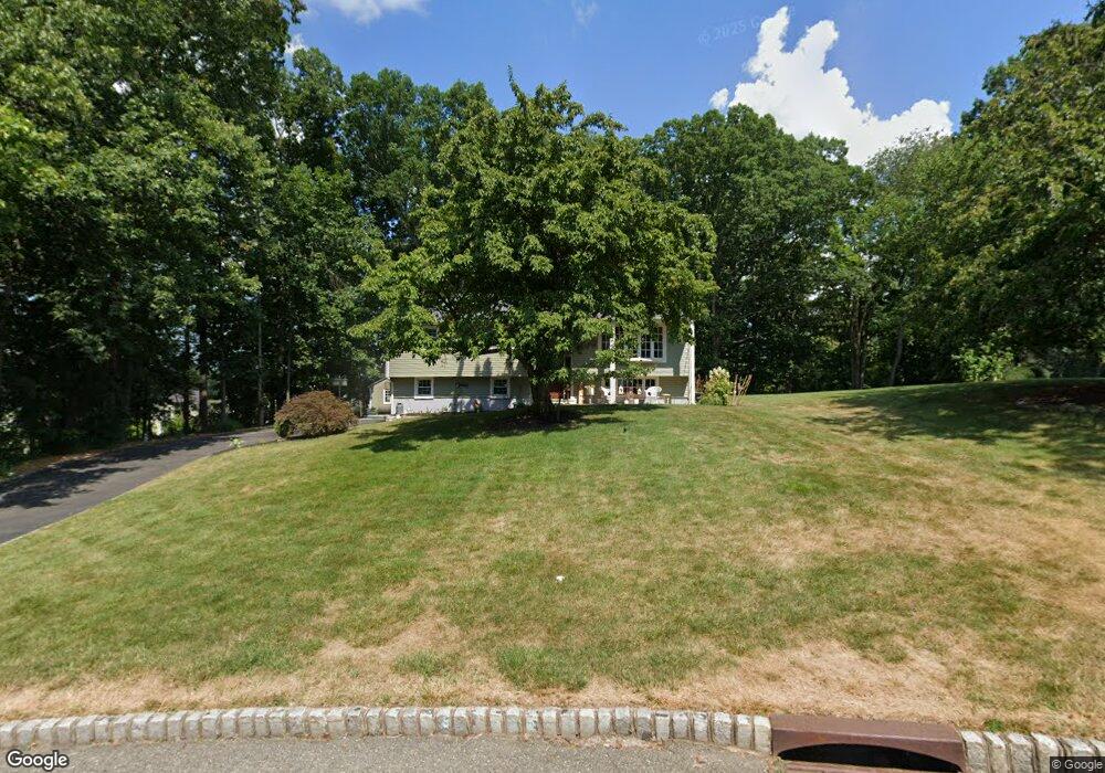
24 Cortright Rd Whippany, NJ 07981
Estimated Value: $672,485 - $859,000
Studio
--
Bath
1,928
Sq Ft
$401/Sq Ft
Est. Value
About This Home
This home is located at 24 Cortright Rd, Whippany, NJ 07981 and is currently estimated at $773,371, approximately $401 per square foot. 24 Cortright Rd is a home located in Morris County with nearby schools including Whippany Park High School, Arrow Academy, and The Morristown-Beard School.
Ownership History
Date
Name
Owned For
Owner Type
Purchase Details
Closed on
Apr 26, 1999
Sold by
Abate Salvatore P and Abate Bridget A
Bought by
Klein Robert L and Klein Maria C
Current Estimated Value
Home Financials for this Owner
Home Financials are based on the most recent Mortgage that was taken out on this home.
Original Mortgage
$28,100
Interest Rate
6.53%
Mortgage Type
Stand Alone Second
Create a Home Valuation Report for This Property
The Home Valuation Report is an in-depth analysis detailing your home's value as well as a comparison with similar homes in the area
Home Values in the Area
Average Home Value in this Area
Purchase History
| Date | Buyer | Sale Price | Title Company |
|---|---|---|---|
| Klein Robert L | $281,000 | -- |
Source: Public Records
Mortgage History
| Date | Status | Borrower | Loan Amount |
|---|---|---|---|
| Closed | Klein Robert L | $28,100 | |
| Open | Klein Robert L | $224,800 |
Source: Public Records
Tax History
| Year | Tax Paid | Tax Assessment Tax Assessment Total Assessment is a certain percentage of the fair market value that is determined by local assessors to be the total taxable value of land and additions on the property. | Land | Improvement |
|---|---|---|---|---|
| 2025 | $9,060 | $429,800 | $259,700 | $170,100 |
| 2024 | $9,022 | $429,800 | $259,700 | $170,100 |
| 2023 | $9,022 | $429,800 | $259,700 | $170,100 |
| 2022 | $8,252 | $429,800 | $259,700 | $170,100 |
| 2021 | $8,252 | $429,800 | $259,700 | $170,100 |
| 2020 | $8,106 | $429,800 | $259,700 | $170,100 |
| 2019 | $8,132 | $429,800 | $259,700 | $170,100 |
| 2018 | $7,990 | $429,800 | $259,700 | $170,100 |
| 2017 | $7,754 | $429,800 | $259,700 | $170,100 |
| 2016 | $7,642 | $429,800 | $259,700 | $170,100 |
| 2015 | $7,337 | $429,800 | $259,700 | $170,100 |
| 2014 | $7,178 | $429,800 | $259,700 | $170,100 |
Source: Public Records
Map
Nearby Homes
- 4 Forest Hill Ct
- 30 Polhemus Terrace
- 7 Manchester Dr
- 100 Louis St
- 100 Troy Hills Rd
- 115 Griffith Dr
- 00 Algonquin Pkwy
- 96 Parsippany Rd
- 25 Washington Ave
- 9 Nantes Rd
- 19 Trouville Dr
- 144 Preston Rd
- 140 Sunrise Dr
- 7 Madeleine Place
- 9 Cherbourg Rd
- 1 Glenbrook Ct
- 17 Iron Forge Rd
- 72 Schindler Ct
- 2903 Appleton Way Unit 2903
- 30 Reynolds Ave
Your Personal Tour Guide
Ask me questions while you tour the home.