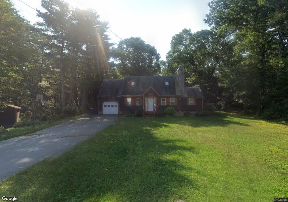
24 Crooked River Rd Wareham, MA 02571
Estimated Value: $469,000 - $619,000
3
Beds
2
Baths
1,296
Sq Ft
$412/Sq Ft
Est. Value
About This Home
This home is located at 24 Crooked River Rd, Wareham, MA 02571 and is currently estimated at $533,829, approximately $411 per square foot. 24 Crooked River Rd is a home located in Plymouth County.
Ownership History
Date
Name
Owned For
Owner Type
Purchase Details
Closed on
Feb 28, 1997
Sold by
Foresman Peter I
Bought by
Marriott Ralph W
Current Estimated Value
Home Financials for this Owner
Home Financials are based on the most recent Mortgage that was taken out on this home.
Original Mortgage
$100,000
Interest Rate
7.78%
Mortgage Type
Purchase Money Mortgage
Create a Home Valuation Report for This Property
The Home Valuation Report is an in-depth analysis detailing your home's value as well as a comparison with similar homes in the area
Purchase History
| Date | Buyer | Sale Price | Title Company |
|---|---|---|---|
| Marriott Ralph W | $137,500 | -- | |
| Marriott Ralph W | $137,500 | -- |
Source: Public Records
Mortgage History
| Date | Status | Borrower | Loan Amount |
|---|---|---|---|
| Open | Marriott Ralph W | $130,000 | |
| Closed | Marriott Ralph W | $125,000 | |
| Closed | Marriott Ralph W | $100,000 |
Source: Public Records
Tax History
| Year | Tax Paid | Tax Assessment Tax Assessment Total Assessment is a certain percentage of the fair market value that is determined by local assessors to be the total taxable value of land and additions on the property. | Land | Improvement |
|---|---|---|---|---|
| 2025 | $4,670 | $448,200 | $141,800 | $306,400 |
| 2024 | $4,843 | $431,300 | $113,800 | $317,500 |
| 2023 | $4,609 | $383,100 | $103,700 | $279,400 |
| 2022 | $4,272 | $324,100 | $103,700 | $220,400 |
| 2021 | $2,868 | $313,800 | $103,700 | $210,100 |
| 2020 | $4,023 | $303,400 | $103,700 | $199,700 |
| 2019 | $205 | $303,400 | $109,500 | $193,900 |
| 2018 | $0 | $275,300 | $109,500 | $165,800 |
| 2017 | $31,212 | $268,200 | $109,500 | $158,700 |
| 2016 | $3,557 | $262,900 | $114,700 | $148,200 |
| 2015 | $3,436 | $262,900 | $114,700 | $148,200 |
| 2014 | $3,213 | $250,000 | $114,700 | $135,300 |
Source: Public Records
Map
Nearby Homes
- 20 Crooked River Rd
- 15 Crooked River Rd
- 26 Crooked River Rd
- 19 Crooked River Rd
- 19 Crooked River Rd
- 28 Crooked River Rd
- 13 Crooked River Rd
- 21 Crooked River Rd
- 30 Crooked River Rd
- 14 Crooked River Rd
- 11 Crooked River Rd
- 17 Crooked River Rd
- 23 Crooked River Rd
- 32 Crooked River Rd
- 9 Crooked River Rd
- 25 Crooked River Rd
- 12 Crooked River Rd
- 7 Crooked River Rd
- 5 Crooked River Rd
- 8 Crooked River Rd