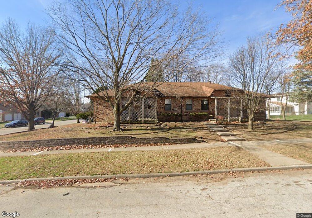
24 Devon Rd Bloomington, IL 61704
Estimated Value: $250,568 - $321,000
2
Beds
2
Baths
2,438
Sq Ft
$117/Sq Ft
Est. Value
About This Home
This home is located at 24 Devon Rd, Bloomington, IL 61704 and is currently estimated at $286,142, approximately $117 per square foot. 24 Devon Rd is a home located in McLean County with nearby schools including Oakland Elementary School, Bloomington Junior High School, and Bloomington High School.
Ownership History
Date
Name
Owned For
Owner Type
Purchase Details
Closed on
Jan 27, 2012
Sold by
Owen Virginia L
Bought by
Owen Virginia L and Owen Trefan Philip
Current Estimated Value
Purchase Details
Closed on
May 17, 2011
Sold by
Smith Lola V and Owen Virginia L
Bought by
Owen Virginia L
Home Financials for this Owner
Home Financials are based on the most recent Mortgage that was taken out on this home.
Original Mortgage
$91,000
Interest Rate
4.02%
Mortgage Type
New Conventional
Create a Home Valuation Report for This Property
The Home Valuation Report is an in-depth analysis detailing your home's value as well as a comparison with similar homes in the area
Purchase History
| Date | Buyer | Sale Price | Title Company |
|---|---|---|---|
| Owen Virginia L | -- | None Available | |
| Owen Virginia L | $75,000 | First Community Title |
Source: Public Records
Mortgage History
| Date | Status | Borrower | Loan Amount |
|---|---|---|---|
| Previous Owner | Owen Virginia L | $91,000 |
Source: Public Records
Tax History
| Year | Tax Paid | Tax Assessment Tax Assessment Total Assessment is a certain percentage of the fair market value that is determined by local assessors to be the total taxable value of land and additions on the property. | Land | Improvement |
|---|---|---|---|---|
| 2024 | $3,802 | $72,110 | $19,892 | $52,218 |
| 2022 | $3,802 | $55,736 | $15,375 | $40,361 |
| 2021 | $3,401 | $51,023 | $14,075 | $36,948 |
| 2020 | $3,392 | $51,023 | $14,075 | $36,948 |
| 2019 | $3,382 | $51,023 | $14,075 | $36,948 |
| 2018 | $3,368 | $51,023 | $14,075 | $36,948 |
| 2017 | $3,370 | $51,023 | $14,075 | $36,948 |
| 2016 | $3,364 | $51,023 | $14,075 | $36,948 |
| 2015 | $3,191 | $49,079 | $13,539 | $35,540 |
| 2014 | $3,090 | $49,079 | $13,539 | $35,540 |
| 2013 | -- | $49,079 | $13,539 | $35,540 |
Source: Public Records
Map
Nearby Homes
- 5 Devon Rd
- 1114 Andover St
- 3 Harvest Ct
- 317 Waterford Estates Dr
- 610 Old Farm Rd
- 20 Crystal Ct
- 1304 S Hershey Rd
- 2805 Coventry Ct
- 207 Hampton Dr
- 1509 Beckenham Dr
- 47 Stonebrook Ct
- 1307 Longford Ln
- 59 Stonebrook Ct
- 3610 Ballyford Dr
- 8 Rock Garden Ct Unit 1
- 2419 Maloney Dr
- 3514 Wilder Dr
- 19 Brookstone Cir
- 2306 Maysel St
- 23 Breckenwood Ct
Your Personal Tour Guide
Ask me questions while you tour the home.