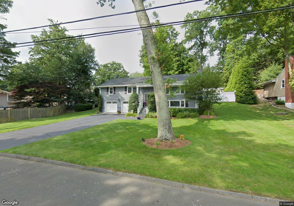
24 Dorset Rd Norwalk, CT 06851
Wolfpit NeighborhoodEstimated Value: $649,000 - $787,000
4
Beds
3
Baths
1,404
Sq Ft
$531/Sq Ft
Est. Value
About This Home
This home is located at 24 Dorset Rd, Norwalk, CT 06851 and is currently estimated at $745,000, approximately $530 per square foot. 24 Dorset Rd is a home located in Fairfield County with nearby schools including Wolfpit School, Nathan Hale Middle School, and Norwalk High School.
Ownership History
Date
Name
Owned For
Owner Type
Purchase Details
Closed on
Jan 11, 2010
Sold by
Moffett John M
Bought by
Moffett Thomas P and Granchelli Ann E
Current Estimated Value
Home Financials for this Owner
Home Financials are based on the most recent Mortgage that was taken out on this home.
Original Mortgage
$239,000
Interest Rate
4.78%
Create a Home Valuation Report for This Property
The Home Valuation Report is an in-depth analysis detailing your home's value as well as a comparison with similar homes in the area
Home Values in the Area
Average Home Value in this Area
Purchase History
| Date | Buyer | Sale Price | Title Company |
|---|---|---|---|
| Moffett Thomas P | $76,750 | -- | |
| Moffett Thomas P | $76,750 | -- | |
| Moffett Thomas P | $76,750 | -- |
Source: Public Records
Mortgage History
| Date | Status | Borrower | Loan Amount |
|---|---|---|---|
| Open | Moffett Thomas P | $230,000 | |
| Closed | Moffett Thomas P | $239,000 |
Source: Public Records
Tax History Compared to Growth
Tax History
| Year | Tax Paid | Tax Assessment Tax Assessment Total Assessment is a certain percentage of the fair market value that is determined by local assessors to be the total taxable value of land and additions on the property. | Land | Improvement |
|---|---|---|---|---|
| 2025 | $9,877 | $412,460 | $182,050 | $230,410 |
| 2024 | $9,730 | $412,460 | $182,050 | $230,410 |
| 2023 | $8,352 | $331,930 | $145,110 | $186,820 |
| 2022 | $8,196 | $331,930 | $145,110 | $186,820 |
| 2021 | $7,984 | $331,930 | $145,110 | $186,820 |
| 2020 | $7,979 | $331,930 | $145,110 | $186,820 |
| 2019 | $7,755 | $331,930 | $145,110 | $186,820 |
| 2018 | $7,503 | $281,430 | $156,670 | $124,760 |
| 2017 | $7,246 | $281,430 | $156,670 | $124,760 |
| 2016 | $7,176 | $281,430 | $156,670 | $124,760 |
| 2015 | $7,157 | $281,430 | $156,670 | $124,760 |
| 2014 | $7,064 | $281,430 | $156,670 | $124,760 |
Source: Public Records
Map
Nearby Homes
- 9 Trailside Dr
- 4 Frank St
- 7 Peaceful Ln
- 8 Stonecrop Rd
- 30 Honeysuckle Dr
- 2 Wildgoose Ln
- 13 Orchard Hill Rd
- 142 Wolfpit Ave
- 33 Assisi Way
- 9 Allen Ct
- 101 Chestnut Hill Rd
- 33 Pequot Trail
- 27 Stonecrop Rd
- 38 Saddle Rd
- 11 Mark Dr
- 3 Tanglewood Ln
- 100 Wolfpit Ave Unit 2
- 100 Wolfpit Ave Unit 17
- 180 E Rocks Rd
- 65 Wolfpit Ave Unit 5C