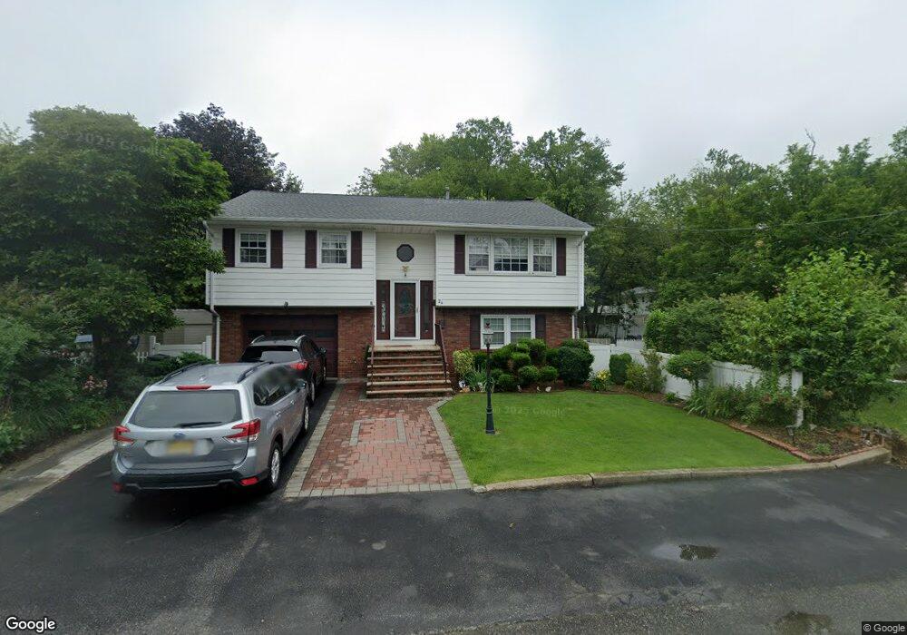
24 Dupont Ave Haskell, NJ 07420
Estimated Value: $500,631 - $597,000
--
Bed
--
Bath
2,048
Sq Ft
$263/Sq Ft
Est. Value
About This Home
This home is located at 24 Dupont Ave, Haskell, NJ 07420 and is currently estimated at $538,658, approximately $263 per square foot. 24 Dupont Ave is a home located in Passaic County with nearby schools including Lakeland Reg High School and St Marys School.
Ownership History
Date
Name
Owned For
Owner Type
Purchase Details
Closed on
Apr 26, 2001
Sold by
Bucia Jesyna
Bought by
Codilla Jacob and Bucia Marietta
Current Estimated Value
Purchase Details
Closed on
Sep 15, 1993
Sold by
Bennies Pete
Bought by
Codlla Jacob
Home Financials for this Owner
Home Financials are based on the most recent Mortgage that was taken out on this home.
Original Mortgage
$140,000
Interest Rate
6.73%
Create a Home Valuation Report for This Property
The Home Valuation Report is an in-depth analysis detailing your home's value as well as a comparison with similar homes in the area
Home Values in the Area
Average Home Value in this Area
Purchase History
| Date | Buyer | Sale Price | Title Company |
|---|---|---|---|
| Codilla Jacob | $40,000 | -- | |
| Codilla Jacob | $40,000 | -- | |
| Codlla Jacob | $160,000 | -- |
Source: Public Records
Mortgage History
| Date | Status | Borrower | Loan Amount |
|---|---|---|---|
| Previous Owner | Codlla Jacob | $140,000 |
Source: Public Records
Tax History Compared to Growth
Tax History
| Year | Tax Paid | Tax Assessment Tax Assessment Total Assessment is a certain percentage of the fair market value that is determined by local assessors to be the total taxable value of land and additions on the property. | Land | Improvement |
|---|---|---|---|---|
| 2025 | $9,860 | $228,600 | $79,600 | $149,000 |
| 2024 | $9,663 | $228,600 | $79,600 | $149,000 |
| 2022 | $9,459 | $228,600 | $79,600 | $149,000 |
| 2021 | $9,254 | $228,600 | $79,600 | $149,000 |
| 2020 | $9,151 | $228,600 | $79,600 | $149,000 |
| 2019 | $8,931 | $228,600 | $79,600 | $149,000 |
| 2018 | $8,755 | $228,600 | $79,600 | $149,000 |
| 2017 | $8,550 | $228,600 | $79,600 | $149,000 |
| 2016 | $8,339 | $228,600 | $79,600 | $149,000 |
| 2015 | $8,220 | $228,600 | $79,600 | $149,000 |
| 2014 | $8,058 | $228,600 | $79,600 | $149,000 |
Source: Public Records
Map
Nearby Homes
- 21 Bartholdi Ave
- 24 Roseland Ave
- 5 Storms Place
- 1025 Ringwood Ave
- 19 Skyland Ave
- 17 Locust St
- 3 Elm St
- 35 Smith Ave
- 6 Elston Ct
- 72 Burnside Place
- 28 Elston Ct
- 43 Elston Ct Unit 301
- 23 Dogwood Ln
- 19 Dogwood Ln Unit 19
- 19 Dogwood Ln Unit U9F
- 12 Franklin Place
- 748 Ringwood Ave
- 9116 Warrens Way Unit 116
- 9116 Warrens Way
- 10203 Warrens Way Unit 203
- 26 Dupont Ave
- 20 Dupont Ave
- 23 Dupont Ave
- 28 Dupont Ave
- 21 Dupont Ave
- 16 Dupont Ave
- 25 Dupont Ave
- 19 Dupont Ave
- 15 Dupont Ave Unit 17
- 33 Dupont Ave Unit 35
- 12 Dupont Ave
- 28 Makemoney Ave
- 26 Makemoney Ave
- 22 Makemoney Ave
- 24 Makemoney Ave
- 35 Dupont Ave Unit 35
- 13 Dupont Ave
- 13 Dupont Ave Unit 2
- 14 Makemoney Ave
- 37 Dupont Ave Unit 39