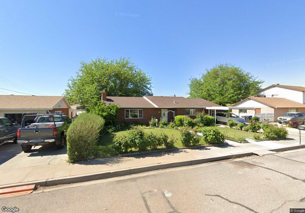
24 E 700 S Saint George, UT 84770
Estimated Value: $474,924 - $578,000
5
Beds
3
Baths
2,805
Sq Ft
$187/Sq Ft
Est. Value
About This Home
This home is located at 24 E 700 S, Saint George, UT 84770 and is currently estimated at $525,731, approximately $187 per square foot. 24 E 700 S is a home located in Washington County with nearby schools including Legacy School, Dixie Middle School, and Dixie Intermediate School.
Ownership History
Date
Name
Owned For
Owner Type
Purchase Details
Closed on
Jan 30, 2006
Sold by
Cardwell Verda M
Bought by
Cardwell Verda M and The Verda M Cardwell Trust
Current Estimated Value
Purchase Details
Closed on
Nov 4, 2005
Sold by
Mockaitis Peter J
Bought by
Cardwell Verda M
Home Financials for this Owner
Home Financials are based on the most recent Mortgage that was taken out on this home.
Original Mortgage
$66,150
Interest Rate
5.93%
Mortgage Type
New Conventional
Create a Home Valuation Report for This Property
The Home Valuation Report is an in-depth analysis detailing your home's value as well as a comparison with similar homes in the area
Home Values in the Area
Average Home Value in this Area
Purchase History
| Date | Buyer | Sale Price | Title Company |
|---|---|---|---|
| Cardwell Verda M | -- | None Available | |
| Cardwell Verda M | -- | Guardian Title Co |
Source: Public Records
Mortgage History
| Date | Status | Borrower | Loan Amount |
|---|---|---|---|
| Previous Owner | Cardwell Verda M | $66,150 |
Source: Public Records
Tax History Compared to Growth
Tax History
| Year | Tax Paid | Tax Assessment Tax Assessment Total Assessment is a certain percentage of the fair market value that is determined by local assessors to be the total taxable value of land and additions on the property. | Land | Improvement |
|---|---|---|---|---|
| 2025 | $1,576 | $247,720 | $66,000 | $181,720 |
| 2023 | $2,004 | $299,475 | $44,000 | $255,475 |
| 2022 | $2,094 | $294,250 | $38,500 | $255,750 |
| 2021 | $1,657 | $347,200 | $65,000 | $282,200 |
| 2020 | $1,398 | $275,800 | $50,000 | $225,800 |
| 2019 | $1,391 | $268,100 | $50,000 | $218,100 |
| 2018 | $1,281 | $123,805 | $0 | $0 |
| 2017 | $1,329 | $128,480 | $0 | $0 |
| 2016 | $1,397 | $124,850 | $0 | $0 |
| 2015 | -- | $123,640 | $0 | $0 |
| 2014 | -- | $115,830 | $0 | $0 |
Source: Public Records
Map
Nearby Homes
- 55 E 700 S Unit 8
- 524 S 200 E Unit 3
- 544 S 100 W Unit 3
- 454 S 100 E Unit 10
- 800 W Bluff St S
- 433 S 100 E
- 55 W 400 S Unit 15
- 840 S 400 E Unit 45
- 840 S 400 E Unit 69
- 840 S 400 E Unit 58
- 840 S 400 E Unit 69
- 777 S 400 E Unit 45
- 443 E 700 S
- 345 S 200 W Unit 3
- 295 S Main St
- 155 W 300 S Unit 9
- 161 W 950 S Unit E1
- 161 W 950 S Unit W2
- 379 S 300 W
- 377 S 300 W