24 E Raker Rd Roaring Branch, PA 17765
Estimated Value: $259,000 - $449,257
3
Beds
2
Baths
2,116
Sq Ft
$177/Sq Ft
Est. Value
About This Home
This home is located at 24 E Raker Rd, Roaring Branch, PA 17765 and is currently estimated at $375,419, approximately $177 per square foot. 24 E Raker Rd is a home located in Tioga County with nearby schools including Liberty Elementary School and North Penn-Liberty Jr./Sr. High School.
Ownership History
Date
Name
Owned For
Owner Type
Purchase Details
Closed on
May 4, 2012
Sold by
Thompson Carrie A and Thompson David M
Bought by
Thompson Carrie A
Current Estimated Value
Purchase Details
Closed on
Feb 20, 2009
Sold by
Thompson Carrie A and Thompson David M
Bought by
Thompson Carrie A and Thompson David M
Home Financials for this Owner
Home Financials are based on the most recent Mortgage that was taken out on this home.
Original Mortgage
$173,500
Interest Rate
5%
Mortgage Type
New Conventional
Create a Home Valuation Report for This Property
The Home Valuation Report is an in-depth analysis detailing your home's value as well as a comparison with similar homes in the area
Home Values in the Area
Average Home Value in this Area
Purchase History
| Date | Buyer | Sale Price | Title Company |
|---|---|---|---|
| Thompson Carrie A | -- | None Available | |
| Thompson Carrie A | -- | None Available |
Source: Public Records
Mortgage History
| Date | Status | Borrower | Loan Amount |
|---|---|---|---|
| Closed | Thompson Carrie A | $173,500 |
Source: Public Records
Tax History Compared to Growth
Tax History
| Year | Tax Paid | Tax Assessment Tax Assessment Total Assessment is a certain percentage of the fair market value that is determined by local assessors to be the total taxable value of land and additions on the property. | Land | Improvement |
|---|---|---|---|---|
| 2025 | $4,441 | $316,410 | $25,800 | $290,610 |
| 2024 | $7,080 | $316,410 | $25,800 | $290,610 |
| 2023 | $3,894 | $151,030 | $15,530 | $135,500 |
| 2022 | $3,842 | $151,030 | $15,530 | $135,500 |
| 2021 | $3,788 | $151,030 | $15,530 | $135,500 |
| 2020 | $3,762 | $151,030 | $15,530 | $135,500 |
| 2019 | $3,741 | $151,030 | $15,530 | $135,500 |
| 2018 | $3,664 | $151,030 | $15,530 | $135,500 |
| 2017 | -- | $151,030 | $15,530 | $135,500 |
| 2016 | $3,551 | $152,010 | $16,510 | $135,500 |
| 2015 | -- | $151,030 | $15,530 | $135,500 |
| 2014 | -- | $151,030 | $15,530 | $135,500 |
Source: Public Records
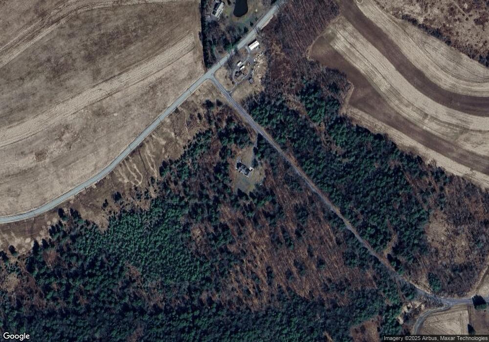
Map
Nearby Homes
- 828 Bloss Mountain Rd
- 4489 Williamson Trail
- 47 E Hill St
- 1177 Bloss Mountain Rd
- 8065 Route 414
- 2218 Mountain Top Rd
- 565 Brion Hill Rd
- 13183 State Route 414
- 68 Charles St
- 5407 Route 14
- 238 S Williamson Rd
- 265 Gulick St
- 206 Walnut St
- 221 S Williamson Rd
- 13632 Route 414
- 118 Main St
- 120 Morris St
- 108 Mcintyre St
- 154 Main St
- 159 Davis St