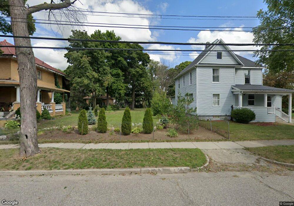
24 Edison St Pontiac, MI 48342
Estimated Value: $78,000 - $97,000
--
Bed
1
Bath
--
Sq Ft
6,490
Sq Ft Lot
About This Home
This home is located at 24 Edison St, Pontiac, MI 48342 and is currently estimated at $87,333. 24 Edison St is a home located in Oakland County with nearby schools including Walt Whitman Elementary School, Pontiac Middle School, and Pontiac High School.
Ownership History
Date
Name
Owned For
Owner Type
Purchase Details
Closed on
Jan 6, 2012
Sold by
Meisner Andrew E
Bought by
Thomas Lori
Current Estimated Value
Purchase Details
Closed on
Jul 28, 2004
Sold by
Osornio Rodolfo Aranda and Aranda Marie D
Bought by
Aranda Rodolfo O
Home Financials for this Owner
Home Financials are based on the most recent Mortgage that was taken out on this home.
Original Mortgage
$64,000
Interest Rate
8.69%
Mortgage Type
New Conventional
Purchase Details
Closed on
Aug 31, 2000
Sold by
Gonzales Magdalena
Bought by
Osornio Rodolfo A
Create a Home Valuation Report for This Property
The Home Valuation Report is an in-depth analysis detailing your home's value as well as a comparison with similar homes in the area
Home Values in the Area
Average Home Value in this Area
Purchase History
| Date | Buyer | Sale Price | Title Company |
|---|---|---|---|
| Thomas Lori | $250 | None Available | |
| Aranda Rodolfo O | -- | First Michigan Title Inc | |
| Osornio Rodolfo A | -- | -- |
Source: Public Records
Mortgage History
| Date | Status | Borrower | Loan Amount |
|---|---|---|---|
| Previous Owner | Aranda Rodolfo O | $64,000 |
Source: Public Records
Tax History Compared to Growth
Tax History
| Year | Tax Paid | Tax Assessment Tax Assessment Total Assessment is a certain percentage of the fair market value that is determined by local assessors to be the total taxable value of land and additions on the property. | Land | Improvement |
|---|---|---|---|---|
| 2024 | $87 | $2,380 | $0 | $0 |
| 2023 | $83 | $2,160 | $0 | $0 |
| 2022 | $81 | $1,960 | $0 | $0 |
| 2021 | $78 | $1,530 | $0 | $0 |
| 2020 | $77 | $1,400 | $0 | $0 |
| 2019 | $79 | $1,400 | $0 | $0 |
| 2018 | $80 | $1,400 | $0 | $0 |
| 2017 | $78 | $1,400 | $0 | $0 |
| 2016 | $86 | $1,550 | $0 | $0 |
| 2015 | -- | $1,550 | $0 | $0 |
| 2014 | -- | $1,550 | $0 | $0 |
| 2011 | -- | $17,750 | $0 | $0 |
Source: Public Records
Map
Nearby Homes
- 352 N Perry St
- 11 Lexington Place
- 36 Clairmont Place
- 388 N Perry St
- 25 Elwood St
- 431 Perry St
- 124 Kemp St
- 421 N Paddock St
- 217 Edison St
- 0 Baldwin Rd Unit 20251027987
- 0 Baldwin Ave Unit 20240055811
- 59 Forest St
- 52 Whitfield St
- 73 Poplar Ave
- 130 Baldwin Ave
- 272 Cesar e Chavez Ave
- 48 Florence St
- 72 Norton St
- 320 Cesar e Chavez Ave
- 123 Adelaide St
- 16 Edison St
- 28 Edison St
- 307 N Perry St
- 14 Edison St
- 12 Edison St
- 76 Mathews St
- 40 Edison St
- 293 N Perry St
- 97 Fairgrove St
- 295 N Perry St
- 289 N Perry St
- 305 Oakland Ln
- 311 N Perry St
- 44 Edison St
- 75 Mathews St
- 77 Fairgrove St
- 68 Mathews St
- 317 N Perry St
- 73 Fairgrove St Unit Bldg-Unit
- 73 Fairgrove St