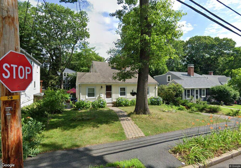
24 Elinor Rd Newton Highlands, MA 02461
Newton Highlands NeighborhoodEstimated Value: $860,260 - $920,000
3
Beds
1
Bath
925
Sq Ft
$963/Sq Ft
Est. Value
About This Home
This home is located at 24 Elinor Rd, Newton Highlands, MA 02461 and is currently estimated at $890,315, approximately $962 per square foot. 24 Elinor Rd is a home located in Middlesex County with nearby schools including Countryside Elementary School, Charles E Brown Middle School, and Newton South High School.
Ownership History
Date
Name
Owned For
Owner Type
Purchase Details
Closed on
Oct 9, 1998
Sold by
Camann Helen G
Bought by
Mirzabekov Tajib A and Mirzabekov Ludmila A
Current Estimated Value
Home Financials for this Owner
Home Financials are based on the most recent Mortgage that was taken out on this home.
Original Mortgage
$180,000
Outstanding Balance
$39,477
Interest Rate
6.92%
Mortgage Type
Purchase Money Mortgage
Estimated Equity
$850,838
Create a Home Valuation Report for This Property
The Home Valuation Report is an in-depth analysis detailing your home's value as well as a comparison with similar homes in the area
Home Values in the Area
Average Home Value in this Area
Purchase History
| Date | Buyer | Sale Price | Title Company |
|---|---|---|---|
| Mirzabekov Tajib A | $225,000 | -- | |
| Mirzabekov Tajib A | $225,000 | -- |
Source: Public Records
Mortgage History
| Date | Status | Borrower | Loan Amount |
|---|---|---|---|
| Open | Mirzabekov Tajib A | $12,000 | |
| Open | Mirzabekov Tajib A | $180,000 | |
| Closed | Mirzabekov Tajib A | $180,000 |
Source: Public Records
Tax History Compared to Growth
Tax History
| Year | Tax Paid | Tax Assessment Tax Assessment Total Assessment is a certain percentage of the fair market value that is determined by local assessors to be the total taxable value of land and additions on the property. | Land | Improvement |
|---|---|---|---|---|
| 2025 | $6,442 | $657,300 | $0 | $0 |
| 2024 | $6,229 | $0 | $0 | $0 |
| 2023 | $5,864 | $576,000 | $0 | $0 |
| 2022 | $5,610 | $533,300 | $533,300 | $0 |
| 2021 | $5,413 | $503,100 | $503,100 | $0 |
| 2020 | $5,252 | $503,100 | $503,100 | $0 |
| 2019 | $5,104 | $488,400 | $0 | $0 |
| 2018 | $4,824 | $445,800 | $0 | $0 |
| 2017 | $4,677 | $420,600 | $0 | $0 |
| 2016 | $4,473 | $393,100 | $0 | $0 |
| 2015 | $4,266 | $367,400 | $367,400 | $0 |
Source: Public Records
Map
Nearby Homes
- 250 Woodcliff Rd
- 151 Woodcliff Rd
- 36 Cannon St
- 1308 Walnut St
- 87 Parker Ave
- 125 Oakdale Rd
- 19 Selwyn Rd
- 24 Parker Ave
- 673 Boylston St
- 671 Boylston St Unit 671
- 671 Boylston St
- 116 Upland Ave
- 628 Boylston St
- 56 Cloverdale Rd
- 46 Roosevelt Rd
- 230 Upland Ave
- 21 Philbrick Rd
- 625 Boylston St
- 42 Sunhill Ln
- 45 Brandeis Rd
- 216 Woodcliff Rd
- 28 Elinor Rd
- 32 Elinor Rd
- 210 Woodcliff Rd
- 66 Alexander Rd
- 23 Elinor Rd
- 62 Alexander Rd
- 36 Elinor Rd
- 10 Elinor Rd
- 207 Woodcliff Rd
- 11 Elinor Rd
- 33 Elinor Rd
- 228 Woodcliff Rd
- 203 Woodcliff Rd
- 58 Alexander Rd
- 42 Elinor Rd
- 199 Woodcliff Rd
- 198 Woodcliff Rd
- 1388 Walnut St
- 229 Woodcliff Rd