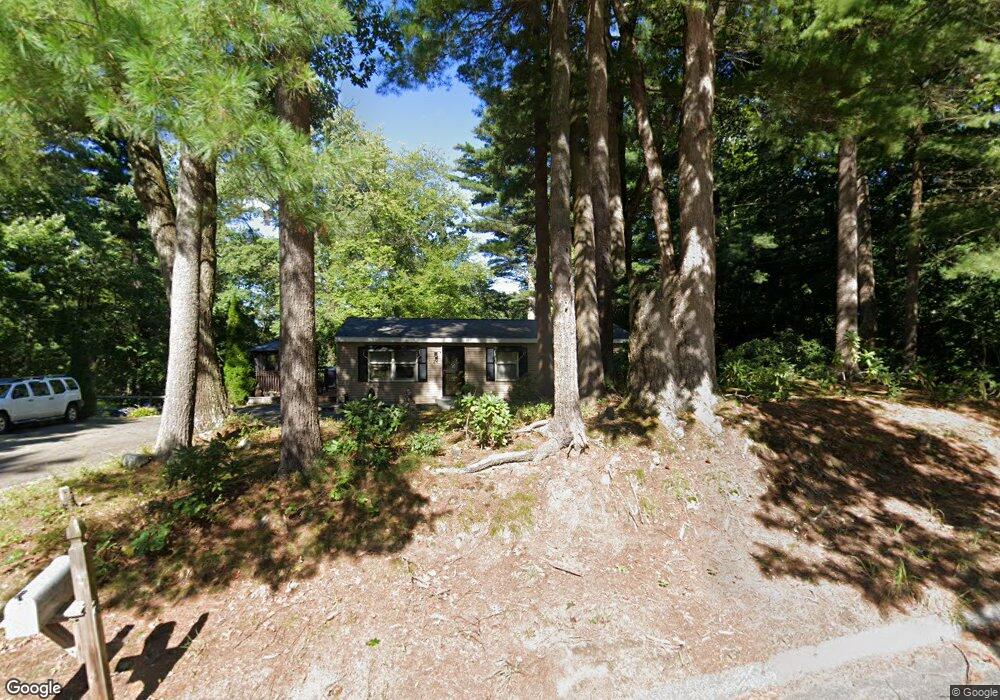
24 Flynt St Palmer, MA 01069
Estimated Value: $279,000 - $310,000
3
Beds
1
Bath
1,008
Sq Ft
$290/Sq Ft
Est. Value
About This Home
This home is located at 24 Flynt St, Palmer, MA 01069 and is currently estimated at $291,888, approximately $289 per square foot. 24 Flynt St is a home located in Hampden County with nearby schools including Old Mill Pond Elementary School, Converse Middle School, and Palmer High School.
Ownership History
Date
Name
Owned For
Owner Type
Purchase Details
Closed on
May 19, 1998
Sold by
Smart Marion R and Straight Carlos H
Bought by
Belinger Jeffrey H and Belinger Darlene M
Current Estimated Value
Home Financials for this Owner
Home Financials are based on the most recent Mortgage that was taken out on this home.
Original Mortgage
$59,900
Outstanding Balance
$11,684
Interest Rate
7.08%
Mortgage Type
Purchase Money Mortgage
Estimated Equity
$280,204
Create a Home Valuation Report for This Property
The Home Valuation Report is an in-depth analysis detailing your home's value as well as a comparison with similar homes in the area
Home Values in the Area
Average Home Value in this Area
Purchase History
| Date | Buyer | Sale Price | Title Company |
|---|---|---|---|
| Belinger Jeffrey H | $84,900 | -- |
Source: Public Records
Mortgage History
| Date | Status | Borrower | Loan Amount |
|---|---|---|---|
| Open | Belinger Jeffrey H | $59,900 | |
| Previous Owner | Belinger Jeffrey H | $20,000 |
Source: Public Records
Tax History
| Year | Tax Paid | Tax Assessment Tax Assessment Total Assessment is a certain percentage of the fair market value that is determined by local assessors to be the total taxable value of land and additions on the property. | Land | Improvement |
|---|---|---|---|---|
| 2025 | $3,997 | $220,200 | $67,300 | $152,900 |
| 2024 | $3,786 | $199,600 | $61,200 | $138,400 |
| 2023 | $3,759 | $187,400 | $61,200 | $126,200 |
| 2022 | $3,562 | $160,100 | $53,700 | $106,400 |
| 2021 | $3,522 | $149,100 | $59,800 | $89,300 |
| 2020 | $3,209 | $144,100 | $59,800 | $84,300 |
| 2019 | $2,409 | $144,100 | $59,800 | $84,300 |
| 2018 | $3,300 | $139,900 | $58,100 | $81,800 |
| 2017 | $1,871 | $139,900 | $58,100 | $81,800 |
| 2016 | $3,031 | $135,900 | $56,400 | $79,500 |
| 2015 | $2,933 | $135,600 | $56,400 | $79,200 |
Source: Public Records
Map
Nearby Homes
- 0 Old Warren Rd
- 101 Ware St
- 248 Ware St
- Lot 34 Old Warren Rd
- Lot 14 Center St
- 405 Shearer St
- Lot 8 Breckenridge St
- 7,37,38 Thorndike and Lawrence St
- 0 St Unit 73414881
- 34 Commercial St
- Lots 39-42 Lawrence
- 62-91 Lawrence St
- 32 Country Ln
- 593 Old Warren Rd
- 599-607 Old Warren Rd
- 70 Summer St
- 135 Thompson St
- 1711-1723 Ware St
- 69 E Palmer Park Dr
- 22 Pine View
Your Personal Tour Guide
Ask me questions while you tour the home.