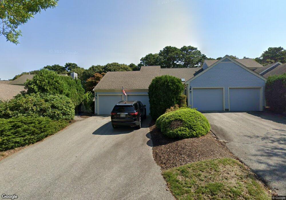
24 Forest Gate Yarmouth Port, MA 02675
Yarmouth Port NeighborhoodEstimated Value: $650,000 - $755,000
2
Beds
4
Baths
1,609
Sq Ft
$434/Sq Ft
Est. Value
About This Home
This home is located at 24 Forest Gate, Yarmouth Port, MA 02675 and is currently estimated at $697,765, approximately $433 per square foot. 24 Forest Gate is a home located in Barnstable County with nearby schools including Dennis-Yarmouth Regional High School.
Ownership History
Date
Name
Owned For
Owner Type
Purchase Details
Closed on
Apr 23, 2024
Sold by
Nedley Andrea L
Bought by
Fairway Ret and Nedley
Current Estimated Value
Purchase Details
Closed on
Feb 24, 1995
Sold by
Kings Way Prop Rt and Kurson
Bought by
Nedley Arthur V and Nedley Andrea L
Home Financials for this Owner
Home Financials are based on the most recent Mortgage that was taken out on this home.
Original Mortgage
$100,000
Interest Rate
9.17%
Mortgage Type
Purchase Money Mortgage
Create a Home Valuation Report for This Property
The Home Valuation Report is an in-depth analysis detailing your home's value as well as a comparison with similar homes in the area
Home Values in the Area
Average Home Value in this Area
Purchase History
| Date | Buyer | Sale Price | Title Company |
|---|---|---|---|
| Fairway Ret | -- | None Available | |
| Fairway Ret | -- | None Available | |
| Nedley Arthur V | $216,000 | -- | |
| Nedley Arthur V | $216,000 | -- |
Source: Public Records
Mortgage History
| Date | Status | Borrower | Loan Amount |
|---|---|---|---|
| Previous Owner | Nedley Arthur V | $100,000 |
Source: Public Records
Tax History Compared to Growth
Tax History
| Year | Tax Paid | Tax Assessment Tax Assessment Total Assessment is a certain percentage of the fair market value that is determined by local assessors to be the total taxable value of land and additions on the property. | Land | Improvement |
|---|---|---|---|---|
| 2025 | $4,749 | $670,700 | $0 | $670,700 |
| 2024 | $4,607 | $624,200 | $0 | $624,200 |
| 2023 | $4,578 | $564,500 | $0 | $564,500 |
| 2022 | $4,651 | $506,600 | $0 | $506,600 |
| 2021 | $4,319 | $451,800 | $0 | $451,800 |
| 2020 | $4,360 | $436,000 | $0 | $436,000 |
| 2019 | $4,092 | $405,100 | $0 | $405,100 |
| 2018 | $4,168 | $405,100 | $0 | $405,100 |
| 2017 | $3,749 | $374,200 | $0 | $374,200 |
| 2016 | $3,580 | $358,700 | $0 | $358,700 |
| 2015 | $3,578 | $356,400 | $0 | $356,400 |
Source: Public Records
Map
Nearby Homes
- 7 Forest Gate Unit 7
- 30 W Woods
- 30 W Woods Cir Unit 30
- 228 Kates Path
- 17 Kates Path Unit A
- 2 Pine Grove
- 25 Oak Glen Village Unit 25
- 25 Oak Glen
- 34 Kates Path
- 34 Kates Path Unit 34
- 50 John Hall Cartway
- 50 John Hall Cartway Unit 50
- 64 Kates Path
- 42 John Hall Cartway Unit 42
- 43 Canterbury Rd
- 44 Stratford Ln
- 86 Pompano Rd
- 51 Bray Farm Rd N
- 1 Barnacle Rd
- 6 Nimble Hill Dr
- 22 Forest Gate
- 20 Forest Gate
- 22 Forest Gate Unit 22
- 18 Forest Gate
- 16 Forest Gate
- 14 Forest Gate
- 18 Forest Gate Unit 18
- 16 Forest Gate Unit 16
- 18 Forest Gate Unit D
- 16 Forest Gate Unit G
- 30 Forest Gate
- 28 Forest Gate
- 26 Forest Gate
- 26 Forest Gate Unit 26
- 26 Forest Gate Unit H
- 30 Forest Gate Unit I
- 34 Forest Gate
- 32 Forest Gate
- 34 Forest Gate Unit 34
- 34 Forest Gate Unit H