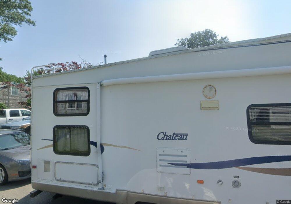
24 Grove St Fairhaven, MA 02719
Pope Beach NeighborhoodEstimated Value: $503,000 - $625,000
3
Beds
1
Bath
1,934
Sq Ft
$283/Sq Ft
Est. Value
About This Home
This home is located at 24 Grove St, Fairhaven, MA 02719 and is currently estimated at $547,813, approximately $283 per square foot. 24 Grove St is a home located in Bristol County with nearby schools including Fairhaven High School, City On A Hill Charter Public School New Bedford, and St. Joseph School.
Ownership History
Date
Name
Owned For
Owner Type
Purchase Details
Closed on
Jun 6, 2008
Sold by
Rogers-Ashworth Carolyn and Dupont Carolyn Rogers
Bought by
Rogers-Dupont Carolyn and Dupont Paul K
Current Estimated Value
Purchase Details
Closed on
Mar 22, 1996
Sold by
Foster Phyllis
Bought by
Rogers-Ashwort Carolyn
Create a Home Valuation Report for This Property
The Home Valuation Report is an in-depth analysis detailing your home's value as well as a comparison with similar homes in the area
Home Values in the Area
Average Home Value in this Area
Purchase History
| Date | Buyer | Sale Price | Title Company |
|---|---|---|---|
| Rogers-Dupont Carolyn | -- | -- | |
| Rogers-Ashwort Carolyn | $99,000 | -- |
Source: Public Records
Mortgage History
| Date | Status | Borrower | Loan Amount |
|---|---|---|---|
| Open | Rogers-Ashwort Carolyn | $103,078 | |
| Previous Owner | Rogers-Ashwort Carolyn | $35,000 | |
| Previous Owner | Rogers-Ashwort Carolyn | $20,000 |
Source: Public Records
Tax History Compared to Growth
Tax History
| Year | Tax Paid | Tax Assessment Tax Assessment Total Assessment is a certain percentage of the fair market value that is determined by local assessors to be the total taxable value of land and additions on the property. | Land | Improvement |
|---|---|---|---|---|
| 2025 | $3,741 | $401,400 | $180,400 | $221,000 |
| 2024 | $3,645 | $394,900 | $180,400 | $214,500 |
| 2023 | $3,483 | $350,000 | $167,200 | $182,800 |
| 2022 | $3,418 | $334,400 | $159,300 | $175,100 |
| 2021 | $3,287 | $291,100 | $144,800 | $146,300 |
| 2020 | $3,148 | $284,600 | $138,300 | $146,300 |
| 2019 | $3,111 | $266,600 | $125,900 | $140,700 |
| 2018 | $3,002 | $255,500 | $119,800 | $135,700 |
| 2017 | $2,982 | $247,700 | $119,800 | $127,900 |
| 2016 | $2,983 | $244,900 | $119,800 | $125,100 |
| 2015 | $2,860 | $235,400 | $119,800 | $115,600 |
Source: Public Records
Map
Nearby Homes
- 43 Manhattan Ave
- 22 Grove St
- 29 Grove St Unit 1
- 35 Manhattan Ave
- 35 Manhattan Ave Unit 1
- 27 Grove St
- 20 Grove St
- 42 Manhattan Ave
- 47 Manhattan Ave
- 33 Manhattan Ave
- 44 Manhattan Ave
- 38 Manhattan Ave
- 23 Bay St
- 18 Grove St
- 31 Manhattan Ave
- 26 Harvard St
- 24 Harvard St
- 17 Bay St
- 36 Manhattan Ave
- 28 Harvard St
