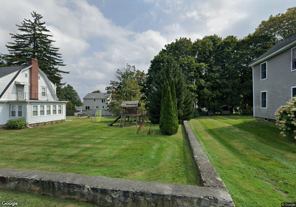
24 Grove St Marlborough, MA 01752
Estimated Value: $576,400 - $640,000
3
Beds
2
Baths
1,776
Sq Ft
$346/Sq Ft
Est. Value
About This Home
This home is located at 24 Grove St, Marlborough, MA 01752 and is currently estimated at $614,600, approximately $346 per square foot. 24 Grove St is a home located in Middlesex County with nearby schools including Marlborough High School, New Covenant Christian School, and Glenhaven Academy - JRI School.
Ownership History
Date
Name
Owned For
Owner Type
Purchase Details
Closed on
Oct 12, 2000
Sold by
Leblanc Joseph E and Patriacca Linda M
Bought by
Patriacca Linda M
Current Estimated Value
Home Financials for this Owner
Home Financials are based on the most recent Mortgage that was taken out on this home.
Original Mortgage
$90,000
Outstanding Balance
$32,752
Interest Rate
7.89%
Mortgage Type
Purchase Money Mortgage
Estimated Equity
$581,848
Create a Home Valuation Report for This Property
The Home Valuation Report is an in-depth analysis detailing your home's value as well as a comparison with similar homes in the area
Home Values in the Area
Average Home Value in this Area
Purchase History
| Date | Buyer | Sale Price | Title Company |
|---|---|---|---|
| Patriacca Linda M | $80,000 | -- |
Source: Public Records
Mortgage History
| Date | Status | Borrower | Loan Amount |
|---|---|---|---|
| Open | Patriacca Linda M | $90,000 |
Source: Public Records
Tax History Compared to Growth
Tax History
| Year | Tax Paid | Tax Assessment Tax Assessment Total Assessment is a certain percentage of the fair market value that is determined by local assessors to be the total taxable value of land and additions on the property. | Land | Improvement |
|---|---|---|---|---|
| 2025 | $5,079 | $515,100 | $226,200 | $288,900 |
| 2024 | $4,749 | $463,800 | $205,700 | $258,100 |
| 2023 | $4,312 | $373,700 | $161,600 | $212,100 |
| 2022 | $4,278 | $326,100 | $153,900 | $172,200 |
| 2021 | $4,008 | $290,400 | $130,600 | $159,800 |
| 2020 | $3,799 | $267,900 | $119,900 | $148,000 |
| 2019 | $3,631 | $258,100 | $117,500 | $140,600 |
| 2018 | $3,286 | $224,600 | $97,900 | $126,700 |
| 2017 | $4,334 | $194,700 | $97,800 | $96,900 |
| 2016 | $2,876 | $187,500 | $97,800 | $89,700 |
| 2015 | $3,002 | $190,500 | $107,300 | $83,200 |
Source: Public Records
Map
Nearby Homes
- Lot 1 Quinn Rd
- 53 Hillcrest Rd
- 75 Warren Ave
- 57 Marlton Dr
- 25 Walnut St
- 38 Sawin St
- 41 Kane Dr
- 97 Cook Ln
- 96 Cook Ln
- 16 Clinton St
- 24 Clinton St
- 165 Roundtop Rd
- 37 Hosmer St Unit 10
- 37 Hosmer St Unit 20
- 24 Bolton St
- 8 Roundtop Rd
- 00 Plymouth St
- 53 Phelps St
- 110 Boston Post Rd E Unit 104
- 175 O'Malley Rd