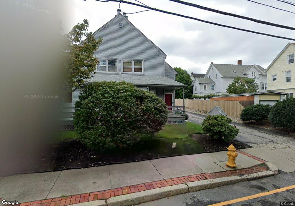
24 Grove St Pawtucket, RI 02860
Pleasant View NeighborhoodEstimated Value: $260,000 - $300,469
2
Beds
2
Baths
964
Sq Ft
$290/Sq Ft
Est. Value
About This Home
This home is located at 24 Grove St, Pawtucket, RI 02860 and is currently estimated at $279,117, approximately $289 per square foot. 24 Grove St is a home located in Providence County with nearby schools including International Charter School, Blackstone Academy Charter School, and Saint Raphael Academy.
Ownership History
Date
Name
Owned For
Owner Type
Purchase Details
Closed on
Oct 1, 1997
Sold by
Oconnor John J
Bought by
Browne Emmett T and Browne Dorothy
Current Estimated Value
Home Financials for this Owner
Home Financials are based on the most recent Mortgage that was taken out on this home.
Original Mortgage
$62,950
Interest Rate
7.41%
Create a Home Valuation Report for This Property
The Home Valuation Report is an in-depth analysis detailing your home's value as well as a comparison with similar homes in the area
Home Values in the Area
Average Home Value in this Area
Purchase History
| Date | Buyer | Sale Price | Title Company |
|---|---|---|---|
| Browne Emmett T | $67,000 | -- |
Source: Public Records
Mortgage History
| Date | Status | Borrower | Loan Amount |
|---|---|---|---|
| Open | Browne Emmett T | $166,500 | |
| Closed | Browne Emmett T | $69,000 | |
| Closed | Browne Emmett T | $62,950 |
Source: Public Records
Tax History Compared to Growth
Tax History
| Year | Tax Paid | Tax Assessment Tax Assessment Total Assessment is a certain percentage of the fair market value that is determined by local assessors to be the total taxable value of land and additions on the property. | Land | Improvement |
|---|---|---|---|---|
| 2025 | $3,046 | $231,600 | $0 | $231,600 |
| 2024 | $2,858 | $231,600 | $0 | $231,600 |
| 2023 | $2,702 | $159,500 | $0 | $159,500 |
| 2022 | $2,645 | $159,500 | $0 | $159,500 |
| 2021 | $2,645 | $159,500 | $0 | $159,500 |
| 2020 | $2,814 | $134,700 | $0 | $134,700 |
| 2019 | $2,814 | $134,700 | $0 | $134,700 |
| 2018 | $2,712 | $134,700 | $0 | $134,700 |
| 2017 | $2,467 | $108,600 | $0 | $108,600 |
| 2016 | $2,377 | $108,600 | $0 | $108,600 |
| 2015 | $2,377 | $108,600 | $0 | $108,600 |
| 2014 | $3,586 | $155,500 | $0 | $155,500 |
Source: Public Records
Map
Nearby Homes
- 36 Underwood St
- 10 Exchange Ct Unit 203
- 10 Exchange Ct Unit 506
- 339 Broadway
- 19 Wood St
- 166 Division St
- 146 S Bend St
- 168 Central Ave
- 176 Central Ave
- 41 Arch St
- 396 Roosevelt Ave
- 186 Summit St
- 70 Brewster St
- 28 Bayley St Unit 107
- 19 Jenks St
- 228 School St Unit 8
- 54 Sabin St
- 78 Jenks St
- 211 Carnation St
- 9 Nickerson St
- 22 Grove St
- 22 Grove St Unit 22
- 22 Grove St Unit 4
- 20 Grove St
- 20 Grove St Unit 20
- 20 Grove St Unit A3
- 18 Grove St
- 16 Grove St
- 26 Grove St
- 26 Grove St Unit 26
- 26 Grove St Unit 6
- 9 Spring St
- 11 Spring St
- 13 Spring St
- 19 Grove St
- 2 Armistice Blvd
- 15 Spring St
- 6 Armistice Blvd
- 6 Armistice Blvd
- 17 Spring St