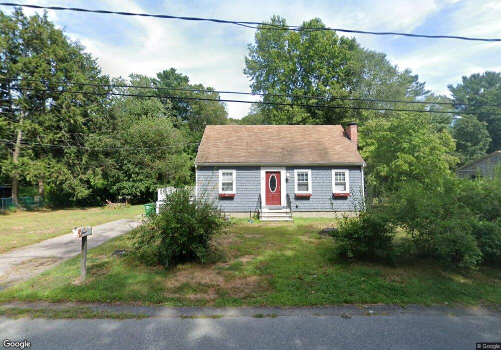
24 Hamilton Dr Pembroke, MA 02359
Estimated Value: $588,000 - $714,000
3
Beds
2
Baths
1,260
Sq Ft
$510/Sq Ft
Est. Value
About This Home
This home is located at 24 Hamilton Dr, Pembroke, MA 02359 and is currently estimated at $642,430, approximately $509 per square foot. 24 Hamilton Dr is a home located in Plymouth County with nearby schools including Pembroke High School, Cadence Academy Preschool - Hanover, and Cardinal Cushing Centers.
Ownership History
Date
Name
Owned For
Owner Type
Purchase Details
Closed on
Apr 29, 2011
Sold by
Curran Michael F and Flood Robert E
Bought by
Putnam Kathleen M and Putnam Matthew H
Current Estimated Value
Home Financials for this Owner
Home Financials are based on the most recent Mortgage that was taken out on this home.
Original Mortgage
$285,750
Outstanding Balance
$197,482
Interest Rate
4.76%
Mortgage Type
Purchase Money Mortgage
Estimated Equity
$444,948
Purchase Details
Closed on
Nov 29, 2010
Sold by
Clark James E
Bought by
Curran Michael F and Flood Robert E
Create a Home Valuation Report for This Property
The Home Valuation Report is an in-depth analysis detailing your home's value as well as a comparison with similar homes in the area
Home Values in the Area
Average Home Value in this Area
Purchase History
| Date | Buyer | Sale Price | Title Company |
|---|---|---|---|
| Putnam Kathleen M | $317,500 | -- | |
| Curran Michael F | $181,500 | -- |
Source: Public Records
Mortgage History
| Date | Status | Borrower | Loan Amount |
|---|---|---|---|
| Open | Putnam Kathleen M | $285,750 |
Source: Public Records
Tax History Compared to Growth
Tax History
| Year | Tax Paid | Tax Assessment Tax Assessment Total Assessment is a certain percentage of the fair market value that is determined by local assessors to be the total taxable value of land and additions on the property. | Land | Improvement |
|---|---|---|---|---|
| 2025 | $6,467 | $538,000 | $276,600 | $261,400 |
| 2024 | $6,168 | $512,700 | $253,100 | $259,600 |
| 2023 | $6,059 | $476,300 | $240,600 | $235,700 |
| 2022 | $5,770 | $407,800 | $198,500 | $209,300 |
| 2021 | $5,457 | $374,300 | $185,600 | $188,700 |
| 2020 | $5,374 | $370,900 | $181,600 | $189,300 |
| 2019 | $5,180 | $354,800 | $173,100 | $181,700 |
| 2018 | $5,043 | $338,700 | $162,500 | $176,200 |
| 2017 | $5,004 | $331,400 | $154,400 | $177,000 |
| 2016 | $4,940 | $323,700 | $144,300 | $179,400 |
| 2015 | $4,695 | $318,500 | $138,100 | $180,400 |
Source: Public Records
Map
Nearby Homes
- 55 Shipyard Ln
- 172 Washington St
- 107 Washington St
- 15 Kings Terrace
- 218 Schoosett St
- 38 Old Shipyard Ln
- 40 Washington St
- 28 Old Shipyard Ln
- 133 Brigantine Cir
- 20 Meadow Brook Rd
- 16 Broad Oak Way
- 33 Barker Square Dr Unit 33
- 180 Elm St
- 28 Fieldstone Dr
- 85 Maryland St
- 89 Sunset Way
- 15 Bagnell Dr Unit 15
- 523 Washington St Unit C6
- 523 Washington St Unit C8
- 31 Hillcrest Dr