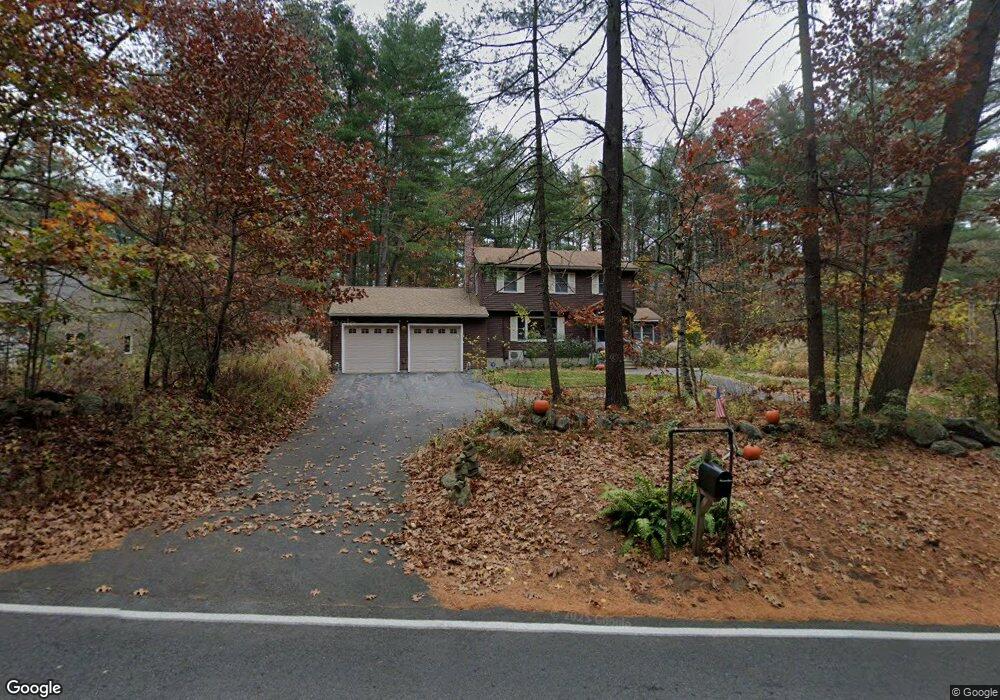
24 Heath Rd Merrimac, MA 01860
Estimated Value: $570,000 - $794,000
3
Beds
2
Baths
1,614
Sq Ft
$415/Sq Ft
Est. Value
About This Home
This home is located at 24 Heath Rd, Merrimac, MA 01860 and is currently estimated at $669,926, approximately $415 per square foot. 24 Heath Rd is a home located in Essex County with nearby schools including Pentucket Regional High School.
Ownership History
Date
Name
Owned For
Owner Type
Purchase Details
Closed on
Nov 25, 2024
Sold by
Armstrong Barry W and Armstrong Kim H
Bought by
Armstrong Ft and Armstrong
Current Estimated Value
Purchase Details
Closed on
Apr 30, 1998
Sold by
Duggan Timothy and Duggan Erin
Bought by
Armstrong Barry W and Armstrong Kim H
Purchase Details
Closed on
Nov 17, 1993
Sold by
Prudential Relocation
Bought by
Duggan Timothy and Duggan Erin
Create a Home Valuation Report for This Property
The Home Valuation Report is an in-depth analysis detailing your home's value as well as a comparison with similar homes in the area
Home Values in the Area
Average Home Value in this Area
Purchase History
| Date | Buyer | Sale Price | Title Company |
|---|---|---|---|
| Armstrong Ft | -- | None Available | |
| Armstrong Ft | -- | None Available | |
| Armstrong Barry W | $189,000 | -- | |
| Duggan Timothy | $146,200 | -- | |
| Prudential Relocation | $151,000 | -- | |
| Armstrong Barry W | $189,000 | -- | |
| Prudential Relocation | $151,000 | -- |
Source: Public Records
Mortgage History
| Date | Status | Borrower | Loan Amount |
|---|---|---|---|
| Previous Owner | Prudential Relocation | $240,750 | |
| Previous Owner | Prudential Relocation | $200,000 |
Source: Public Records
Tax History Compared to Growth
Tax History
| Year | Tax Paid | Tax Assessment Tax Assessment Total Assessment is a certain percentage of the fair market value that is determined by local assessors to be the total taxable value of land and additions on the property. | Land | Improvement |
|---|---|---|---|---|
| 2025 | $7,497 | $565,800 | $313,600 | $252,200 |
| 2024 | $7,106 | $526,400 | $276,700 | $249,700 |
| 2023 | $6,778 | $458,900 | $247,200 | $211,700 |
| 2022 | $6,417 | $392,700 | $214,000 | $178,700 |
| 2021 | $5,800 | $355,800 | $177,100 | $178,700 |
| 2020 | $5,294 | $355,800 | $177,100 | $178,700 |
| 2019 | $5,051 | $319,500 | $147,600 | $171,900 |
| 2018 | $4,983 | $316,200 | $147,600 | $168,600 |
| 2017 | $4,722 | $289,000 | $125,400 | $163,600 |
| 2016 | $4,617 | $285,700 | $125,400 | $160,300 |
| 2015 | $4,397 | $270,600 | $121,700 | $148,900 |
| 2014 | $4,125 | $259,600 | $121,700 | $137,900 |
Source: Public Records
Map
Nearby Homes
- 3 W Parish Ln
- 3 Noyes Ln
- 80 Brandy Brow Rd
- 0 Mountain View Ave
- 14 Corliss Hill Rd
- 5 Wentworth Dr
- 4 Vendome St Unit 2
- 98 Sweet Hill Rd
- 0 W Main St
- 21 Green St
- 49 Church St
- 11 Central St
- 531 Amesbury Rd
- 80 Margerie St
- 18 Harriman Rd
- 42 School St
- 1 White Cedar Way Unit 1
- 135 Forrest St Unit 10
- 135 Forrest St Unit 4
- 21-23 E Main St
- 26 Heath Rd
- 1 Heath Brook Rd
- 28 Heath Rd
- 3 Heath Brook Rd
- 20 Heath Rd
- 25 Heath Rd
- 2 Heath Brook Rd
- 18 Heath Rd
- 7 Heath Brook Rd
- 4 Heath Brook Rd
- 5 Heath Brook Rd
- 27 Heath Rd
- 9 Heath Brook Rd
- 34 Heath Rd
- 16 Heath Rd
- 6 Heath Brook Rd
- 11 Heath Brook Rd
- 462203122 Brandy Brow Rd
- 4622031223 Brandy Brow Rd
- 11 Heath Rd