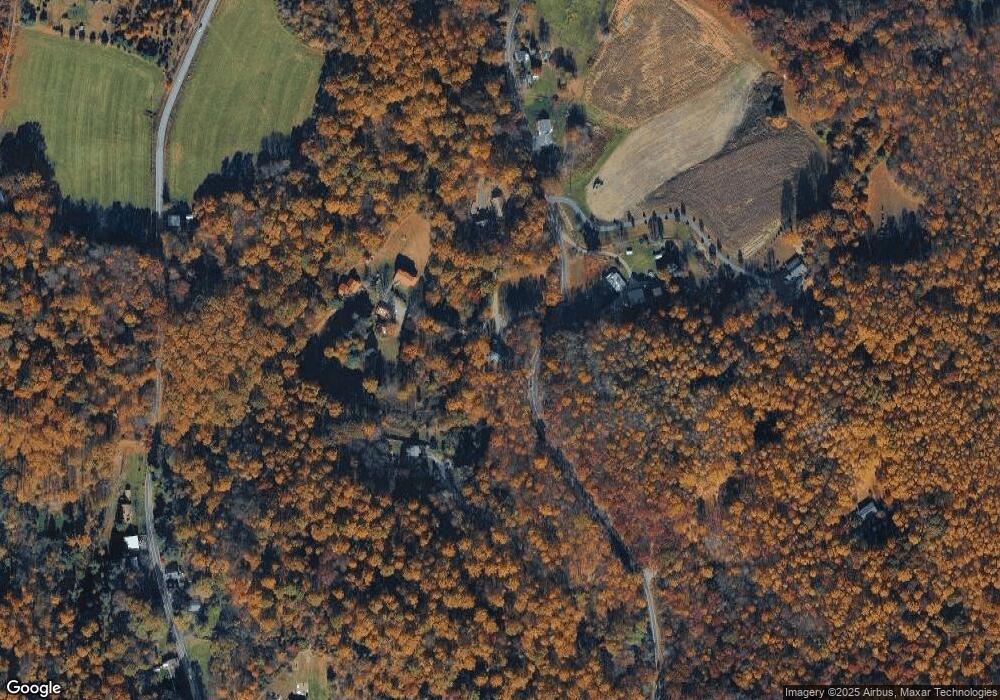
24 Heffner Ln Alburtis, PA 18011
Longswamp NeighborhoodEstimated Value: $273,000 - $437,074
3
Beds
1
Bath
1,680
Sq Ft
$209/Sq Ft
Est. Value
About This Home
This home is located at 24 Heffner Ln, Alburtis, PA 18011 and is currently estimated at $351,269, approximately $209 per square foot. 24 Heffner Ln is a home with nearby schools including Brandywine Heights Elementary School, Brandywine Intermediate School, and Brandywine Heights High School.
Ownership History
Date
Name
Owned For
Owner Type
Purchase Details
Closed on
Jun 7, 2022
Sold by
Heffner Dale K and Heffner Rebecca L
Bought by
Macdonald Matthew and Macdonald Sarah
Current Estimated Value
Home Financials for this Owner
Home Financials are based on the most recent Mortgage that was taken out on this home.
Original Mortgage
$373,871
Outstanding Balance
$355,177
Interest Rate
5.09%
Mortgage Type
New Conventional
Estimated Equity
-$3,908
Create a Home Valuation Report for This Property
The Home Valuation Report is an in-depth analysis detailing your home's value as well as a comparison with similar homes in the area
Home Values in the Area
Average Home Value in this Area
Purchase History
| Date | Buyer | Sale Price | Title Company |
|---|---|---|---|
| Macdonald Matthew | -- | Plunkett & Gaver Pc |
Source: Public Records
Mortgage History
| Date | Status | Borrower | Loan Amount |
|---|---|---|---|
| Open | Macdonald Matthew | $373,871 |
Source: Public Records
Tax History Compared to Growth
Tax History
| Year | Tax Paid | Tax Assessment Tax Assessment Total Assessment is a certain percentage of the fair market value that is determined by local assessors to be the total taxable value of land and additions on the property. | Land | Improvement |
|---|---|---|---|---|
| 2025 | $2,204 | $184,200 | $54,400 | $129,800 |
| 2024 | $8,709 | $184,200 | $54,400 | $129,800 |
| 2023 | $815 | $184,200 | $54,400 | $129,800 |
| 2022 | $68 | $1,500 | $1,500 | $0 |
| 2021 | $67 | $1,500 | $1,500 | $0 |
| 2020 | $67 | $1,500 | $1,500 | $0 |
| 2019 | $66 | $1,500 | $1,500 | $0 |
| 2018 | $65 | $1,500 | $1,500 | $0 |
| 2017 | $64 | $1,500 | $1,500 | $0 |
| 2016 | $16 | $1,600 | $1,600 | $0 |
| 2015 | $16 | $1,600 | $1,600 | $0 |
| 2014 | $16 | $1,600 | $1,600 | $0 |
Source: Public Records
Map
Nearby Homes
- 194 Haddon Dr
- 83 Mansfield Dr
- 59 Mansfield Dr
- 107 Haddon Dr
- 146 Mountain Village Dr
- 1108 S Barbara Dr
- 31 Barbara Dr
- 0 S Park Ave
- 70 S Park Ave
- 3371 Mathews Ln
- 0 Chestnut St
- 275 Sally Ann Furnace Rd
- 4 Roth Ave
- 19 Roth Ave
- 354 W 2nd St
- 6 Tina Ln
- 22 Apache Run
- 241 Flint Hill Rd
- 11 Woodland Ln
- 3 Woodland Ln
- 710 Dogwood Dr
- 707 Dogwood Dr
- 200 Dogwood Dr
- 178 Dogwood Dr
- 169 Dogwood Dr
- 44 Heffner Ln
- 166 Dogwood Dr
- 147 Dogwood Dr
- 161 Dogwood Dr
- 285 Maryann Dr
- 251 Maryann Dr
- 56 Meck Ln
- 301 Maryann Dr
- 276 Maryann Dr
- 288 Maryann Dr
- 237 Dogwood Dr
- 51 Pilgert St
- 0 Maryann Dr Unit 513800
- 0 Maryann Dr Unit Lot2 661621
- lot #2 Maryann Dr
