24 Hetty Green St Dartmouth, MA 02748
Cow Yard/Nonquitt NeighborhoodEstimated Value: $1,444,000 - $1,877,000
4
Beds
4
Baths
2,752
Sq Ft
$628/Sq Ft
Est. Value
About This Home
This home is located at 24 Hetty Green St, Dartmouth, MA 02748 and is currently estimated at $1,729,114, approximately $628 per square foot. 24 Hetty Green St is a home located in Bristol County with nearby schools including Dartmouth High School.
Ownership History
Date
Name
Owned For
Owner Type
Purchase Details
Closed on
Jun 28, 2018
Sold by
William G Logue T
Bought by
Simmons James A and Simmons Linda H
Current Estimated Value
Home Financials for this Owner
Home Financials are based on the most recent Mortgage that was taken out on this home.
Original Mortgage
$719,200
Outstanding Balance
$616,194
Interest Rate
4%
Mortgage Type
Unknown
Estimated Equity
$1,112,920
Create a Home Valuation Report for This Property
The Home Valuation Report is an in-depth analysis detailing your home's value as well as a comparison with similar homes in the area
Home Values in the Area
Average Home Value in this Area
Purchase History
| Date | Buyer | Sale Price | Title Company |
|---|---|---|---|
| Simmons James A | $899,000 | -- |
Source: Public Records
Mortgage History
| Date | Status | Borrower | Loan Amount |
|---|---|---|---|
| Open | Simmons James A | $719,200 |
Source: Public Records
Tax History Compared to Growth
Tax History
| Year | Tax Paid | Tax Assessment Tax Assessment Total Assessment is a certain percentage of the fair market value that is determined by local assessors to be the total taxable value of land and additions on the property. | Land | Improvement |
|---|---|---|---|---|
| 2025 | $12,367 | $1,436,400 | $479,400 | $957,000 |
| 2024 | $11,479 | $1,321,000 | $443,200 | $877,800 |
| 2023 | $11,616 | $1,266,700 | $452,200 | $814,500 |
| 2022 | $10,125 | $1,022,700 | $340,100 | $682,600 |
| 2021 | $10,505 | $1,014,000 | $312,900 | $701,100 |
| 2020 | $10,288 | $991,100 | $319,900 | $671,200 |
| 2019 | $9,895 | $951,400 | $316,400 | $635,000 |
| 2018 | $9,207 | $910,700 | $307,600 | $603,100 |
| 2017 | $9,179 | $916,100 | $306,500 | $609,600 |
| 2016 | $8,959 | $881,800 | $276,700 | $605,100 |
| 2015 | $9,026 | $890,100 | $279,200 | $610,900 |
| 2014 | $8,518 | $834,300 | $237,200 | $597,100 |
Source: Public Records
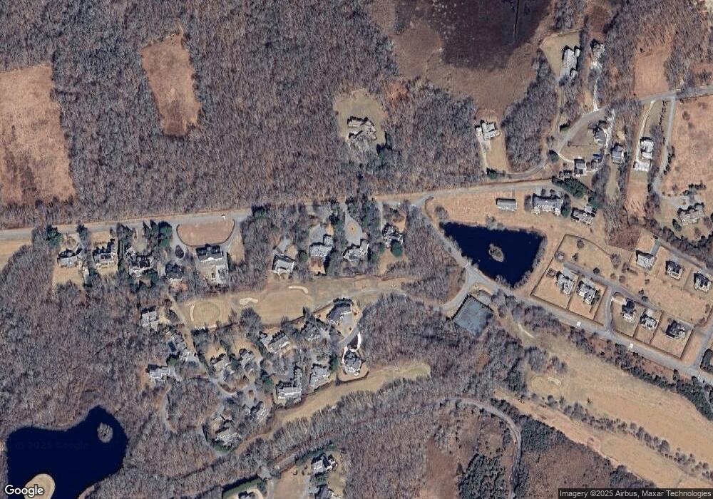
Map
Nearby Homes
- 24 Eagle Dr
- 48 N Shore Dr Unit 3&7
- 48 N Shore Dr Unit 8
- 12 Meadow Shores Rd
- 62 Hetty Green St Unit 62
- 482 Smith Neck Rd
- 158 Little River Rd
- 105 Rock Odundee Rd
- 24 White Alder Way
- 738 Smith Neck Rd
- Lot 1 Rafael Rd
- 61 Pardon Hill Rd
- 23 High St
- 248 Bakerville Rd
- 40 School St
- 0 Stoneledge Rd
- 00 Prospect St
- Lot 2E Horseneck Rd
- 76 Shipyard Ln
- 48 Wilson St
- 22 Hetty Green St
- 22 Hetty Green Dr
- 26 Hetty Green Dr
- 3 Eagle Dr
- 31 Hetty Green Dr Unit 1
- 31 Hetty Green Dr Unit Dormitory A
- 31 Hetty Green Dr Unit 31
- 20 Hetty Green Dr
- 5 Eagle Dr
- 20 Featherbed Ln
- 0 Eagle Dr Unit 72212046
- 0 Eagle Dr Unit 70919436
- 0 Eagle Dr Unit 71358308
- 0 Eagle Dr Unit 71826522
- 0 Eagle Dr Unit 71921721
- 0 Eagle Dr Unit 73380963
- 0 Eagle Dr Unit 72957017
- 7 Eagle Dr
- 8 Eagle Dr
- 56 Hetty Green St