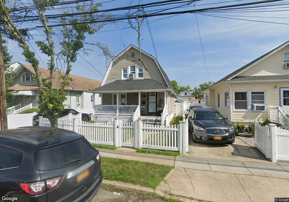
24 Independence Ave Freeport, NY 11520
Estimated Value: $589,798
3
Beds
2
Baths
1,001
Sq Ft
$589/Sq Ft
Est. Value
About This Home
This home is located at 24 Independence Ave, Freeport, NY 11520 and is currently estimated at $589,798, approximately $589 per square foot. 24 Independence Ave is a home located in Nassau County with nearby schools including Caroline G. Atkinson Intermediate School, Columbus Avenue School, and John W Dodd Middle School.
Ownership History
Date
Name
Owned For
Owner Type
Purchase Details
Closed on
Jul 1, 2011
Sold by
Proniewski Jan
Bought by
Jones Juliet E
Current Estimated Value
Home Financials for this Owner
Home Financials are based on the most recent Mortgage that was taken out on this home.
Original Mortgage
$237,550
Outstanding Balance
$164,094
Interest Rate
4.75%
Mortgage Type
FHA
Estimated Equity
$425,704
Purchase Details
Closed on
Jan 8, 2010
Sold by
Protium Reo I Lp
Bought by
Proniewski Jan
Home Financials for this Owner
Home Financials are based on the most recent Mortgage that was taken out on this home.
Original Mortgage
$99,920
Interest Rate
5.12%
Mortgage Type
Purchase Money Mortgage
Purchase Details
Closed on
Oct 2, 2009
Sold by
Barclays Capital Real Estate Inc
Bought by
Protium Reo I Lp
Home Financials for this Owner
Home Financials are based on the most recent Mortgage that was taken out on this home.
Original Mortgage
$99,920
Interest Rate
5.12%
Mortgage Type
Purchase Money Mortgage
Purchase Details
Closed on
Aug 26, 2008
Sold by
Referee Of Nassau County and Mackey Jr Esq
Bought by
Barclays Capital Real Estate Inc
Purchase Details
Closed on
May 25, 2000
Sold by
Mtg On The Net Com Inc
Bought by
Johnson Kim
Purchase Details
Closed on
Apr 5, 2000
Sold by
Cmp Properties Inc
Bought by
Mortgage On The Net Inc
Purchase Details
Closed on
Nov 19, 1998
Sold by
Aames Capital Corporation
Bought by
Cmp Properties Corp
Purchase Details
Closed on
May 20, 1998
Create a Home Valuation Report for This Property
The Home Valuation Report is an in-depth analysis detailing your home's value as well as a comparison with similar homes in the area
Home Values in the Area
Average Home Value in this Area
Purchase History
| Date | Buyer | Sale Price | Title Company |
|---|---|---|---|
| Jones Juliet E | $243,800 | -- | |
| Jones Juliet E | $243,800 | -- | |
| Jones Juliet E | $243,800 | -- | |
| Jones Juliet E | $243,800 | -- | |
| Proniewski Jan | $124,900 | -- | |
| Proniewski Jan | $124,900 | -- | |
| Proniewski Jan | $124,900 | -- | |
| Proniewski Jan | $124,900 | -- | |
| Protium Reo I Lp | -- | -- | |
| Protium Reo I Lp | -- | -- | |
| Protium Reo I Lp | -- | -- | |
| Protium Reo I Lp | -- | -- | |
| Barclays Capital Real Estate Inc | $562,058 | Attorney | |
| Barclays Capital Real Estate Inc | $562,058 | Attorney | |
| Barclays Capital Real Estate Inc | $562,058 | Attorney | |
| Johnson Kim | $144,000 | Steven Gozinsky | |
| Johnson Kim | $144,000 | Steven Gozinsky | |
| Mortgage On The Net Inc | $115,000 | Linda Taub | |
| Mortgage On The Net Inc | $115,000 | Linda Taub | |
| Cmp Properties Corp | $80,000 | -- | |
| Cmp Properties Corp | $80,000 | -- | |
| -- | $68,881 | -- | |
| -- | $68,881 | -- |
Source: Public Records
Mortgage History
| Date | Status | Borrower | Loan Amount |
|---|---|---|---|
| Open | Jones Juliet E | $237,550 | |
| Closed | Jones Juliet E | $237,550 | |
| Previous Owner | Proniewski Jan | $99,920 | |
| Previous Owner | Protium Reo I Lp | $99,920 |
Source: Public Records
Tax History
| Year | Tax Paid | Tax Assessment Tax Assessment Total Assessment is a certain percentage of the fair market value that is determined by local assessors to be the total taxable value of land and additions on the property. | Land | Improvement |
|---|---|---|---|---|
| 2025 | $7,525 | $349 | $117 | $232 |
| 2024 | $814 | $349 | $117 | $232 |
Source: Public Records
Map
Nearby Homes
- 72 Woodside Ave
- 63 E Seaman Ave
- 35 W Seaman Ave
- 101 Harris Ave
- 63 Lincoln Place
- 188 Woodside Ave
- 247 N Columbus Ave
- 67 E Dean St
- 12 King St
- 365 Wallace St
- 400 N Columbus Ave
- 173 E Seaman Ave
- 251 N Long Beach Ave
- 152 Evans Ave
- 45 Dehnhoff Ave
- 27 W Woodbine Dr
- 32 Dawes Ave
- 161 Wallace St
- 85 Bedford Ave
- 60 Connecticut Ave
- 26 Independence Ave
- 22 Independence Ave
- 28 Independence Ave
- 15 Independence Ave
- 30 Independence Ave
- 40 Stevens St
- 38 Stevens St
- 18 Independence Ave
- 42 Stevens St
- 36 Stevens St
- 44 Stevens St
- 34 Stevens St
- 32 Independence Ave
- 23 Independence Ave
- 25 Independence Ave
- 46 Stevens St
- 21 Independence Ave
- 27 Independence Ave
- 19 Independence Ave
- 29 Independence Ave
Your Personal Tour Guide
Ask me questions while you tour the home.