24 Indian Point Terrace Harpswell, ME 04079
Harpswell NeighborhoodEstimated Value: $831,000 - $1,268,000
4
Beds
4
Baths
2,879
Sq Ft
$383/Sq Ft
Est. Value
About This Home
This home is located at 24 Indian Point Terrace, Harpswell, ME 04079 and is currently estimated at $1,103,282, approximately $383 per square foot. 24 Indian Point Terrace is a home with nearby schools including Mt Ararat High School.
Ownership History
Date
Name
Owned For
Owner Type
Purchase Details
Closed on
Aug 24, 2018
Sold by
Goodwin Kimball O
Bought by
Greene James N and Greene Cuyler
Current Estimated Value
Home Financials for this Owner
Home Financials are based on the most recent Mortgage that was taken out on this home.
Original Mortgage
$275,000
Outstanding Balance
$238,826
Interest Rate
4.5%
Mortgage Type
New Conventional
Estimated Equity
$864,456
Create a Home Valuation Report for This Property
The Home Valuation Report is an in-depth analysis detailing your home's value as well as a comparison with similar homes in the area
Home Values in the Area
Average Home Value in this Area
Purchase History
| Date | Buyer | Sale Price | Title Company |
|---|---|---|---|
| Greene James N | -- | -- |
Source: Public Records
Mortgage History
| Date | Status | Borrower | Loan Amount |
|---|---|---|---|
| Open | Greene James N | $275,000 |
Source: Public Records
Tax History Compared to Growth
Tax History
| Year | Tax Paid | Tax Assessment Tax Assessment Total Assessment is a certain percentage of the fair market value that is determined by local assessors to be the total taxable value of land and additions on the property. | Land | Improvement |
|---|---|---|---|---|
| 2024 | $5,125 | $805,800 | $321,300 | $484,500 |
| 2023 | $4,915 | $805,800 | $321,300 | $484,500 |
| 2022 | $4,754 | $805,800 | $321,300 | $484,500 |
| 2021 | $4,060 | $600,600 | $254,100 | $346,500 |
| 2020 | $4,048 | $600,600 | $254,100 | $346,500 |
| 2019 | $4,024 | $600,600 | $254,100 | $346,500 |
| 2018 | $4,419 | $681,900 | $273,800 | $408,100 |
| 2017 | $4,405 | $681,900 | $273,800 | $408,100 |
| 2016 | $4,364 | $681,900 | $273,800 | $408,100 |
| 2015 | $4,255 | $681,900 | $273,800 | $408,100 |
| 2013 | $3,941 | $681,900 | $273,800 | $408,100 |
Source: Public Records
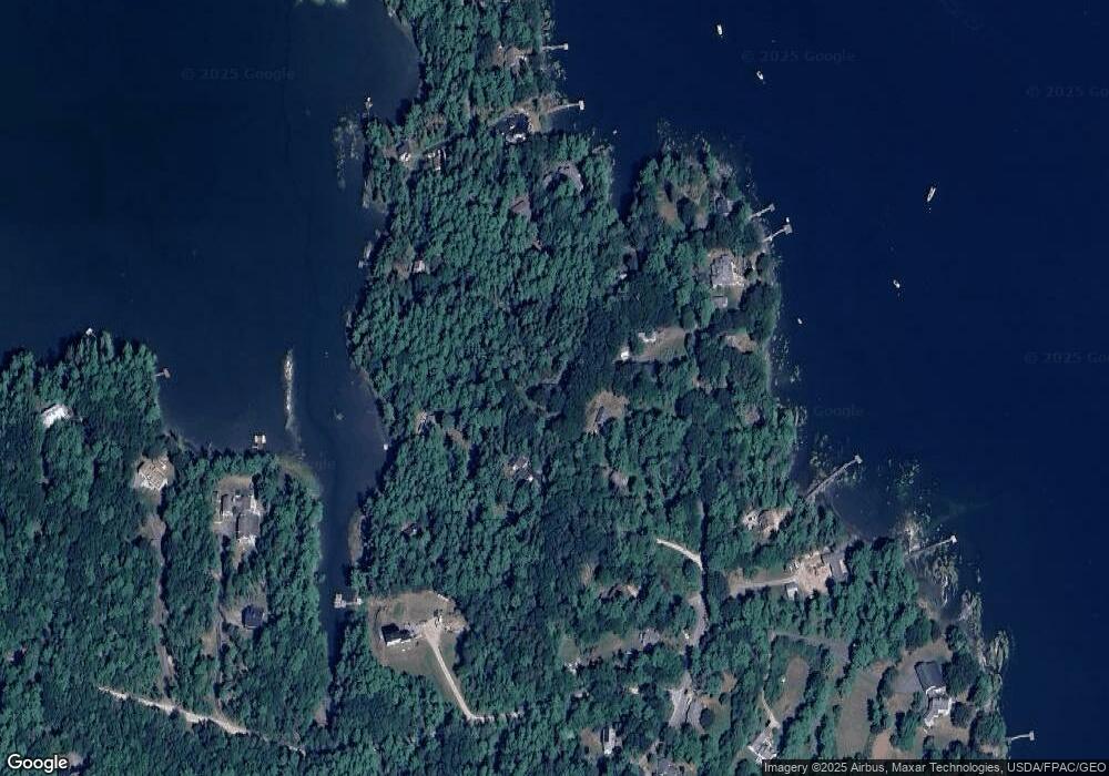
Map
Nearby Homes
- 51 & 53 Rock Haven Dr
- 93 Abbot Cove Rd
- 29 & 30 Nob Hill Ave
- 646 Gurnet Rd
- 46 Dam Cove Rd
- 242 Long Reach Ln
- 10 Birch Point Rd
- 260 Coombs Rd
- 88 Campbell Pond Rd
- 37 & 38 S Dyers Cove Rd
- Lot 27 Howards Point Ln
- 6 Balsam Ave
- 47 Cluf Bay Rd
- 19 Ward Cir
- 38 Ward Cir
- 60 Rosedale Rd
- 2 Chickadee Cir Unit 2
- 140 Clifford Rd
- 11 Neptune Dr
- 15 Neptune Dr
- 22 Indian Point Terrace
- 0 Indian Point Rd
- 269 Oak Ledge Rd
- 21 Indian Point Terrace
- 20 Indian Point Terrace
- 32 Indian Point Terrace
- 289 Oak Ledge Rd
- 295 Oak Ledge Rd
- 272 Oak Ledge Rd
- 297 Oak Ledge Rd
- 42 Indian Point Terrace
- 292 Oak Ledge Rd
- 245 Oak Ledge Rd
- 10 Oak Ledge Point Rd
- 252 Oak Ledge Rd
- 22 Sebascodegan Shores Rd
- 241 Oak Ledge Rd
- 314 Oak Ledge Rd
- 311 Oak Ledge Rd
- 0 Sebascodegan Shores