24 Ironworks Rd Sudbury, MA 01776
Estimated Value: $1,881,321 - $2,147,000
4
Beds
6
Baths
4,252
Sq Ft
$477/Sq Ft
Est. Value
About This Home
This home is located at 24 Ironworks Rd, Sudbury, MA 01776 and is currently estimated at $2,030,080, approximately $477 per square foot. 24 Ironworks Rd is a home located in Middlesex County with nearby schools including Josiah Haynes Elementary School, Ephraim Curtis Middle School, and Lincoln-Sudbury Regional High School.
Ownership History
Date
Name
Owned For
Owner Type
Purchase Details
Closed on
Dec 21, 2023
Sold by
Coyne Devon E
Bought by
Devon Elizabeth T and Devon Coyne
Current Estimated Value
Purchase Details
Closed on
Mar 14, 2001
Sold by
Terra Hldgs Llc
Bought by
Brown Robert K and Brown Dianne M
Home Financials for this Owner
Home Financials are based on the most recent Mortgage that was taken out on this home.
Original Mortgage
$940,000
Interest Rate
7.01%
Mortgage Type
Purchase Money Mortgage
Create a Home Valuation Report for This Property
The Home Valuation Report is an in-depth analysis detailing your home's value as well as a comparison with similar homes in the area
Home Values in the Area
Average Home Value in this Area
Purchase History
| Date | Buyer | Sale Price | Title Company |
|---|---|---|---|
| Devon Elizabeth T | -- | None Available | |
| Brown Robert K | $330,000 | -- |
Source: Public Records
Mortgage History
| Date | Status | Borrower | Loan Amount |
|---|---|---|---|
| Previous Owner | Brown Robert K | $949,000 | |
| Previous Owner | Brown Robert K | $940,000 |
Source: Public Records
Tax History Compared to Growth
Tax History
| Year | Tax Paid | Tax Assessment Tax Assessment Total Assessment is a certain percentage of the fair market value that is determined by local assessors to be the total taxable value of land and additions on the property. | Land | Improvement |
|---|---|---|---|---|
| 2025 | $30,114 | $2,057,000 | $601,500 | $1,455,500 |
| 2024 | $28,973 | $1,983,100 | $584,200 | $1,398,900 |
| 2023 | $27,143 | $1,721,200 | $546,000 | $1,175,200 |
| 2022 | $25,925 | $1,436,300 | $462,400 | $973,900 |
| 2021 | $25,884 | $1,374,600 | $462,400 | $912,200 |
| 2020 | $25,837 | $1,400,400 | $488,200 | $912,200 |
| 2019 | $25,081 | $1,400,400 | $488,200 | $912,200 |
| 2018 | $24,607 | $1,372,400 | $500,900 | $871,500 |
| 2017 | $22,837 | $1,287,300 | $466,300 | $821,000 |
| 2016 | $22,186 | $1,246,400 | $448,200 | $798,200 |
| 2015 | $21,512 | $1,222,300 | $439,300 | $783,000 |
| 2014 | $21,535 | $1,194,400 | $426,600 | $767,800 |
Source: Public Records
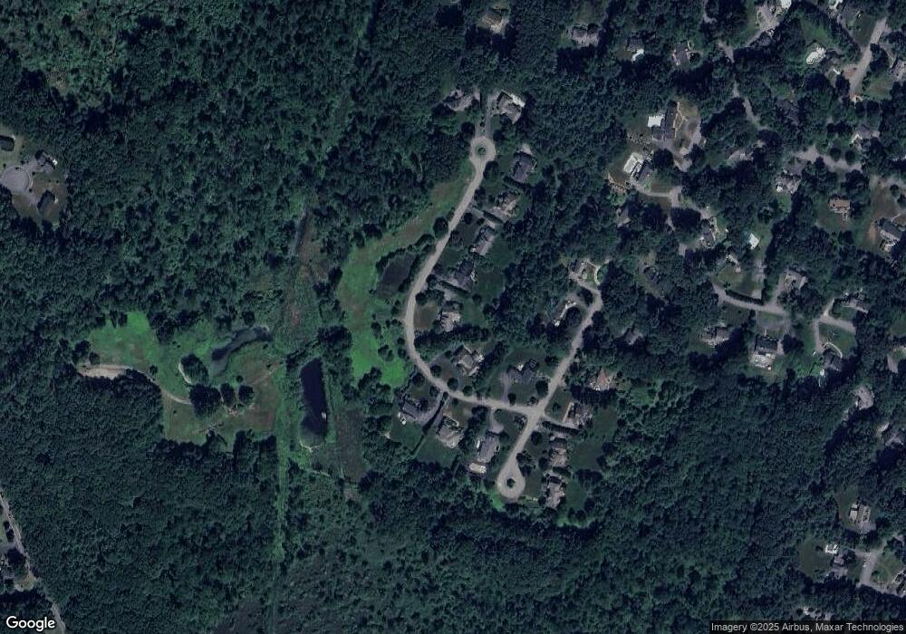
Map
Nearby Homes
- 5 Taintor Dr
- 166 Parker St Unit 4
- 55 Widow Rites Ln
- 45 Widow Rites Ln
- 54 Phillips Rd
- 57 Longfellow Rd
- 250 Great Rd
- 12 Camperdown Ln
- 10 Oak Ridge Dr Unit 5
- 589 North Rd
- 4 Elderberry Cir
- 5 Oak Ridge Dr Unit 7
- 47 Fairbank Rd
- 67 Powder Mill Rd
- 5 Hayes St Unit 5
- 15 Arthur St Unit 15
- 13 Arthur St Unit 15
- 63 Canterbury Dr
- 36 Old Forge Ln
- 28 Waltham St Unit B