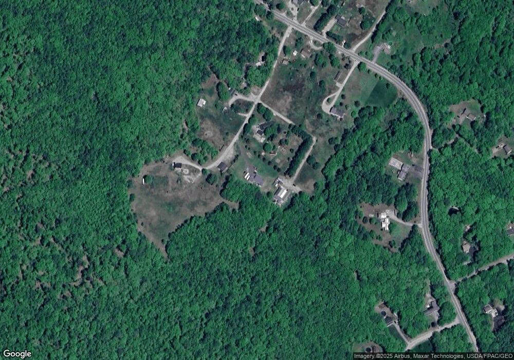
24 John Clark Rd Dayton, ME 04005
Dayton NeighborhoodEstimated Value: $395,000 - $603,000
2
Beds
1
Bath
960
Sq Ft
$486/Sq Ft
Est. Value
About This Home
This home is located at 24 John Clark Rd, Dayton, ME 04005 and is currently estimated at $466,275, approximately $485 per square foot. 24 John Clark Rd is a home with nearby schools including Dayton Consolidated School.
Ownership History
Date
Name
Owned For
Owner Type
Purchase Details
Closed on
Jul 8, 2020
Sold by
Taylor George J and Taylor Colleen M
Bought by
Lavoie Robert M and Lavoie Laurie
Current Estimated Value
Home Financials for this Owner
Home Financials are based on the most recent Mortgage that was taken out on this home.
Original Mortgage
$244,000
Outstanding Balance
$216,363
Interest Rate
3.1%
Mortgage Type
New Conventional
Estimated Equity
$249,912
Purchase Details
Closed on
Mar 29, 2012
Sold by
Glover Julie E
Bought by
Taylor George J and Taylor Colleen M
Home Financials for this Owner
Home Financials are based on the most recent Mortgage that was taken out on this home.
Original Mortgage
$103,200
Interest Rate
3.88%
Mortgage Type
New Conventional
Create a Home Valuation Report for This Property
The Home Valuation Report is an in-depth analysis detailing your home's value as well as a comparison with similar homes in the area
Home Values in the Area
Average Home Value in this Area
Purchase History
| Date | Buyer | Sale Price | Title Company |
|---|---|---|---|
| Lavoie Robert M | -- | None Available | |
| Taylor George J | -- | -- |
Source: Public Records
Mortgage History
| Date | Status | Borrower | Loan Amount |
|---|---|---|---|
| Open | Lavoie Robert M | $244,000 | |
| Previous Owner | Taylor George J | $103,200 |
Source: Public Records
Tax History Compared to Growth
Tax History
| Year | Tax Paid | Tax Assessment Tax Assessment Total Assessment is a certain percentage of the fair market value that is determined by local assessors to be the total taxable value of land and additions on the property. | Land | Improvement |
|---|---|---|---|---|
| 2022 | $3,872 | $272,900 | $66,500 | $206,400 |
| 2021 | $3,872 | $272,900 | $66,500 | $206,400 |
| 2020 | $3,477 | $245,000 | $67,000 | $178,000 |
| 2019 | $3,322 | $245,000 | $67,000 | $178,000 |
| 2018 | $2,118 | $229,000 | $53,000 | $176,000 |
| 2017 | $2,166 | $201,000 | $45,000 | $156,000 |
| 2016 | $3,313 | $163,500 | $33,000 | $130,500 |
| 2015 | $2,868 | $138,100 | $33,000 | $105,100 |
| 2014 | -- | $138,100 | $33,000 | $105,100 |
| 2007 | -- | $121,300 | $33,000 | $88,300 |
Source: Public Records
Map
Nearby Homes
- 17 John Clark Rd
- 11 Tide Water Dr
- 12 Tide Water Dr
- 10 Tide Water Dr
- 3 Tide Water Dr
- 213 Barkers Pond Rd
- 14 Clarks Mills Rd
- 131 Gould Rd
- 203 Gould Rd
- 14 Cal Vista Dr
- 57 Reagan Lynn Rd
- 25-2 K and M Way
- 10 Bluff Dr
- 8 Smith Ln
- 668 Hollis Rd
- 62 Nichols Ln
- 9 Bar Mills Rd
- 473 Goodwins Mills Rd
- 55 Church St
- 12 Salmon Falls Rd
- 33 John Clark Rd
- 21 John Clark Rd
- 212 Clarks Mills Rd
- 210 Clarks Mills Rd
- 166 Clarks Mills Rd
- 222 Clarks Mills Rd
- 178 Clarks Mills Rd
- 203 Clarks Mills Rd
- 221 Clarks Mills Rd
- 201 Clarks Mills Rd
- 13 Stephanie Dr
- 217 Clarks Mills Rd
- 233 Clarks Mills Rd
- 17 Stephanie Dr
- 0 Brookside Dr Unit 854757
- 0 Brookside Dr Unit 863159
- 0 Brookside Dr Unit 833182
- 0 Brookside Dr Unit 833176
- 0 Brookside Dr Unit 833170
- 0 Brookside Dr Unit Lot8 875536
