24 John t Martin Rd Little Compton, RI 02837
Estimated Value: $1,029,000 - $1,475,000
3
Beds
3
Baths
2,788
Sq Ft
$457/Sq Ft
Est. Value
About This Home
This home is located at 24 John t Martin Rd, Little Compton, RI 02837 and is currently estimated at $1,273,557, approximately $456 per square foot. 24 John t Martin Rd is a home with nearby schools including Wilbur & McMahon School.
Ownership History
Date
Name
Owned For
Owner Type
Purchase Details
Closed on
Oct 16, 2013
Sold by
Martin Matthew C and Martin Rebecca L
Bought by
Martin Brendan P and Martin Jennifer H
Current Estimated Value
Home Financials for this Owner
Home Financials are based on the most recent Mortgage that was taken out on this home.
Original Mortgage
$38,700
Interest Rate
4.56%
Purchase Details
Closed on
Sep 26, 2012
Sold by
Martin Brendan P and Martin Cassandra M
Bought by
Martin Brendan P and Martin Jenniger H
Purchase Details
Closed on
Jul 7, 2011
Sold by
Martin Brendan P and Martin Matthew C
Bought by
Martin Matthew C and Martin Rebecca L
Create a Home Valuation Report for This Property
The Home Valuation Report is an in-depth analysis detailing your home's value as well as a comparison with similar homes in the area
Home Values in the Area
Average Home Value in this Area
Purchase History
| Date | Buyer | Sale Price | Title Company |
|---|---|---|---|
| Martin Brendan P | -- | -- | |
| Martin Brendan P | -- | -- | |
| Martin Matthew C | -- | -- |
Source: Public Records
Mortgage History
| Date | Status | Borrower | Loan Amount |
|---|---|---|---|
| Open | Martin Matthew C | $50,000 | |
| Closed | Martin Matthew C | $38,700 | |
| Open | Martin Matthew C | $410,000 |
Source: Public Records
Tax History Compared to Growth
Tax History
| Year | Tax Paid | Tax Assessment Tax Assessment Total Assessment is a certain percentage of the fair market value that is determined by local assessors to be the total taxable value of land and additions on the property. | Land | Improvement |
|---|---|---|---|---|
| 2025 | $4,982 | $1,040,100 | $351,700 | $688,400 |
| 2024 | $4,615 | $908,500 | $314,400 | $594,100 |
| 2023 | $4,506 | $908,500 | $314,400 | $594,100 |
| 2022 | $4,452 | $908,500 | $314,400 | $594,100 |
| 2021 | $3,979 | $658,700 | $271,800 | $386,900 |
| 2020 | $3,946 | $658,700 | $271,800 | $386,900 |
| 2019 | $3,906 | $658,700 | $271,800 | $386,900 |
| 2018 | $3,214 | $539,200 | $217,500 | $321,700 |
| 2016 | $3,057 | $539,200 | $217,500 | $321,700 |
| 2015 | $3,065 | $533,000 | $202,600 | $330,400 |
| 2014 | $3,006 | $533,000 | $202,600 | $330,400 |
Source: Public Records
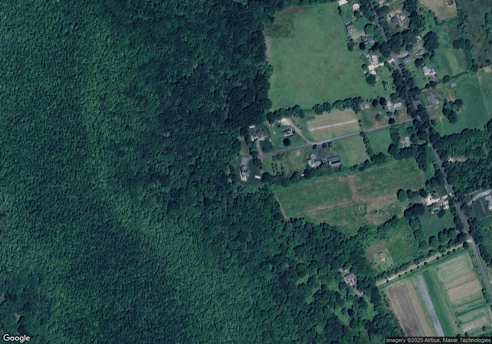
Map
Nearby Homes
- 128 Maple Ave
- 141 S Of Commons Rd
- 18 Old Barn Rd
- 536 W Main Rd
- 0 Willow Ave
- 505 Long Hwy
- 255 John Dyer Rd
- 189 Brayton Point Rd
- 441 W Main Rd
- 304 Brayton Point Rd
- 180 W Main Rd
- 19 Seabury Ln
- 245 John Dyer Rd
- 17 Ferolbink Way
- 155 W Main Rd
- 83 Long Hwy
- 6 June Way
- 116 Amy Hart Path
- 55 W Main Rd
- 90 Two Rod Rd