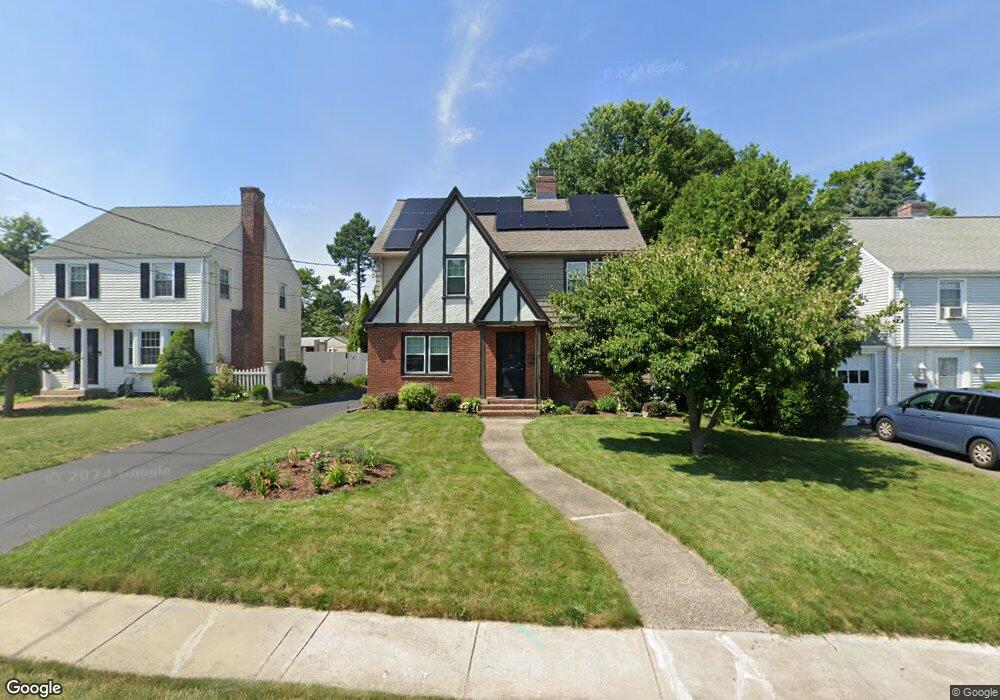
24 Judd Rd Wethersfield, CT 06109
Estimated Value: $338,000 - $421,000
3
Beds
2
Baths
1,598
Sq Ft
$239/Sq Ft
Est. Value
About This Home
This home is located at 24 Judd Rd, Wethersfield, CT 06109 and is currently estimated at $381,175, approximately $238 per square foot. 24 Judd Rd is a home located in Hartford County with nearby schools including Charles Wright School, Silas Deane Middle School, and Wethersfield High School.
Ownership History
Date
Name
Owned For
Owner Type
Purchase Details
Closed on
Dec 11, 2012
Sold by
Mcdonald Charles E
Bought by
Mcdonald Cynthia J
Current Estimated Value
Home Financials for this Owner
Home Financials are based on the most recent Mortgage that was taken out on this home.
Original Mortgage
$192,000
Interest Rate
3.39%
Mortgage Type
Stand Alone Refi Refinance Of Original Loan
Purchase Details
Closed on
Jun 30, 1988
Sold by
Valente Thomas F
Bought by
Mcdonald Charles E
Create a Home Valuation Report for This Property
The Home Valuation Report is an in-depth analysis detailing your home's value as well as a comparison with similar homes in the area
Home Values in the Area
Average Home Value in this Area
Purchase History
| Date | Buyer | Sale Price | Title Company |
|---|---|---|---|
| Mcdonald Cynthia J | $50,000 | -- | |
| Mcdonald Charles E | $175,000 | -- |
Source: Public Records
Mortgage History
| Date | Status | Borrower | Loan Amount |
|---|---|---|---|
| Open | Mcdonald Charles E | $194,400 | |
| Closed | Mcdonald Charles E | $192,000 | |
| Previous Owner | Mcdonald Charles E | $50,000 |
Source: Public Records
Tax History
| Year | Tax Paid | Tax Assessment Tax Assessment Total Assessment is a certain percentage of the fair market value that is determined by local assessors to be the total taxable value of land and additions on the property. | Land | Improvement |
|---|---|---|---|---|
| 2025 | $9,168 | $222,410 | $64,480 | $157,930 |
| 2024 | $6,630 | $153,390 | $54,600 | $98,790 |
| 2023 | $6,407 | $153,350 | $54,600 | $98,750 |
| 2022 | $6,300 | $153,350 | $54,600 | $98,750 |
| 2021 | $6,237 | $153,350 | $54,600 | $98,750 |
| 2020 | $6,240 | $153,350 | $54,600 | $98,750 |
| 2019 | $6,247 | $153,350 | $54,600 | $98,750 |
| 2018 | $6,378 | $156,400 | $54,400 | $102,000 |
| 2017 | $6,220 | $156,400 | $54,400 | $102,000 |
| 2016 | $6,028 | $156,400 | $54,400 | $102,000 |
| 2015 | $5,973 | $156,400 | $54,400 | $102,000 |
| 2014 | $5,746 | $156,400 | $54,400 | $102,000 |
Source: Public Records
Map
Nearby Homes
Your Personal Tour Guide
Ask me questions while you tour the home.