24 Labree Rd New Boston, NH 03070
Estimated Value: $752,905 - $832,000
4
Beds
3
Baths
3,442
Sq Ft
$231/Sq Ft
Est. Value
About This Home
This home is located at 24 Labree Rd, New Boston, NH 03070 and is currently estimated at $794,226, approximately $230 per square foot. 24 Labree Rd is a home with nearby schools including New Boston Central School and Goffstown High School.
Ownership History
Date
Name
Owned For
Owner Type
Purchase Details
Closed on
Nov 16, 2017
Sold by
Backus Richad C and Romeyko-Backus Sharon
Bought by
Backus Ft
Current Estimated Value
Purchase Details
Closed on
Oct 4, 2006
Sold by
Garretson Adam D
Bought by
Backus Richard C
Home Financials for this Owner
Home Financials are based on the most recent Mortgage that was taken out on this home.
Original Mortgage
$340,000
Interest Rate
6.54%
Mortgage Type
Purchase Money Mortgage
Create a Home Valuation Report for This Property
The Home Valuation Report is an in-depth analysis detailing your home's value as well as a comparison with similar homes in the area
Home Values in the Area
Average Home Value in this Area
Purchase History
| Date | Buyer | Sale Price | Title Company |
|---|---|---|---|
| Backus Ft | -- | -- | |
| Backus Richard C | $425,000 | -- |
Source: Public Records
Mortgage History
| Date | Status | Borrower | Loan Amount |
|---|---|---|---|
| Previous Owner | Backus Richard C | $311,027 | |
| Previous Owner | Backus Richard C | $339,000 | |
| Previous Owner | Backus Richard C | $340,000 |
Source: Public Records
Tax History
| Year | Tax Paid | Tax Assessment Tax Assessment Total Assessment is a certain percentage of the fair market value that is determined by local assessors to be the total taxable value of land and additions on the property. | Land | Improvement |
|---|---|---|---|---|
| 2025 | $13,369 | $564,800 | $216,700 | $348,100 |
| 2024 | $13,437 | $564,800 | $216,700 | $348,100 |
| 2023 | $11,494 | $564,800 | $216,700 | $348,100 |
| 2022 | $10,833 | $564,800 | $216,700 | $348,100 |
| 2021 | $10,449 | $564,800 | $216,700 | $348,100 |
| 2020 | $10,455 | $434,000 | $131,000 | $303,000 |
| 2019 | $10,872 | $434,000 | $131,000 | $303,000 |
| 2018 | $10,360 | $434,000 | $131,000 | $303,000 |
| 2017 | $9,750 | $400,400 | $131,000 | $269,400 |
| 2016 | $9,349 | $400,400 | $131,000 | $269,400 |
| 2015 | $9,824 | $367,800 | $125,000 | $242,800 |
| 2014 | $8,752 | $343,900 | $125,000 | $218,900 |
| 2013 | $8,336 | $343,900 | $125,000 | $218,900 |
Source: Public Records
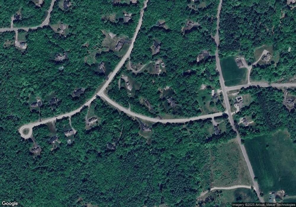
Map
Nearby Homes
- 189 Byam Rd
- Map 6 Lot 40 River Rd
- 00 Bog Brook Rd Unit multiple
- 3 Foxberry Dr
- 5 Sawmill Ln
- 370 Mccurdy Rd
- 104 Weare Rd
- 1 Cemetery Rd
- 0 Sawmill Ln Unit 32
- 51 Lorden Rd
- 220 Riverdale Rd
- 79 Summit Dr
- 425 Weare Rd
- 129 New Boston Rd
- 31 Pine Crest Dr
- 227 Joe English Rd Unit A
- 227 Joe English Rd
- 256 Middle Branch Rd
- 317 Middle Branch Rd
- 15-32-1-4 Chestnut Hill Rd
- 12 Labree Rd
- 40 Labree Rd
- 60 Labree Rd
- 23 Labree Rd
- 70 Labree Rd
- 39 Labree Rd
- 5 Orchard Rd
- 57 Labree Rd
- 63 Labree Rd
- 101 Wilson Hill Rd
- 4 Orchard Rd
- 91 Wilson Hill Rd
- 74 Labree Rd
- 99 Wilson Hill Rd Unit 21
- 99 Wilson Hill Rd Unit 22
- 126 Wilson Hill Rd
- 134 Wilson Hill Rd
- 13 Orchard Rd
- 73 Labree Rd
- 119 Wilson Hill Rd
Your Personal Tour Guide
Ask me questions while you tour the home.