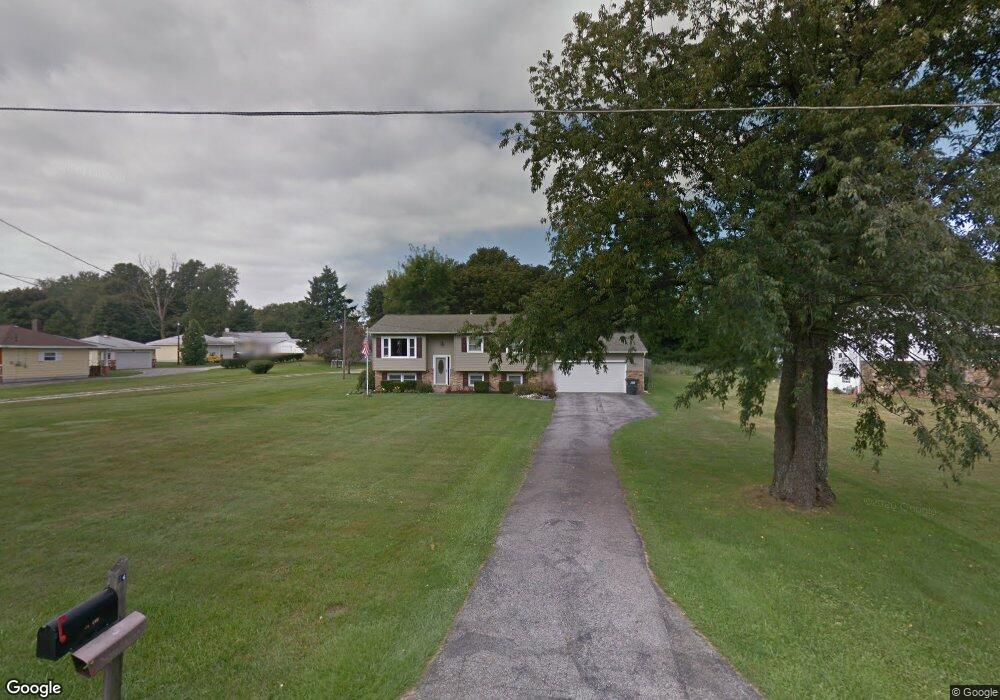
24 Lee Rd Painesville, OH 44077
Estimated Value: $210,000 - $281,000
2
Beds
2
Baths
974
Sq Ft
$246/Sq Ft
Est. Value
About This Home
This home is located at 24 Lee Rd, Painesville, OH 44077 and is currently estimated at $240,081, approximately $246 per square foot. 24 Lee Rd is a home located in Lake County with nearby schools including Henry F. Lamuth Middle School, Riverside Junior/Senior High School, and Summit Academy Community School - Painesville.
Ownership History
Date
Name
Owned For
Owner Type
Purchase Details
Closed on
Dec 28, 2009
Sold by
Rusnak John David and Rusnak Christine M
Bought by
Rusnak John David and Rusnak Christine M
Current Estimated Value
Purchase Details
Closed on
Mar 6, 2006
Sold by
Thomas Rodney E and Thomas Lois J
Bought by
Rusnak John David
Home Financials for this Owner
Home Financials are based on the most recent Mortgage that was taken out on this home.
Original Mortgage
$133,900
Interest Rate
6.2%
Mortgage Type
Fannie Mae Freddie Mac
Purchase Details
Closed on
Oct 7, 1971
Bought by
Thomas Rodney E
Create a Home Valuation Report for This Property
The Home Valuation Report is an in-depth analysis detailing your home's value as well as a comparison with similar homes in the area
Home Values in the Area
Average Home Value in this Area
Purchase History
| Date | Buyer | Sale Price | Title Company |
|---|---|---|---|
| Rusnak John David | -- | Accent Ohio Land Title | |
| Rusnak John David | $167,400 | None Available | |
| Thomas Rodney E | -- | -- |
Source: Public Records
Mortgage History
| Date | Status | Borrower | Loan Amount |
|---|---|---|---|
| Previous Owner | Rusnak John David | $133,900 |
Source: Public Records
Tax History Compared to Growth
Tax History
| Year | Tax Paid | Tax Assessment Tax Assessment Total Assessment is a certain percentage of the fair market value that is determined by local assessors to be the total taxable value of land and additions on the property. | Land | Improvement |
|---|---|---|---|---|
| 2024 | -- | $63,130 | $13,750 | $49,380 |
| 2023 | $4,888 | $44,860 | $9,980 | $34,880 |
| 2022 | $2,679 | $44,860 | $9,980 | $34,880 |
| 2021 | $2,688 | $44,860 | $9,980 | $34,880 |
| 2020 | $2,649 | $39,010 | $8,680 | $30,330 |
| 2019 | $2,669 | $39,010 | $8,680 | $30,330 |
| 2018 | $2,677 | $42,610 | $7,990 | $34,620 |
| 2017 | $3,001 | $42,610 | $7,990 | $34,620 |
| 2016 | $2,647 | $42,610 | $7,990 | $34,620 |
| 2015 | $2,439 | $42,610 | $7,990 | $34,620 |
| 2014 | $2,479 | $42,610 | $7,990 | $34,620 |
| 2013 | $2,423 | $42,610 | $7,990 | $34,620 |
Source: Public Records
Map
Nearby Homes
- 1809 Muirfield Ln
- 1787 Muirfield Ln
- 0 N Ridge Rd Unit 5110949
- 728 Bowhall Rd
- 79 Fruitland Ave
- 269 Hale Rd
- 634 N Creek Dr
- 1865 Marsh Ln Unit 1865
- 1791 Muirfield Ln
- 389 Sand Trap Cir
- 547 Greenside Dr
- 499 Sand Trap Cir
- 108 Birch Dr
- 1978 Marsh Ln Unit 1978
- 751 Bacon Rd
- 720 N Creek Dr
- 500 Park Rd
- 525 Morgan Dr
- 396 Park Rd
- 1719 Duffton Ln