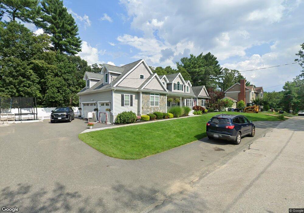
24 Linda Rd Wilmington, MA 01887
North Wilmington NeighborhoodEstimated Value: $1,163,255 - $1,372,000
4
Beds
3
Baths
3,512
Sq Ft
$365/Sq Ft
Est. Value
About This Home
This home is located at 24 Linda Rd, Wilmington, MA 01887 and is currently estimated at $1,283,564, approximately $365 per square foot. 24 Linda Rd is a home located in Middlesex County with nearby schools including Wilmington Middle School, Wilmington High School, and Abundant Life Christian School and Childcare.
Ownership History
Date
Name
Owned For
Owner Type
Purchase Details
Closed on
Aug 7, 2014
Sold by
Twenty Four Linda Road
Bought by
Fogg Daniel H
Current Estimated Value
Home Financials for this Owner
Home Financials are based on the most recent Mortgage that was taken out on this home.
Original Mortgage
$312,000
Outstanding Balance
$238,166
Interest Rate
4.14%
Mortgage Type
New Conventional
Estimated Equity
$1,045,398
Purchase Details
Closed on
Mar 19, 2010
Sold by
Fogg Harrison H
Bought by
24 Linda Road Rt
Home Financials for this Owner
Home Financials are based on the most recent Mortgage that was taken out on this home.
Original Mortgage
$300,000
Interest Rate
5.05%
Create a Home Valuation Report for This Property
The Home Valuation Report is an in-depth analysis detailing your home's value as well as a comparison with similar homes in the area
Home Values in the Area
Average Home Value in this Area
Purchase History
| Date | Buyer | Sale Price | Title Company |
|---|---|---|---|
| Fogg Daniel H | $390,000 | -- | |
| 24 Linda Road Rt | -- | -- |
Source: Public Records
Mortgage History
| Date | Status | Borrower | Loan Amount |
|---|---|---|---|
| Open | Fogg Daniel H | $312,000 | |
| Previous Owner | 24 Linda Road Rt | $300,000 |
Source: Public Records
Tax History Compared to Growth
Tax History
| Year | Tax Paid | Tax Assessment Tax Assessment Total Assessment is a certain percentage of the fair market value that is determined by local assessors to be the total taxable value of land and additions on the property. | Land | Improvement |
|---|---|---|---|---|
| 2025 | $12,373 | $1,080,600 | $305,600 | $775,000 |
| 2024 | $11,731 | $1,026,300 | $305,600 | $720,700 |
| 2023 | $11,893 | $996,100 | $277,900 | $718,200 |
| 2022 | $11,870 | $911,000 | $231,500 | $679,500 |
| 2021 | $11,981 | $865,700 | $210,400 | $655,300 |
| 2020 | $12,252 | $902,200 | $210,400 | $691,800 |
| 2019 | $12,579 | $914,800 | $196,900 | $717,900 |
| 2018 | $11,946 | $829,000 | $187,500 | $641,500 |
| 2017 | $11,090 | $767,500 | $179,300 | $588,200 |
| 2016 | $10,346 | $707,200 | $170,800 | $536,400 |
| 2015 | $9,789 | $681,200 | $170,800 | $510,400 |
| 2014 | $9,272 | $651,100 | $162,700 | $488,400 |
Source: Public Records
Map
Nearby Homes
- 401 Middlesex Ave
- 42 High St
- 11 Cedarcrest Rd
- 9 Marie Dr
- 3 Catherine Ave
- 5 Flynn Way
- 34 Glen Rd
- 3 Powderhouse Cir
- 3 Adelman Rd
- 51 Faulkner Ave
- 40 Agostino Dr
- 40 Faulkner Ave
- 7 W Village Dr
- 36 Hanover St
- 260 Martins Landing Unit 103
- 240 Martins Landing Unit 409
- 240 Martins Landing Unit 201
- 260 Martins Landing Unit 508
- 1 Summer St
- 62 Adams St