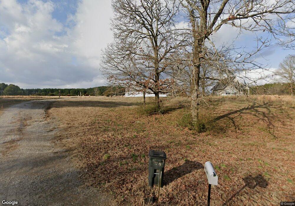
24 Long Branch Rd Pangburn, AR 72121
Estimated Value: $485,000 - $784,000
6
Beds
5
Baths
6,121
Sq Ft
$104/Sq Ft
Est. Value
About This Home
This home is located at 24 Long Branch Rd, Pangburn, AR 72121 and is currently estimated at $634,500, approximately $103 per square foot. 24 Long Branch Rd is a home located in Cleburne County with nearby schools including Pangburn Elementary School and Pangburn High School.
Ownership History
Date
Name
Owned For
Owner Type
Purchase Details
Closed on
Dec 27, 2022
Sold by
Moore Walter Gene and Moore Karen Conrad
Bought by
Sutterfield Dennis and Sutterfield Debra
Current Estimated Value
Purchase Details
Closed on
Jul 10, 2020
Sold by
Marchbanks Alice
Bought by
Moore Walter Gene and Moore Karen C
Purchase Details
Closed on
Dec 3, 2015
Sold by
Johnson Dana Parr
Bought by
Moore Walter and Moore Karen
Purchase Details
Closed on
May 18, 1998
Bought by
Johnson, Dana Parr, Trustee
Purchase Details
Closed on
Dec 1, 1994
Bought by
Johnson Dana E
Purchase Details
Closed on
Jan 1, 1982
Bought by
Johnson Dana E
Create a Home Valuation Report for This Property
The Home Valuation Report is an in-depth analysis detailing your home's value as well as a comparison with similar homes in the area
Home Values in the Area
Average Home Value in this Area
Purchase History
| Date | Buyer | Sale Price | Title Company |
|---|---|---|---|
| Sutterfield Dennis | -- | None Listed On Document | |
| Moore Walter Gene | $30,000 | Dalco Closing And Title | |
| Moore Walter | $325,600 | Cornerstone Title & Escrow S | |
| Johnson, Dana Parr, Trustee | -- | -- | |
| Johnson Dana E | -- | -- | |
| Johnson Dana E | -- | -- |
Source: Public Records
Tax History Compared to Growth
Tax History
| Year | Tax Paid | Tax Assessment Tax Assessment Total Assessment is a certain percentage of the fair market value that is determined by local assessors to be the total taxable value of land and additions on the property. | Land | Improvement |
|---|---|---|---|---|
| 2024 | $2,336 | $60,983 | $5,256 | $55,727 |
| 2023 | $2,411 | $60,983 | $5,256 | $55,727 |
| 2022 | $2,429 | $60,983 | $5,256 | $55,727 |
| 2021 | $2,389 | $63,079 | $5,707 | $57,372 |
| 2020 | $2,282 | $60,755 | $5,028 | $55,727 |
| 2019 | $2,137 | $60,755 | $5,028 | $55,727 |
| 2018 | $2,066 | $60,755 | $5,028 | $55,727 |
| 2017 | $1,969 | $60,755 | $5,028 | $55,727 |
| 2016 | $2,057 | $44,528 | $9,730 | $34,798 |
| 2015 | $2,523 | $61,792 | $7,508 | $54,284 |
| 2014 | $2,523 | $61,792 | $7,508 | $54,284 |
Source: Public Records
Map
Nearby Homes
- 124 Pangburn Rd
- 50 Tnt Ln
- 211 Mckee St
- 002 Dripping Springs Rd
- 001 Dripping Springs Rd
- 802 Torrence St
- 13 River Drive Estates
- 0 Searcy Hwy 16
- 505 Pine St
- 176 River Mist Dr
- 1105 Long Branch Rd
- 3552 Highway 16
- 119 River Dr E
- 1 River Dr E
- 290 Raintree Valley Rd
- 245 Riverside Dr
- 204 Riverside Dr
- 4884 Pangburn Rd
- 119 Earnie Atkins Rd
- 141 Ernie Atkins Rd
- 6100 Pangburn Rd
- 6249 Pangburn Rd
- 85 Long Branch Rd
- 140 Long Branch Rd
- 120 Long Branch Rd
- 1320 Long Branch Rd
- 0 Long Branch Rd
- 6436 Pangburn Rd
- 000 Landing Dr
- 130 Long Branch Rd
- 150 Long Branch Rd
- 175 Long Branch Rd
- 117 Long Branch Rd
- 140 Long Branch Rd
- 10 Pokey Ln
- 0 Long Branch Rd Unit 20015960
- 170 Long Branch Rd
- 65 Pokey Ln
- 65 Pokey Ln
- 65 Pokey Ln
