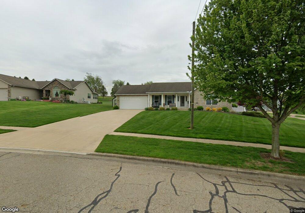
24 Longitude Dr Mount Vernon, OH 43050
Estimated Value: $274,000 - $365,000
3
Beds
2
Baths
1,528
Sq Ft
$211/Sq Ft
Est. Value
About This Home
This home is located at 24 Longitude Dr, Mount Vernon, OH 43050 and is currently estimated at $322,825, approximately $211 per square foot. 24 Longitude Dr is a home located in Knox County with nearby schools including Mount Vernon High School, St. Vincent de Paul School, and Ruscel Montessori Childrens House.
Ownership History
Date
Name
Owned For
Owner Type
Purchase Details
Closed on
Dec 17, 2004
Sold by
Blanchard William A
Bought by
Hoar David W and Hoar Patricia A
Current Estimated Value
Purchase Details
Closed on
Oct 20, 2004
Sold by
Schlabach Dennis R
Bought by
Blanchard William A
Purchase Details
Closed on
Oct 22, 2003
Sold by
Schlabach Dennis R
Bought by
Schlabach Dennis R
Create a Home Valuation Report for This Property
The Home Valuation Report is an in-depth analysis detailing your home's value as well as a comparison with similar homes in the area
Home Values in the Area
Average Home Value in this Area
Purchase History
| Date | Buyer | Sale Price | Title Company |
|---|---|---|---|
| Hoar David W | $182,600 | -- | |
| Blanchard William A | $29,000 | -- | |
| Schlabach Dennis R | -- | -- |
Source: Public Records
Tax History Compared to Growth
Tax History
| Year | Tax Paid | Tax Assessment Tax Assessment Total Assessment is a certain percentage of the fair market value that is determined by local assessors to be the total taxable value of land and additions on the property. | Land | Improvement |
|---|---|---|---|---|
| 2024 | $3,013 | $87,930 | $13,720 | $74,210 |
| 2023 | $3,013 | $87,930 | $13,720 | $74,210 |
| 2022 | $2,707 | $72,670 | $11,340 | $61,330 |
| 2021 | $2,707 | $72,670 | $11,340 | $61,330 |
| 2020 | $2,637 | $72,670 | $11,340 | $61,330 |
| 2019 | $2,598 | $67,460 | $11,020 | $56,440 |
| 2018 | $2,599 | $67,460 | $11,020 | $56,440 |
| 2017 | $2,552 | $67,460 | $11,020 | $56,440 |
| 2016 | $2,339 | $62,470 | $10,210 | $52,260 |
| 2015 | $2,349 | $62,470 | $10,210 | $52,260 |
| 2014 | $2,362 | $62,470 | $10,210 | $52,260 |
| 2013 | $2,308 | $58,780 | $6,390 | $52,390 |
Source: Public Records
Map
Nearby Homes
- 33 Longitude Dr
- 200 Mansfield Rd
- 107 Northridge Dr
- 109 Northridge Dr
- 769 Upper Fredericktown Rd
- 9 Rose Ave
- 6 Miller Ave
- 0 Indian Hills Rd
- 12567 Upper Fredericktown Rd
- 14835 Indian Hills Rd
- 10 Yoakam Dr
- 800 N Sandusky St
- 464 Wooster Rd
- 13219 Old Mansfield Rd
- 12 Northview Dr
- 812 N Gay St
- 13 Mansfield Ave
- 7 Elizabeth St
- 0 Compass Point Ct Unit L-9
- 3 Compass Point Ct
- 26 Longitude Dr
- 19 Longitude Dr
- 5 Compass Point Ct
- 28 Longitude Dr
- 21 Longitude Dr
- 18 Longitude Dr
- 23 Longitude Dr
- 17 Longitude Dr
- 30 Longitude Dr
- 4 Compass Point Ct
- 6 Compass Point Ct
- 25 Longitude Dr
- 15 Longitude Dr
- 32 Longitude Dr
- 27 Longitude Dr
- 4 Latitude Dr
- 13 Longitude Dr
- 301 Fairgrounds Rd