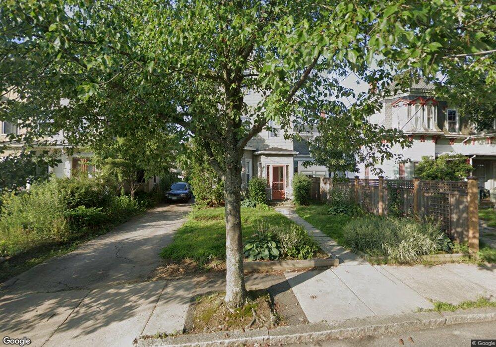
24 Maple Ave Somerville, MA 02145
Winter Hill NeighborhoodEstimated Value: $782,000 - $1,083,882
4
Beds
2
Baths
2,018
Sq Ft
$481/Sq Ft
Est. Value
About This Home
This home is located at 24 Maple Ave, Somerville, MA 02145 and is currently estimated at $969,721, approximately $480 per square foot. 24 Maple Ave is a home located in Middlesex County with nearby schools including Somerville High School, Prospect Hill Academy Upper Elementary Campus, and Saint Theresa School.
Ownership History
Date
Name
Owned For
Owner Type
Purchase Details
Closed on
Aug 6, 2010
Sold by
Doheney James P and Doheney Edward J
Bought by
Nutter Steven N
Current Estimated Value
Home Financials for this Owner
Home Financials are based on the most recent Mortgage that was taken out on this home.
Original Mortgage
$394,685
Outstanding Balance
$263,682
Interest Rate
4.75%
Mortgage Type
FHA
Estimated Equity
$706,039
Purchase Details
Closed on
Oct 1, 2009
Sold by
Doheney Robert M
Bought by
Doheney Edward J and Memory Sarah A
Create a Home Valuation Report for This Property
The Home Valuation Report is an in-depth analysis detailing your home's value as well as a comparison with similar homes in the area
Home Values in the Area
Average Home Value in this Area
Purchase History
| Date | Buyer | Sale Price | Title Company |
|---|---|---|---|
| Nutter Steven N | $400,000 | -- | |
| Doheney Edward J | -- | -- |
Source: Public Records
Mortgage History
| Date | Status | Borrower | Loan Amount |
|---|---|---|---|
| Open | Nutter Steven N | $394,685 |
Source: Public Records
Tax History
| Year | Tax Paid | Tax Assessment Tax Assessment Total Assessment is a certain percentage of the fair market value that is determined by local assessors to be the total taxable value of land and additions on the property. | Land | Improvement |
|---|---|---|---|---|
| 2025 | $9,456 | $866,700 | $427,400 | $439,300 |
| 2024 | $8,853 | $841,500 | $427,400 | $414,100 |
| 2023 | $8,170 | $790,100 | $427,400 | $362,700 |
| 2022 | $7,640 | $750,500 | $407,000 | $343,500 |
| 2021 | $7,189 | $705,500 | $387,700 | $317,800 |
| 2020 | $6,790 | $672,900 | $372,800 | $300,100 |
| 2019 | $6,375 | $592,500 | $316,400 | $276,100 |
| 2018 | $6,232 | $551,000 | $305,200 | $245,800 |
| 2017 | $5,954 | $510,200 | $284,600 | $225,600 |
| 2016 | $5,805 | $463,300 | $246,100 | $217,200 |
| 2015 | $5,485 | $435,000 | $219,500 | $215,500 |
Source: Public Records
Map
Nearby Homes
- 185 School St
- 15 Stickney Ave Unit C
- 15 Stickney Ave Unit A
- 9 Dartmouth St
- 7 Mortimer Place Unit 2
- 52 Thurston St Unit 3
- 232 Pearl St
- 115 Thurston St Unit I
- 19 Fenwick St Unit 4
- 25 Browning Rd
- 46 Highland Ave Unit 3B
- 178 Central St
- 30 Wheatland St
- 89 Central St
- 144 Highland Ave Unit 1
- 74 Gilman St Unit 1
- 89 Heath St
- 11 Macarthur St Unit B
- 11 Macarthur St Unit A
- 60 Derby St Unit 5
- 22 Maple Ave
- 22 Maple Ave Unit 2
- 22 Maple Ave Unit 1
- 28 Maple Ave
- 28 Maple Ave Unit 28
- 205 School St
- 18 Maple Ave
- 203 School St
- 201 School St
- 21 Howe St
- 16 Maple Ave Unit 3
- 16 Maple Ave Unit 2
- 16 Maple Ave Unit 1
- 16 Maple Ave
- 19 Howe St
- 19 Howe St Unit 2
- 23 Maple Ave
- 27 Maple Ave
- 27 Maple Ave Unit 1
- 27 Maple Ave
Your Personal Tour Guide
Ask me questions while you tour the home.