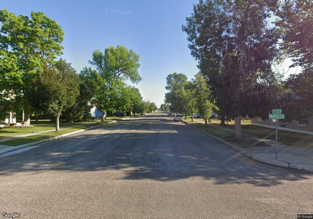
24 Maple St Wheatland, WY 82201
Estimated Value: $136,663 - $248,000
--
Bed
--
Bath
368
Sq Ft
$504/Sq Ft
Est. Value
About This Home
This home is located at 24 Maple St, Wheatland, WY 82201 and is currently estimated at $185,416, approximately $503 per square foot. 24 Maple St is a home.
Ownership History
Date
Name
Owned For
Owner Type
Purchase Details
Closed on
Jul 15, 2025
Sold by
Smith Paul M and Smith Arah P
Bought by
Smith Family Trust and Smith
Current Estimated Value
Create a Home Valuation Report for This Property
The Home Valuation Report is an in-depth analysis detailing your home's value as well as a comparison with similar homes in the area
Home Values in the Area
Average Home Value in this Area
Purchase History
| Date | Buyer | Sale Price | Title Company |
|---|---|---|---|
| Smith Family Trust | -- | None Listed On Document | |
| Smith Family Trust | -- | None Listed On Document |
Source: Public Records
Tax History Compared to Growth
Tax History
| Year | Tax Paid | Tax Assessment Tax Assessment Total Assessment is a certain percentage of the fair market value that is determined by local assessors to be the total taxable value of land and additions on the property. | Land | Improvement |
|---|---|---|---|---|
| 2025 | $327 | $3,780 | $1,523 | $2,257 |
| 2024 | $327 | $4,847 | $1,953 | $2,894 |
| 2023 | $308 | $4,569 | $1,729 | $2,840 |
| 2022 | $300 | $4,252 | $1,729 | $2,523 |
| 2021 | $285 | $4,046 | $1,633 | $2,413 |
| 2020 | $275 | $3,903 | $1,633 | $2,270 |
| 2019 | $264 | $3,776 | $1,633 | $2,143 |
| 2018 | $254 | $3,634 | $1,633 | $2,001 |
| 2017 | $228 | $3,256 | $1,633 | $1,623 |
| 2016 | $225 | $3,213 | $1,633 | $1,580 |
| 2015 | $207 | $3,181 | $1,633 | $1,548 |
| 2014 | $207 | $2,962 | $1,633 | $1,329 |
Source: Public Records
Map
Nearby Homes
- 13 Roscoe Trail
- Tract GO-19 Glendo Overlook
- Por. Section 17 Glendo Park Rd Unit 1
- Por. Section 17 Glendo Park Rd Unit 3
- 0 Glendo Park Rd Unit 20253929
- Por. Section 17 Glendo Park Rd
- 118 S Lincoln Ave
- 29 Lazy Pants Loop
- 223 6th St
- 218 S Lincoln Ave
- 110 Lazy Pants Loop
- 264 S Glendo Hwy
- 1061 Meadowdale Rd
- TBD Tract 4 Prairieview Dr
- TBD TR 1 Prairie View Rd
- TBD TR 3 Prairie View Rd
- 945 Wendover Rd
- TBD Trapper Trail
- Tbd Trapper Trail
- 67 El Rancho Rd
