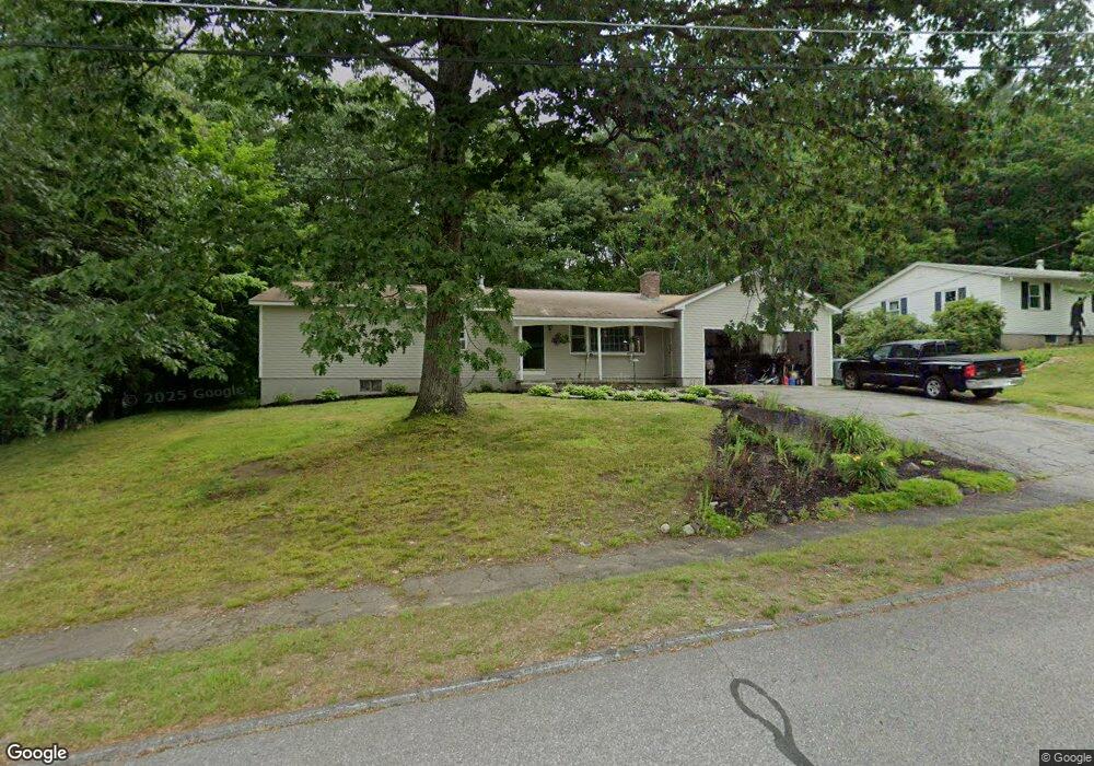
24 Mark Cir Holden, MA 01520
Estimated Value: $497,000 - $535,000
3
Beds
3
Baths
1,603
Sq Ft
$321/Sq Ft
Est. Value
About This Home
This home is located at 24 Mark Cir, Holden, MA 01520 and is currently estimated at $514,434, approximately $320 per square foot. 24 Mark Cir is a home located in Worcester County with nearby schools including Wachusett Regional High School, Bancroft School, and Holden Christian Academy.
Ownership History
Date
Name
Owned For
Owner Type
Purchase Details
Closed on
Apr 5, 2007
Sold by
Bernstein Barry W
Bought by
Rofeh Shenaim Rt and Grolman Ira H
Current Estimated Value
Purchase Details
Closed on
May 31, 2000
Sold by
Tobarran Gaindalall P and Tobarran Liloutie B
Bought by
Bernstein Barry W
Home Financials for this Owner
Home Financials are based on the most recent Mortgage that was taken out on this home.
Original Mortgage
$163,800
Interest Rate
8.14%
Mortgage Type
Purchase Money Mortgage
Purchase Details
Closed on
Dec 31, 1992
Sold by
Mischitelli Vincent and Mischitelli Shirley
Bought by
Tobarran Gaindalall and Tobarran Liloutie
Create a Home Valuation Report for This Property
The Home Valuation Report is an in-depth analysis detailing your home's value as well as a comparison with similar homes in the area
Home Values in the Area
Average Home Value in this Area
Purchase History
| Date | Buyer | Sale Price | Title Company |
|---|---|---|---|
| Rofeh Shenaim Rt | $250,000 | -- | |
| Bernstein Barry W | $162,750 | -- | |
| Tobarran Gaindalall | $143,000 | -- |
Source: Public Records
Mortgage History
| Date | Status | Borrower | Loan Amount |
|---|---|---|---|
| Previous Owner | Tobarran Gaindalall | $220,000 | |
| Previous Owner | Tobarran Gaindalall | $192,000 | |
| Previous Owner | Tobarran Gaindalall | $163,800 | |
| Previous Owner | Tobarran Gaindalall | $80,000 |
Source: Public Records
Tax History
| Year | Tax Paid | Tax Assessment Tax Assessment Total Assessment is a certain percentage of the fair market value that is determined by local assessors to be the total taxable value of land and additions on the property. | Land | Improvement |
|---|---|---|---|---|
| 2025 | $6,708 | $484,000 | $159,300 | $324,700 |
| 2024 | $6,578 | $464,900 | $154,600 | $310,300 |
| 2023 | $6,393 | $426,500 | $134,400 | $292,100 |
| 2022 | $6,276 | $379,000 | $105,000 | $274,000 |
| 2021 | $6,066 | $348,600 | $100,000 | $248,600 |
| 2020 | $5,319 | $312,900 | $95,300 | $217,600 |
| 2019 | $5,226 | $299,500 | $95,300 | $204,200 |
| 2018 | $4,911 | $278,900 | $90,700 | $188,200 |
| 2017 | $4,786 | $272,100 | $90,700 | $181,400 |
| 2016 | $4,504 | $261,100 | $86,400 | $174,700 |
| 2015 | $4,680 | $258,300 | $86,400 | $171,900 |
| 2014 | $4,585 | $258,300 | $86,400 | $171,900 |
Source: Public Records
Map
Nearby Homes
- 47 Harvest Cir
- 527 Salisbury St
- 288 Fisher Rd
- 23 Gail Dr
- 168 Twinbrooke Dr
- 4004 Brompton Cir
- 158 Chester St
- 131 Twinbrooke Dr
- 0 Chapin Rd
- 770 Salisbury St Unit 333
- 90 Bjorklund Ave
- 42 N Worcester Ave
- 12 Tattan Farm Rd
- 289 Bailey Rd
- 46 Barry Rd
- 61 Barry Rd
- 16 Baiting Brook Ln Unit 64
- 14 Baiting Brook Ln Unit 65
- 10 Baiting Brook Ln Unit 67
- 1 Baiting Brook Ln Unit 50
Your Personal Tour Guide
Ask me questions while you tour the home.