24 Mayfair Rd Southampton, NJ 08088
Estimated Value: $380,000 - $425,000
--
Bed
--
Bath
1,561
Sq Ft
$260/Sq Ft
Est. Value
About This Home
This home is located at 24 Mayfair Rd, Southampton, NJ 08088 and is currently estimated at $406,519, approximately $260 per square foot. 24 Mayfair Rd is a home located in Burlington County with nearby schools including Southampton Twp School No 1, Southampton Twp School No 2, and Southampton Twp School No 3.
Ownership History
Date
Name
Owned For
Owner Type
Purchase Details
Closed on
Jul 31, 2024
Sold by
Figard Debora Ann and Figard Steven Brian
Bought by
Figard Steven Brian and Figard Debora Ann
Current Estimated Value
Purchase Details
Closed on
Jul 29, 2022
Sold by
Caroline Sylvester
Bought by
Figard Steven Brian and Reca Debora Ann
Home Financials for this Owner
Home Financials are based on the most recent Mortgage that was taken out on this home.
Original Mortgage
$225,000
Interest Rate
4.45%
Mortgage Type
New Conventional
Purchase Details
Closed on
Mar 31, 1998
Sold by
Orleans Corp Of New Jersey
Bought by
Sylvester Robert and Sylvester Caroline
Home Financials for this Owner
Home Financials are based on the most recent Mortgage that was taken out on this home.
Original Mortgage
$100,000
Interest Rate
6.52%
Create a Home Valuation Report for This Property
The Home Valuation Report is an in-depth analysis detailing your home's value as well as a comparison with similar homes in the area
Home Values in the Area
Average Home Value in this Area
Purchase History
| Date | Buyer | Sale Price | Title Company |
|---|---|---|---|
| Figard Steven Brian | -- | None Listed On Document | |
| Figard Steven Brian | -- | None Listed On Document | |
| Figard Steven Brian | $325,000 | Old Republic Title | |
| Figard Steven Brian | $325,000 | Old Republic Title | |
| Sylvester Robert | $153,085 | First American Title Ins Co |
Source: Public Records
Mortgage History
| Date | Status | Borrower | Loan Amount |
|---|---|---|---|
| Previous Owner | Figard Steven Brian | $225,000 | |
| Previous Owner | Sylvester Robert | $100,000 |
Source: Public Records
Tax History Compared to Growth
Tax History
| Year | Tax Paid | Tax Assessment Tax Assessment Total Assessment is a certain percentage of the fair market value that is determined by local assessors to be the total taxable value of land and additions on the property. | Land | Improvement |
|---|---|---|---|---|
| 2025 | $5,961 | $180,700 | $46,300 | $134,400 |
| 2024 | $5,741 | $180,700 | $46,300 | $134,400 |
| 2023 | $5,741 | $180,700 | $46,300 | $134,400 |
| 2022 | $5,538 | $180,700 | $46,300 | $134,400 |
| 2021 | $4,767 | $180,700 | $46,300 | $134,400 |
| 2020 | $5,298 | $180,700 | $46,300 | $134,400 |
| 2019 | $5,184 | $180,700 | $46,300 | $134,400 |
| 2018 | $5,063 | $180,700 | $46,300 | $134,400 |
| 2017 | $4,831 | $180,700 | $46,300 | $134,400 |
| 2016 | $4,723 | $180,700 | $46,300 | $134,400 |
| 2015 | $4,566 | $180,700 | $46,300 | $134,400 |
| 2014 | $4,396 | $180,700 | $46,300 | $134,400 |
Source: Public Records
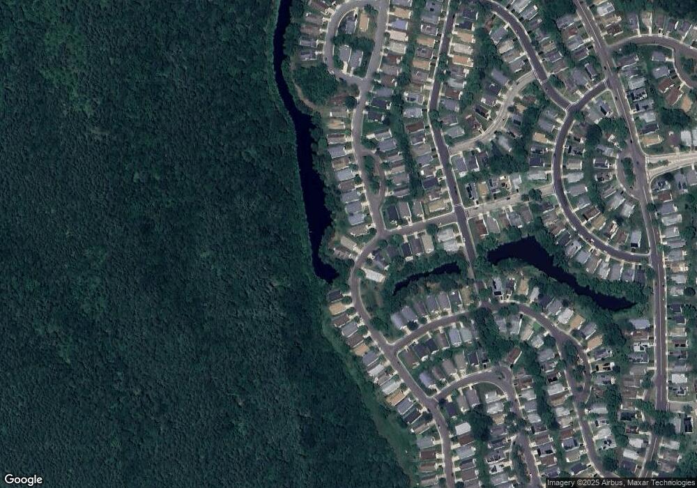
Map
Nearby Homes
- 53 Dunstable Rd
- 9 Mayfair Rd
- 37 Stratford Rd
- 33 Dunstable Rd
- 29 Dunstable Rd
- 36 Cotherstone Dr
- 25 Dunstable Rd
- 48 Stratford Rd
- 19 Dunstable Rd
- 67 Mayfair Rd
- 1 Westminster Dr S
- 10 Dunstable Rd
- 985 Westminster Dr N
- 58 Westminster Dr S
- 248 Huntington Dr
- 66 Westminster Dr S
- 875 Westminster Dr N
- 240 Huntington Dr
- 14 Burtons Dr
- 20 Buxton Ct