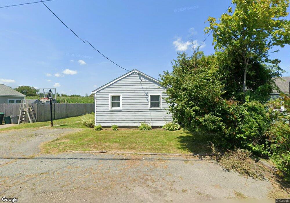
24 Mcarthur Ln Marshfield, MA 02050
Ocean Bluff-Brant Rock NeighborhoodEstimated Value: $451,000 - $473,544
2
Beds
1
Bath
661
Sq Ft
$705/Sq Ft
Est. Value
About This Home
This home is located at 24 Mcarthur Ln, Marshfield, MA 02050 and is currently estimated at $465,886, approximately $704 per square foot. 24 Mcarthur Ln is a home located in Plymouth County with nearby schools including Daniel Webster, Furnace Brook Middle School, and Marshfield High School.
Ownership History
Date
Name
Owned For
Owner Type
Purchase Details
Closed on
Sep 23, 2016
Sold by
Kinder Patricia and Huard Franz N
Bought by
Stewart Jill L
Current Estimated Value
Home Financials for this Owner
Home Financials are based on the most recent Mortgage that was taken out on this home.
Original Mortgage
$225,798
Outstanding Balance
$180,970
Interest Rate
3.62%
Mortgage Type
FHA
Estimated Equity
$284,916
Purchase Details
Closed on
Feb 5, 2008
Sold by
Kinder Donald A and Kinder Patricia
Bought by
Kinder Patricia and Huard Franz N
Purchase Details
Closed on
Sep 14, 2007
Sold by
Kinder Patricia Ann
Bought by
Kinder Donald A
Create a Home Valuation Report for This Property
The Home Valuation Report is an in-depth analysis detailing your home's value as well as a comparison with similar homes in the area
Home Values in the Area
Average Home Value in this Area
Purchase History
| Date | Buyer | Sale Price | Title Company |
|---|---|---|---|
| Stewart Jill L | $230,000 | -- | |
| Kinder Patricia | -- | -- | |
| Kinder Patricia | -- | -- | |
| Kinder Donald A | -- | -- | |
| Kinder Donald A | -- | -- |
Source: Public Records
Mortgage History
| Date | Status | Borrower | Loan Amount |
|---|---|---|---|
| Open | Stewart Jill L | $225,798 | |
| Closed | Stewart Jill L | $225,798 |
Source: Public Records
Tax History Compared to Growth
Tax History
| Year | Tax Paid | Tax Assessment Tax Assessment Total Assessment is a certain percentage of the fair market value that is determined by local assessors to be the total taxable value of land and additions on the property. | Land | Improvement |
|---|---|---|---|---|
| 2025 | $4,126 | $416,800 | $317,600 | $99,200 |
| 2024 | $4,064 | $391,100 | $297,800 | $93,300 |
| 2023 | $3,860 | $344,300 | $268,000 | $76,300 |
| 2022 | $3,860 | $298,100 | $228,300 | $69,800 |
| 2021 | $3,712 | $281,400 | $218,400 | $63,000 |
| 2020 | $3,309 | $248,200 | $188,600 | $59,600 |
| 2019 | $3,275 | $244,800 | $188,600 | $56,200 |
| 2018 | $3,273 | $244,800 | $188,600 | $56,200 |
| 2017 | $3,084 | $224,800 | $178,700 | $46,100 |
| 2016 | $2,981 | $214,800 | $168,700 | $46,100 |
| 2015 | $2,855 | $214,800 | $168,700 | $46,100 |
| 2014 | $2,885 | $217,100 | $168,700 | $48,400 |
Source: Public Records
Map
Nearby Homes
- 28 Mcarthur Ln
- 32 Mcarthur Ln
- 18 Mcarthur Ln
- 27 Macarthur Ln Unit Winter
- 27 Mcarthur Ln Unit WINTER
- 27 Mcarthur Ln
- 23 Mcarthur Ln
- 36 Mcarthur Ln
- 36 Mcarthur Ln Unit 36
- 36 Mcarthur Ln
- 19 Mcarthur Ln
- 31 Mcarthur Ln
- 40 Macarthur Ln
- 35 Mcarthur Ln
- 8 Mcarthur Ln
- 39 Mcarthur Ln
- 11 Mcarthur Ln
- 20 Johnson Terrace
- 16 Johnson Terrace
- 16 Johnson Terrace Unit 1